
| Distance / Altitude | Location | Report Date / Time | Live Weather | Wind | Gusts | Temp. | Visibility | Cloud |
|---|---|---|---|---|---|---|---|---|
| 22 km SE / 202 m | Puerto Barrios Airport (Guatemala) | 2026-07-09 12:00 local (2026/07/09 18:00 GMT) | Dry and cloudy | light winds from the WNW (11 km/h at 300) | 26°C | 10.0 | scattered few overcast | |
| 74 km S / 1402 m | Yoro Airport (Honduras) | 2026-07-09 12:00 local (2026/07/09 18:00 GMT) | - | wind obs. (7 kph from 180 degs) was rejected (- km/h at -) | — | 10.0 | scattered - - | |
| 86 km ESE / 440 m | Santa Ana wx (Honduras) | 2026-07-09 13:06 local (2026/07/09 19:06 GMT) | dry | wind obs. (8 kph from 191 degs) was rejected (- km/h at -) | — | - | - - 0 | |
| 97 km ESE / 384 m | La Mesa-Pedro Sula (Honduras) | 2026-07-09 12:00 local (2026/07/09 18:00 GMT) | Dry and partly cloudy | light winds from the NE (19 km/h at 40) | 32°C | 10.0 | scattered scattered - | |
| 126 km SSW / 365 m | Zacapa Airport (Guatemala) | 2026-07-09 12:00 local (2026/07/09 18:00 GMT) | Dry and cloudy | light winds from the NE (15 km/h at 50) | 30°C | 10.0 | few overcast | |
| 128 km S / 314 m | Santa Rosa de Copán Airport (Honduras) | 2026-07-09 12:00 local (2026/07/09 18:00 GMT) | Dry and partly cloudy | light winds from the N (13 km/h at 10) | 28°C | 10.0 | broken | |
| 136 km E / 193 m | Tela Airport (Honduras) | 2026-07-09 12:00 local (2026/07/09 18:00 GMT) | Dry and partly cloudy | light winds from the ENE (11 km/h at 60) | 33°C | 10.0 | scattered few | |
| 141 km S / 913 m | Celaque Airport (Honduras) | 2026-07-09 12:00 local (2026/07/09 18:00 GMT) | Dry and partly cloudy | light winds from the N (19 km/h at 360) | 30°C | 10.0 | scattered few | |
| 144 km NW / 105 m | Melchor de Mencos Airport (Guatemala) | 2026-07-09 13:00 local (2026/07/09 19:00 GMT) | Dry and partly cloudy | wind obs. (19 kph from 200 degs) was rejected (- km/h at -) | 31°C | 10.0 | few broken | |
| 154 km S / 961 m | Esquipulas Airport (Guatemala) | 2026-07-09 12:00 local (2026/07/09 18:00 GMT) | Dry and cloudy | light winds from the NNE (15 km/h at 30) | 27°C | 10.0 | broken overcast |
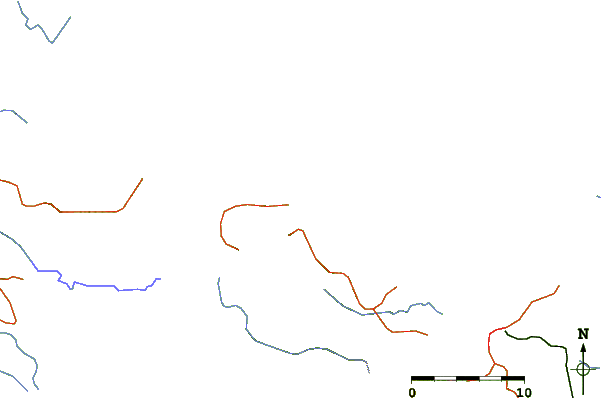
| Contours: | Roads & Rivers: | Select a
tide station / surf break / city |
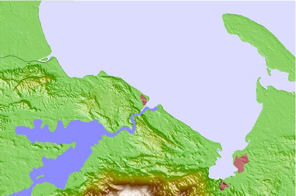
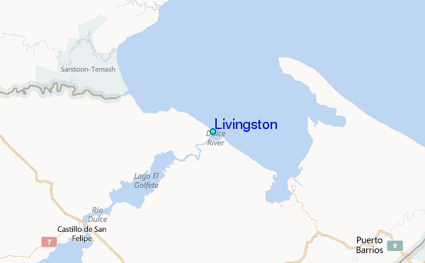
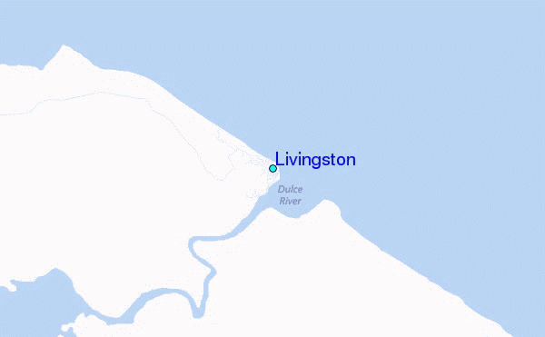
Use this relief map to navigate to tide stations, surf breaks and cities that are in the area of Livingston.
Other Nearby Locations' tide tables and tide charts to Livingston:
click location name for more details
 Surf breaks close to Livingston:
|
||
|---|---|---|
| Closest surf break | East Point Long Cay | 132 mi |
| Second closest surf break | Palma Real | 149 mi |
| Third closest surf break | San Pedro South Reef Pass | 152 mi |
| Fourth closest surf break | San Pedro North Reef Pass | 155 mi |
| Fifth closest surf break | Fishermans Point | 166 mi |


 Nearest
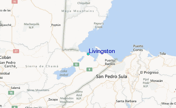