
| Distance / Altitude | Location | Report Date / Time | Live Weather | Wind | Gusts | Temp. | Visibility | Cloud |
|---|---|---|---|---|---|---|---|---|
| 9 km SSW / 34 m | Miramichi Rcs- NB (Canada) | 2025-12-26 03:00 local (2025/12/26 07:00 GMT) | - | wind obs. (14 kph from 230 degs) was rejected (- km/h at -) | — | - | - | |
| 9 km SSW / 31 m | Chatham (Canada) | 2025-12-26 02:00 local (2025/12/26 06:00 GMT) | - | calm (4 km/h at 150) | — | - | - | |
| 42 km SE / 34 m | Kouchibouguac Cs- NB (Canada) | 2025-12-26 03:00 local (2025/12/26 07:00 GMT) | - | wind obs. (7 kph from 210 degs) was rejected (- km/h at -) | — | - | - | |
| 45 km NW / 124 m | Red Pines- NB (Canada) | 2025-12-26 02:00 local (2025/12/26 06:00 GMT) | - | calm (4 km/h at 260) | — | - | - - - | |
| 67 km NW / 217 m | Bathurst Airport (New Brunswick) | 2025-12-26 02:25 local (2025/12/26 06:25 GMT) | Light snow | light winds from the WNW.(Wind varies from 270 to 340 degs) (15 km/h at 300) | -9°C | 14 | scattered | |
| 68 km NW / 59 m | Bathurst Airport (Canada) | 2025-12-26 02:00 local (2025/12/26 06:00 GMT) | - | wind obs. (11 kph from 260 degs) was rejected (- km/h at -) | — | - | - - - | |
| 72 km SSW / 44 m | Doaktown Auto Rcs- NB (Canada) | 2025-12-26 02:00 local (2025/12/26 06:00 GMT) | - | wind obs. (11 kph from 260 degs) was rejected (- km/h at -) | — | - | - | |
| 92 km NNE / 5 m | Bas Caraquet- NB (Canada) | 2025-12-26 02:00 local (2025/12/26 06:00 GMT) | - | wind obs. (11 kph from 270 degs) was rejected (- km/h at -) | — | - | - | |
| 100 km SE / 9 m | Cocagne Cape Marina (Canada) | 2025-12-26 03:00 local (2025/12/26 07:00 GMT) | - | gales from the NNW (63 km/h at 338) | -8°C | - | - - 0 | |
| 105 km N / 46 m | New Carlisle 1- Que (Canada) | 2025-12-26 02:00 local (2025/12/26 06:00 GMT) | - | wind obs. (7 kph from 290 degs) was rejected (- km/h at -) | — | - | - - - |
| Contours: | Roads & Rivers: | Select a
tide station / surf break / city |
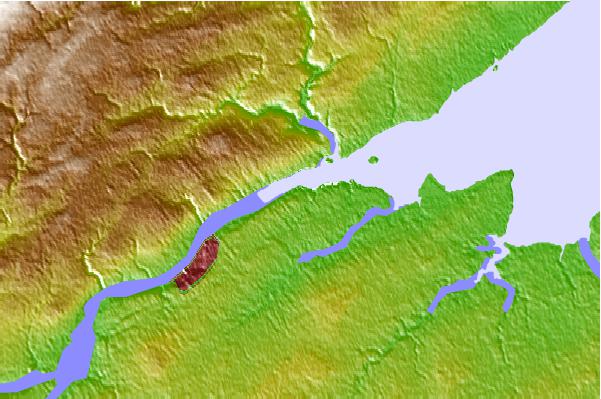
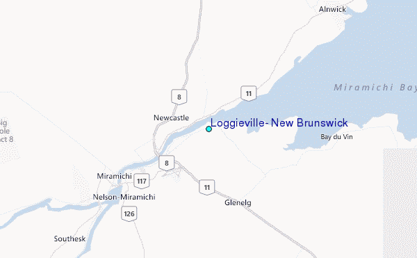
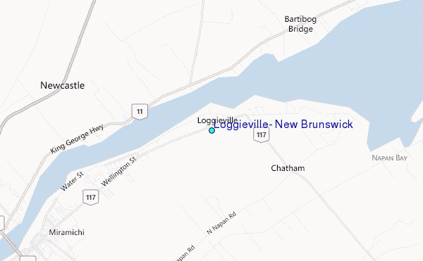
Use this relief map to navigate to tide stations, surf breaks and cities that are in the area of Loggieville, New Brunswick.
Other Nearby Locations' tide tables and tide charts to Loggieville, New Brunswick:
click location name for more details
 Surf breaks close to Loggieville, New Brunswick:
|
||
|---|---|---|
| Closest surf break | Backyards | 193 mi |
| Second closest surf break | Minutes | 193 mi |
| Third closest surf break | Cow Bay | 194 mi |
| Fourth closest surf break | Lawrencetown Right Point | 194 mi |
| Fifth closest surf break | Moose | 194 mi |


 Nearest
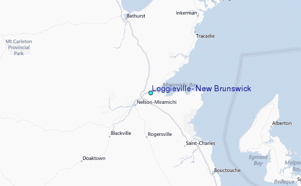