
| Distance / Altitude | Location | Report Date / Time | Live Weather | Wind | Gusts | Temp. | Visibility | Cloud |
|---|---|---|---|---|---|---|---|---|
| 59 km SE / 32 m | Bay Roberts (Newfoundland) | 2026-07-26 10:58 local (2026/07/26 13:28 GMT) | dry | calm (3 km/h at 75) | 21°C | - | - - 0 | |
| 64 km N / 216 m | Terra Nova Airport (Newfoundland) | 2026-07-26 11:30 local (2026/07/26 14:00 GMT) | - | calm (0 km/h at 0) | 27°C | 0.0 | ||
| 65 km NW / 107 m | Terra Nova Nat Park Cs- Nfld (Canada) | 2026-07-26 12:30 local (2026/07/26 15:00 GMT) | no report | moderate winds from the SW (22 km/h at 230) | 19°C | - | - | |
| 67 km SE / 52 m | The Battery wx (Canada) | 2026-07-26 11:30 local (2026/07/26 14:00 GMT) | dry | calm (5 km/h at 90) | 20°C | - | - - 0 | |
| 70 km SE / 15 m | SHIP4687 (Marine) | 2026-07-26 11:30 local (2026/07/26 14:00 GMT) | light winds from the ESE (11.16 km/h at 120) | — | - km | |||
| 70 km SE / 3 m | SHIP685 (Marine) | 2026-07-26 12:30 local (2026/07/26 15:00 GMT) | light winds from the SE (13 km/h at 130) | 19°C | - | |||
| 70 km SE / 15 m | SHIP1806 (Marine) | 2026-07-26 10:30 local (2026/07/26 13:00 GMT) | light winds from the ESE (9.360000000000001 km/h at 110) | — | - km | |||
| 70 km SE / 3 m | SHIP3194 (Marine) | 2026-07-26 10:30 local (2026/07/26 13:00 GMT) | light winds from the ESE (9 km/h at 110) | 19°C | - | |||
| 70 km SE / 15 m | SHIP9532 (Marine) | 2026-07-26 10:30 local (2026/07/26 13:00 GMT) | light winds from the ESE (9.360000000000001 km/h at 110) | — | - km | |||
| 70 km SE / 3 m | SHIP4026 (Marine) | 2026-07-26 10:30 local (2026/07/26 13:00 GMT) | light winds from the ESE (9 km/h at 110) | 19°C | - |
| Contours: | Roads & Rivers: | Select a
tide station / surf break / city |
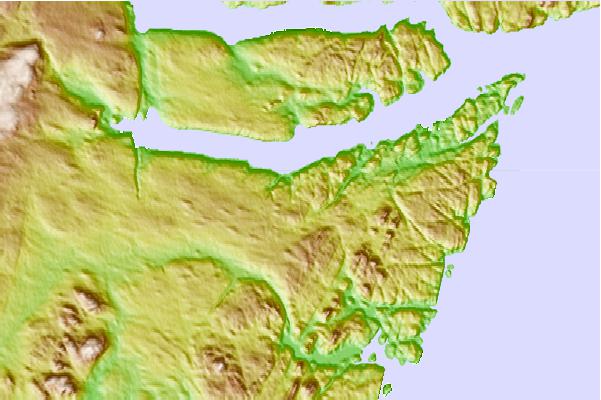
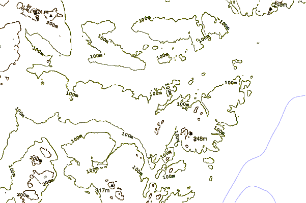
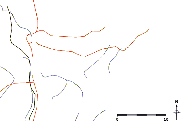
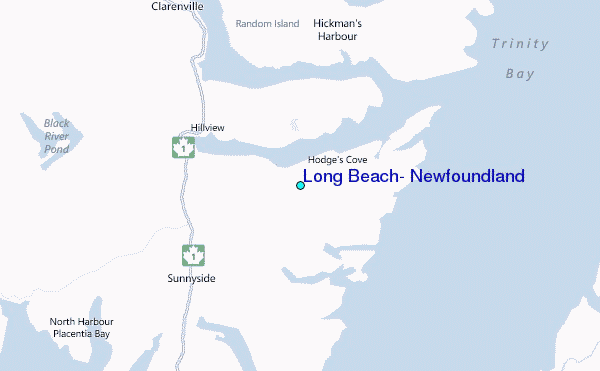
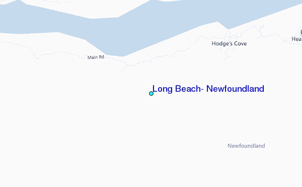
Use this relief map to navigate to tide stations, surf breaks and cities that are in the area of Long Beach, Newfoundland.
Other Nearby Locations' tide tables and tide charts to Long Beach, Newfoundland:
click location name for more details
 Surf breaks close to Long Beach, Newfoundland:
|
||
|---|---|---|
| Closest surf break | Ingonish Beach | 323 mi |
| Second closest surf break | Kennington Cove | 329 mi |
| Third closest surf break | Michaud Point | 366 mi |
| Fourth closest surf break | Martinique | 501 mi |
| Fifth closest surf break | Lawrencetown Left Point | 510 mi |


 Nearest
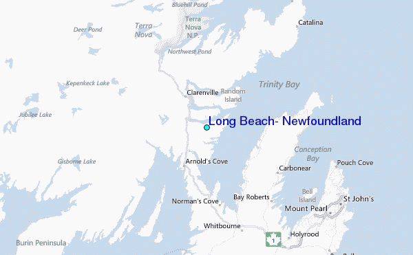