
| Distance / Altitude | Location | Report Date / Time | Live Weather | Wind | Gusts | Temp. | Visibility | Cloud |
|---|---|---|---|---|---|---|---|---|
| 5 km S / 237 m | Longkou ( 龙口) (Peoples Republic Of China) | 2025-12-26 05:00 local (2025/12/25 21:00 GMT) | - | wind obs. (7 kph from 10 degs) was rejected (- km/h at -) | — | 27 | - | |
| 122 km SE / 219 m | Haiyang ( 海阳) (Peoples Republic Of China) | 2025-12-26 05:00 local (2025/12/25 21:00 GMT) | - | light winds from the W (14 km/h at 280) | — | 7 | - | |
| 154 km SSW / 240 m | Weifang ( 潍坊) Airport (Peoples Republic Of China) | 2025-12-26 05:00 local (2025/12/25 21:00 GMT) | - | wind obs. (7 kph from 120 degs) was rejected (- km/h at -) | — | 30 | - | |
| 175 km S / 77 m | Qingdao (China) | 2025-12-26 05:00 local (2025/12/25 21:00 GMT) | - | wind obs. (14 kph from 120 degs) was rejected (- km/h at -) | — | 30 | - | |
| 179 km NE / 97 m | Dalian (China) | 2025-12-26 05:00 local (2025/12/25 21:00 GMT) | - | wind obs. (11 kph from 150 degs) was rejected (- km/h at -) | — | 26 | - | |
| 234 km NW / 237 m | Leting (Peoples Republic Of China) | 2025-12-26 05:00 local (2025/12/25 21:00 GMT) | - | wind obs. (14 kph from 110 degs) was rejected (- km/h at -) | — | 30 | - | |
| 249 km WSW / 207 m | Huimin ( 惠民县) (Peoples Republic Of China) | 2025-12-26 05:00 local (2025/12/25 21:00 GMT) | - | calm (4 km/h at 100) | — | 27 | - | |
| 254 km SSW / 302 m | Yiyuan (China) | 2025-12-26 05:00 local (2025/12/25 21:00 GMT) | - | wind obs. (11 kph from 90 degs) was rejected (- km/h at -) | — | 20 | - | |
| 262 km S / 219 m | Rizhao ( 日照) (Peoples Republic Of China) | 2025-12-26 05:00 local (2025/12/25 21:00 GMT) | - | wind obs. (14 kph from 110 degs) was rejected (- km/h at -) | — | 30 | - | |
| 294 km WNW / 190 m | Tangshan ( 唐山) (Peoples Republic Of China) | 2025-12-26 05:00 local (2025/12/25 21:00 GMT) | - | wind obs. (14 kph from 150 degs) was rejected (- km/h at -) | — | 30 | - |
| Contours: | Roads & Rivers: | Select a
tide station / surf break / city |
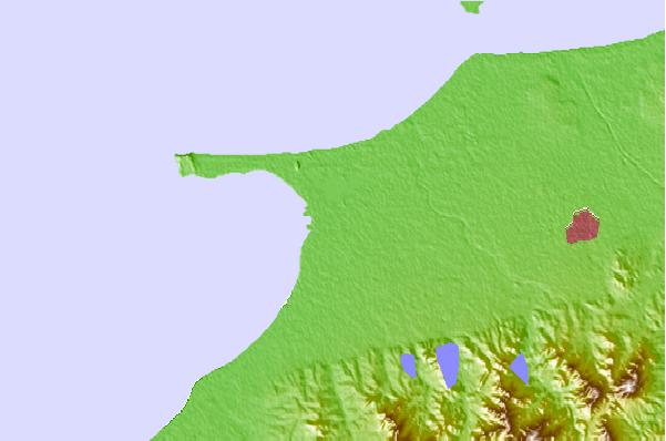
Use this relief map to navigate to tide stations, surf breaks and cities that are in the area of Longkou.
Other Nearby Locations' tide tables and tide charts to Longkou:
click location name for more details
 Surf breaks close to Longkou:
|
||
|---|---|---|
| Closest surf break | Songdojin ni | 441 mi |
| Second closest surf break | Jungmun Beach (Jeju Island) | 457 mi |
| Third closest surf break | 38 Line | 459 mi |
| Fourth closest surf break | Ingu Beach | 459 mi |
| Fifth closest surf break | Kangjeong (Jejudo Island) | 461 mi |


 Nearest