
| Distance / Altitude | Location | Report Date / Time | Live Weather | Wind | Gusts | Temp. | Visibility | Cloud |
|---|---|---|---|---|---|---|---|---|
| 247 km WSW / 5 m | Hall Beach (Canada) | 2025-12-24 22:00 local (2025/12/25 03:00 GMT) | - | moderate winds from the WNW (22 km/h at 300) | — | 0.5 km | - overcast - | |
| 248 km WSW / 210 m | Hall Beach Airport (N.w. Territories) | 2025-12-24 21:29 local (2025/12/25 02:29 GMT) | Moderate snow | fresh winds from the N (35 km/h at 350) | -22°C | 0 | overcast | |
| 311 km NE / 217 m | Cylde Airport (N.w. Territories) | 2025-12-24 21:00 local (2025/12/25 02:00 GMT) | Dry and cloudy | fresh winds from the NW (30 km/h at 310) | -23°C | 14 | overcast | |
| 312 km NE / 26 m | Cylde Airport (Canada) | 2025-12-24 22:00 local (2025/12/25 03:00 GMT) | no report | moderate winds from the NW (28 km/h at 310) | -23°C | 36 km | - overcast - | |
| 435 km NW / 217 m | Pond Inlet Airport (N.w. Territories) | 2025-12-24 21:14 local (2025/12/25 02:14 GMT) | Haze - | light winds from the SSW (11 km/h at 200) | -28°C | 8 | overcast | |
| 437 km NW / 62 m | PondInletA- NU (Canada) | 2025-12-24 22:00 local (2025/12/25 03:00 GMT) | - | wind obs. (7 kph from 250 degs) was rejected (- km/h at -) | — | 4.8 km | - overcast - | |
| 438 km NW / 55 m | Pond Inlet Climate- NU (Canada) | 2025-12-24 22:00 local (2025/12/25 03:00 GMT) | - | wind obs. (6 kph from 260 degs) was rejected (- km/h at -) | — | - | - no observation - | |
| 482 km ESE / 6 m | Qikiqtarjuaq Airport (Canada) | 2025-12-24 22:00 local (2025/12/25 03:00 GMT) | no report | wind obs. (6 kph from 130 degs) was rejected (- km/h at -) | -24°C | 36 km | - scattered - | |
| 493 km ESE / 707 m | Broughton Island Airport (N.w. Territories) | 2025-12-24 21:00 local (2025/12/25 02:00 GMT) | - | light winds from the WNW.(Wind varies from 160 to 300 degs) (7 km/h at 290) | -25°C | 14 | few | |
| 504 km ESE / 23 m | Pangnirtung-NU (Canada) | 2025-12-24 22:00 local (2025/12/25 03:00 GMT) | - | calm (4 km/h at 130) | — | - | - no observation - |
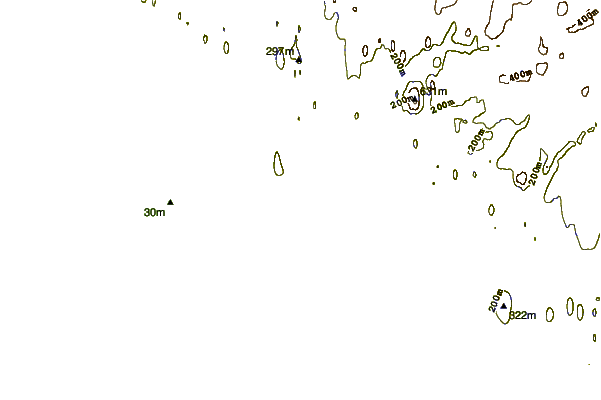
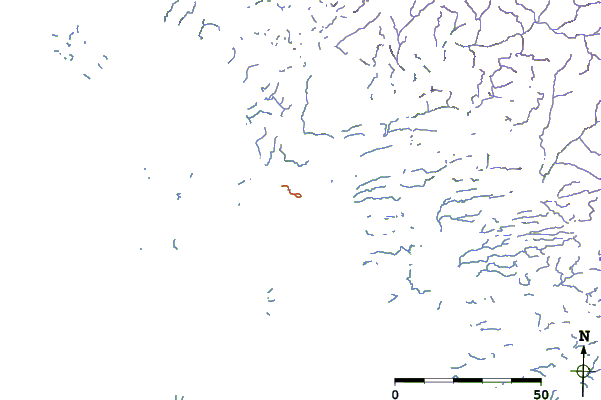
| Contours: | Roads & Rivers: | Select a
tide station / surf break / city |
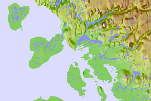
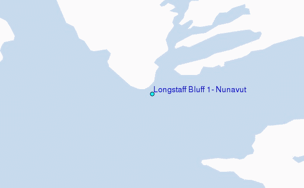
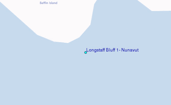
Use this relief map to navigate to tide stations, surf breaks and cities that are in the area of Longstaff Bluff #1, Nunavut.
Other Nearby Locations' tide tables and tide charts to Longstaff Bluff #1, Nunavut:
click location name for more details
 Surf breaks close to Longstaff Bluff #1, Nunavut:
|
||
|---|---|---|
| Closest surf break | Garur | 1438 mi |
| Second closest surf break | Hafnir | 1444 mi |
| Third closest surf break | Marathon | 1446 mi |
| Fourth closest surf break | Grotta | 1450 mi |
| Fifth closest surf break | Sandvik | 1450 mi |


 Nearest
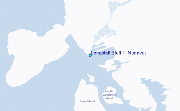