
| Distance / Altitude | Location | Report Date / Time | Live Weather | Wind | Gusts | Temp. | Visibility | Cloud |
|---|---|---|---|---|---|---|---|---|
| 12 km SW / 9 m | Attawapiskat Airport (Canada) | 2025-12-25 02:00 local (2025/12/25 07:00 GMT) | Clear | light winds from the WNW (17 km/h at 290) | -23°C | 14 | ||
| 217 km SSE / 9 m | Moosonee Airport (Ontario) | 2025-12-25 02:00 local (2025/12/25 07:00 GMT) | no report | light winds from the NW (15 km/h at 320) | -17°C | 0.0 | - - - | |
| 219 km SSE / 217 m | Moosonee Airport (Ontario) | 2025-12-25 02:37 local (2025/12/25 07:37 GMT) | Light snow | light winds from the NW (17 km/h at 310) | -18°C | 14 | overcast | |
| 287 km SW / 179 m | Ogoki Post Airport (Canada) | 2025-12-25 02:00 local (2025/12/25 07:00 GMT) | Clear | light winds from the WNW (11 km/h at 300) | -22°C | 14 | ||
| 307 km WNW / 11 m | Peawanuck (Aut)- Ont (Canada) | 2025-12-25 02:00 local (2025/12/25 07:00 GMT) | Clear | light winds from the W (15 km/h at 280) | -28°C | 14 | - - - | |
| 313 km ENE / 195 m | LAGrandeRiviere A- Que (Canada) | 2025-12-25 03:00 local (2025/12/25 08:00 GMT) | - | light winds from the W (9 km/h at 260) | — | 36 km | - overcast - | |
| 313 km ENE / 217 m | La Grande Rivier Airport (Quebec) | 2025-12-25 02:00 local (2025/12/25 07:00 GMT) | Light snow | light winds from the W (7 km/h at 280) | -19°C | 19 | scattered overcast | |
| 376 km S / 396 m | Kapuskasing CDA Airport (Ontario) | 2025-12-25 02:00 local (2025/12/25 07:00 GMT) | - | light winds from the NW (19 km/h at 320) | -15°C | 0.0 | ||
| 382 km S / 264 m | Nagagami (Aut)- Ont (Canada) | 2025-12-25 03:00 local (2025/12/25 08:00 GMT) | - | calm (4 km/h at 250) | — | - | - no observation - | |
| 382 km S / 698 m | Nagagami Airport (Ontario) | 2025-12-25 02:00 local (2025/12/25 07:00 GMT) | - | light winds from the NNW (13 km/h at 340) | -15°C | 0.0 | - - - |
| Contours: | Roads & Rivers: | Select a
tide station / surf break / city |
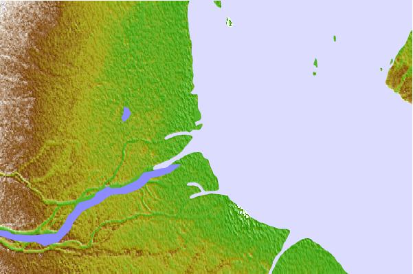

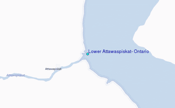
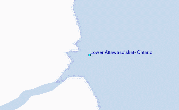
Use this relief map to navigate to tide stations, surf breaks and cities that are in the area of Lower Attawaspiskat, Ontario.
Other Nearby Locations' tide tables and tide charts to Lower Attawaspiskat, Ontario:
click location name for more details
 Surf breaks close to Lower Attawaspiskat, Ontario:
|
||
|---|---|---|
| Closest surf break | Marathon | 347 mi |
| Second closest surf break | Alona Bay | 416 mi |
| Third closest surf break | Keweenaw Peninsula | 462 mi |
| Fourth closest surf break | Au Sable Point | 468 mi |
| Fifth closest surf break | Grand Marias | 468 mi |


 Nearest
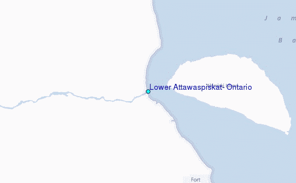