
| Distance / Altitude | Location | Report Date / Time | Live Weather | Wind | Gusts | Temp. | Visibility | Cloud |
|---|---|---|---|---|---|---|---|---|
| 34 km S / 34 m | Kouchibouguac Cs- NB (Canada) | 2026-07-26 08:00 local (2026/07/26 11:00 GMT) | - | light winds from the SSW (7 km/h at 210) | — | - | - | |
| 44 km SW / 31 m | Chatham (Canada) | 2026-07-26 08:00 local (2026/07/26 11:00 GMT) | - | calm (4 km/h at 150) | — | - | - | |
| 45 km WSW / 34 m | Miramichi Rcs- NB (Canada) | 2026-07-26 08:00 local (2026/07/26 11:00 GMT) | - | light winds from the SW (14 km/h at 230) | — | - | - | |
| 67 km E / 8 m | North Cape- Pei (Canada) | 2026-07-26 07:00 local (2026/07/26 10:00 GMT) | no report | fresh winds from the SW (36 km/h at 220) | 23°C | - | - - - | |
| 67 km WNW / 124 m | Red Pines- NB (Canada) | 2026-07-26 07:00 local (2026/07/26 10:00 GMT) | - | calm (4 km/h at 260) | — | - | - - - | |
| 67 km E / 217 m | North Point Airport (Prince Edward Islan) | 2026-07-26 07:00 local (2026/07/26 10:00 GMT) | - | light winds from the SSW (11 km/h at 210) | 18°C | 0.0 | ||
| 84 km SSE / 9 m | Cocagne Cape Marina (Canada) | 2026-07-26 08:00 local (2026/07/26 11:00 GMT) | - | light winds from the SW (9 km/h at 215) | 23°C | - | - - 0 | |
| 88 km WNW / 217 m | Bathurst Airport (New Brunswick) | 2026-07-26 07:00 local (2026/07/26 10:00 GMT) | Dry and partly cloudy | calm (4 km/h at 1) | 16°C | 14 | scattered broken broken | |
| 89 km WNW / 59 m | Bathurst Airport (Canada) | 2026-07-26 08:00 local (2026/07/26 11:00 GMT) | - | wind obs. (11 kph from 260 degs) was rejected (- km/h at -) | — | - | - - - | |
| 102 km SW / 44 m | Doaktown Auto Rcs- NB (Canada) | 2026-07-26 08:00 local (2026/07/26 11:00 GMT) | no report | light winds from the W (11 km/h at 260) | 25°C | - | - |
| Contours: | Roads & Rivers: | Select a
tide station / surf break / city |
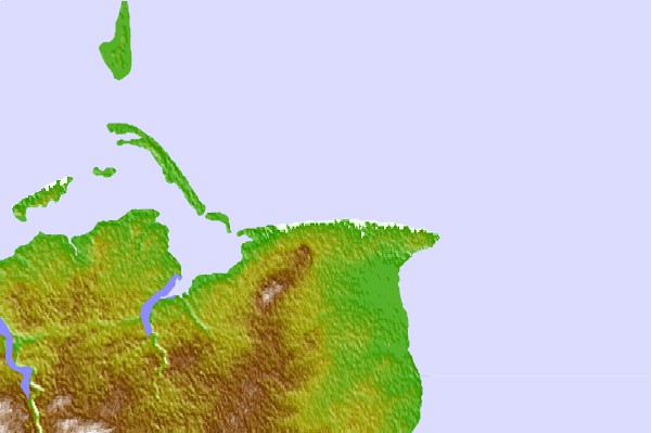
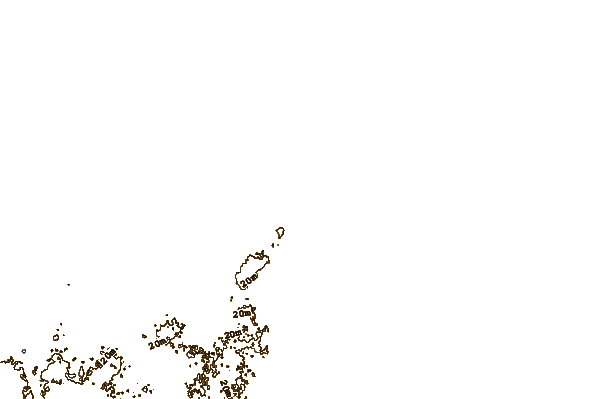
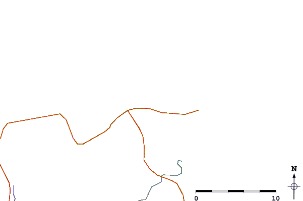
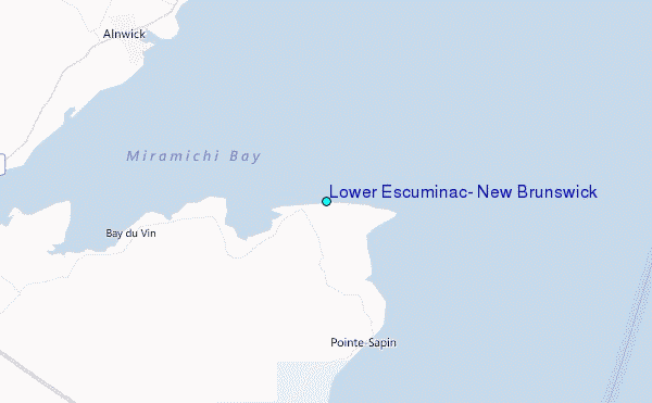
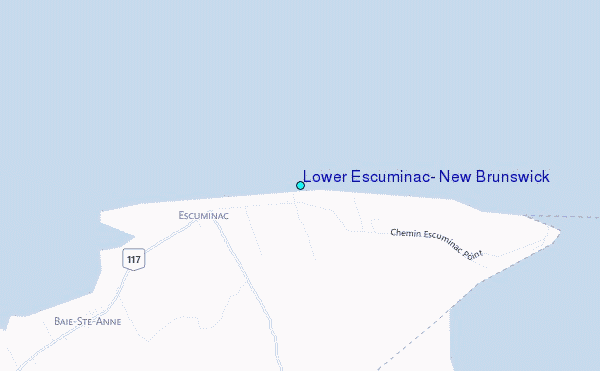
Use this relief map to navigate to tide stations, surf breaks and cities that are in the area of Lower Escuminac, New Brunswick.
Other Nearby Locations' tide tables and tide charts to Lower Escuminac, New Brunswick:
click location name for more details
 Surf breaks close to Lower Escuminac, New Brunswick:
|
||
|---|---|---|
| Closest surf break | Backyards | 184 mi |
| Second closest surf break | Lawrencetown Right Point | 184 mi |
| Third closest surf break | Minutes | 184 mi |
| Fourth closest surf break | Cow Bay | 185 mi |
| Fifth closest surf break | Lawrencetown Reef | 185 mi |


 Nearest
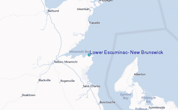