
| Distance / Altitude | Location | Report Date / Time | Live Weather | Wind | Gusts | Temp. | Visibility | Cloud |
|---|---|---|---|---|---|---|---|---|
| 260 km NW / 217 m | Frobisher/Iqaluit Airport (N.w. Territories) | 2025-12-25 15:00 local (2025/12/25 20:00 GMT) | - | wind obs. (7 kph from 180 degs) was rejected (- km/h at -) | -16°C | 24 | few few broken | |
| 260 km NW / 14 m | Iqaluit (Canada) | 2025-12-25 16:00 local (2025/12/25 21:00 GMT) | - | calm (4 km/h at 150) | — | - | - no observation - | |
| 431 km S / 123 m | Kuujjuaq- Ua- Que (Canada) | 2025-12-25 16:00 local (2025/12/25 21:00 GMT) | no report | light winds from the SSW (6 km/h at 210) | -24°C | 44 km | - mostly cloudy - | |
| 433 km S / 216 m | Kuujjuaq Airport (Quebec) | 2025-12-25 15:00 local (2025/12/25 20:00 GMT) | Dry and partly cloudy | light winds from the W (7 km/h at 260) | -23°C | 24 | broken | |
| 488 km N / 23 m | Pangnirtung-NU (Canada) | 2025-12-25 16:00 local (2025/12/25 21:00 GMT) | - | calm (4 km/h at 130) | — | - | - no observation - | |
| 489 km N / 322 m | Pangnirtung Airport (N.w. Territories) | 2025-12-25 15:00 local (2025/12/25 20:00 GMT) | - | wind obs. (17 kph from 140 degs) was rejected (- km/h at -) | — | 13 | few broken - | |
| 586 km SSW / 171 m | Riviere Aux Feuilles- Que (Canada) | 2025-12-25 16:00 local (2025/12/25 21:00 GMT) | - | wind obs. (40 kph from 260 degs) was rejected (- km/h at -) | — | - | - | |
| 605 km W / 217 m | Cape Dorset Airport (N.w. Territories) | 2025-12-25 15:00 local (2025/12/25 20:00 GMT) | - | light winds from the W (11 km/h at 260) | -21°C | 14 | ||
| 606 km W / 50 m | Cape Dorset Climate- NU (Canada) | 2025-12-25 16:00 local (2025/12/25 21:00 GMT) | - | moderate winds from the WSW (22 km/h at 250) | — | - | - - - | |
| 628 km SSE / 7 m | NainA-Nfld (Canada) | 2025-12-25 16:00 local (2025/12/25 21:00 GMT) | - | light winds from the WNW (17 km/h at 300) | — | 44 km | - clear - |
| Contours: | Roads & Rivers: | Select a
tide station / surf break / city |
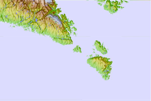
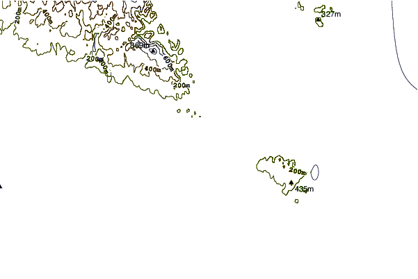
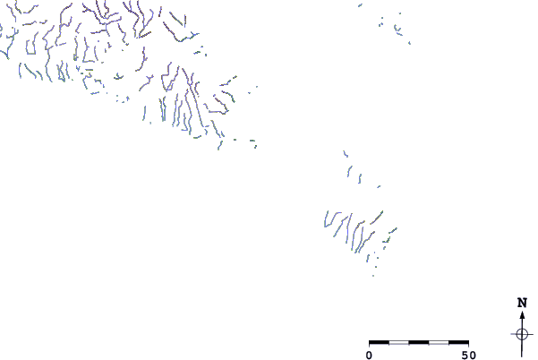
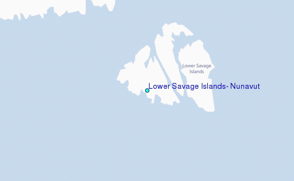
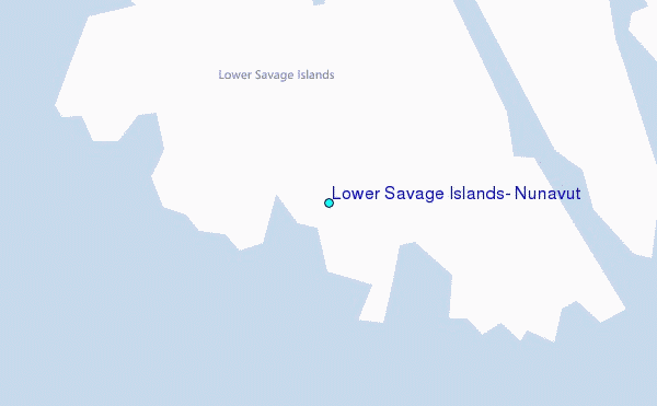
Use this relief map to navigate to tide stations, surf breaks and cities that are in the area of Lower Savage Islands, Nunavut.
Other Nearby Locations' tide tables and tide charts to Lower Savage Islands, Nunavut:
click location name for more details
 Surf breaks close to Lower Savage Islands, Nunavut:
|
||
|---|---|---|
| Closest surf break | Ingonish Beach | 1068 mi |
| Second closest surf break | Kennington Cove | 1122 mi |
| Third closest surf break | Michaud Point | 1139 mi |
| Fourth closest surf break | Martinique | 1186 mi |
| Fifth closest surf break | Lawrencetown Left Point | 1188 mi |


 Nearest
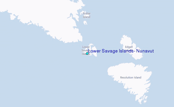