
| Distance / Altitude | Location | Report Date / Time | Live Weather | Wind | Gusts | Temp. | Visibility | Cloud |
|---|---|---|---|---|---|---|---|---|
| 4 km W / 148 m | Maatsuyker Island Lighthouse (Australia) | 2026-05-06 22:00 local (2026/05/06 12:00 GMT) | no report | wind obs. (9 kph from 30 degs) was rejected (- km/h at -) | 9°C | - | - | |
| 57 km WSW / 15 m | ASCATB146E44S (Marine) | 2026-05-06 22:12 local (2026/05/06 12:12 GMT) | fresh winds from the SW (34 km/h at 218) | — | - km | |||
| 63 km NE / 831 m | HartzMountains(Keoghs Pimple) (Australia) | 2026-05-07 00:00 local (2026/05/06 14:00 GMT) | Rain | moderate winds from the WSW (28 km/h at 240) | 0°C | - | - no observation - | |
| 63 km WSW / 15 m | ASCATC146E44S (Marine) | 2026-05-06 22:43 local (2026/05/06 12:43 GMT) | fresh winds from the SW (34 km/h at 221) | — | - km | |||
| 69 km N / 410 m | Scotts Peak Dam (Australia) | 2026-05-07 00:00 local (2026/05/06 14:00 GMT) | no report | fresh winds from the W (37 km/h at 260) | 4°C | - | - no observation - | |
| 70 km ENE / 60 m | Cape Bruny (Australia) | 2026-05-07 00:00 local (2026/05/06 14:00 GMT) | Patches of fog | strong winds from the W (41 km/h at 280) | 7°C | - | no observation | |
| 70 km ENE / 60 m | Cape Bruny (Australia) | 2026-05-07 00:00 local (2026/05/06 14:00 GMT) | Patches of fog | wind obs. (41 kph from 280 degs) was rejected (- km/h at -) | 7°C | - | - no observation - | |
| 74 km NNE / 495 m | Warra (Australia) | 2026-05-07 00:00 local (2026/05/06 14:00 GMT) | no report | wind obs. (7 kph from 200 degs) was rejected (- km/h at -) | 4°C | - | - | |
| 88 km E / 15 m | ASCATC147E44S (Marine) | 2026-05-06 22:43 local (2026/05/06 12:43 GMT) | moderate winds from the SW (24 km/h at 217) | — | - km | |||
| 95 km S / 15 m | ASCATB147E45S (Marine) | 2026-05-06 22:12 local (2026/05/06 12:12 GMT) | strong winds from the SW (39 km/h at 225) | — | - km |
| Contours: | Roads & Rivers: | Select a
tide station / surf break / city |
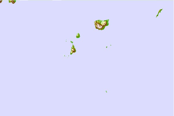
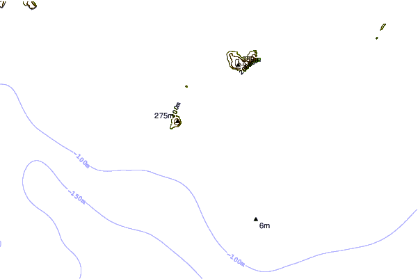
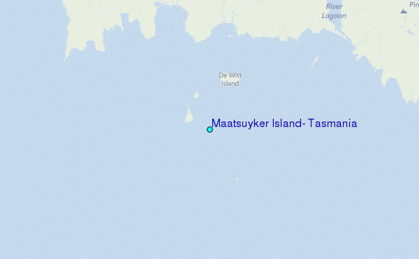
Use this relief map to navigate to tide stations, surf breaks and cities that are in the area of Maatsuyker Island, Tasmania.
Other Nearby Locations' tide tables and tide charts to Maatsuyker Island, Tasmania:
click location name for more details
 Surf breaks close to Maatsuyker Island, Tasmania:
|
||
|---|---|---|
| Closest surf break | Bruny Island - Lighthouse Bay | 43 mi |
| Second closest surf break | Bruny Island - Mabel Bay | 44 mi |
| Third closest surf break | Bruny Island - Jawbones | 47 mi |
| Fourth closest surf break | Bruny Island - Lagoons | 47 mi |
| Fifth closest surf break | Bruny Island - Cloudy Bay | 48 mi |


 Nearest
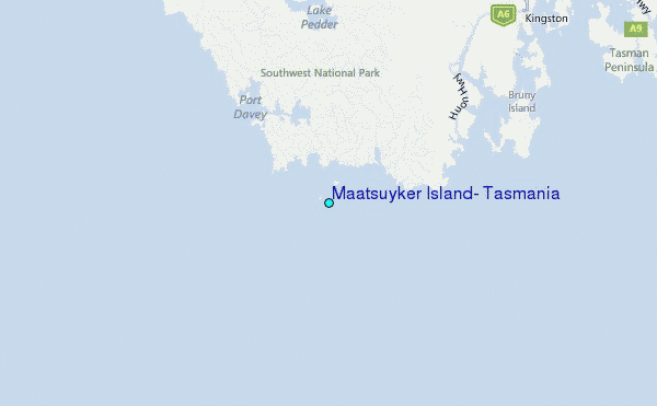