
| Distance / Altitude | Location | Report Date / Time | Live Weather | Wind | Gusts | Temp. | Visibility | Cloud |
|---|---|---|---|---|---|---|---|---|
| 116 km NE / 25 m | Mary Ann Bay (Australia) | 2026-06-22 15:00 local (2026/06/22 05:00 GMT) | - | light winds from the WNW (9 km/h at 298) | 13°C | - | - - 0 | |
| 132 km NE / 168 m | Winton (Australia) | 2026-06-22 15:00 local (2026/06/22 05:00 GMT) | - | strong winds from the WNW (39 km/h at 286) | 10°C | - | - - 0 | |
| 133 km NE / 213 m | Hobart Airport (Australia) | 2026-06-22 14:30 local (2026/06/22 04:30 GMT) | Dry and partly cloudy | moderate winds from the NW (20 km/h at 320) | 12°C | 10.0 | no cloud | |
| 159 km NNE / 601 m | Woodspring (Australia) | 2026-06-22 15:00 local (2026/06/22 05:00 GMT) | - | fresh winds from the W (33 km/h at 262) | 7°C | - | - - 0 | |
| 174 km NNE / 528 m | Lemon Hill (Australia) | 2026-06-22 15:00 local (2026/06/22 05:00 GMT) | - | light winds from the NE (13 km/h at 44) | 5°C | - | - - 0 | |
| 192 km NNE / 463 m | Gaffs Hill (Australia) | 2026-06-22 15:00 local (2026/06/22 05:00 GMT) | - | light winds from the WNW (17 km/h at 292) | — | - | - - 0 | |
| 249 km NNE / 216 m | Launceston Airport (Australia) | 2026-06-22 14:30 local (2026/06/22 04:30 GMT) | Dry and partly cloudy | moderate winds from the N (20 km/h at 350) | 11°C | 10.0 | no cloud | |
| 274 km N / 3 m | SHIP2690 (Marine) | 2026-06-22 13:00 local (2026/06/22 03:00 GMT) | - (- km/h at -) | 12°C | - | |||
| 274 km N / 15 m | SHIP4550 (Marine) | 2026-06-22 13:00 local (2026/06/22 03:00 GMT) | - (- km/h at -) | — | - km | |||
| 274 km N / 15 m | SHIP1584 (Marine) | 2026-06-22 14:00 local (2026/06/22 04:00 GMT) | - (- km/h at -) | — | - km |
| Contours: | Roads & Rivers: | Select a
tide station / surf break / city |
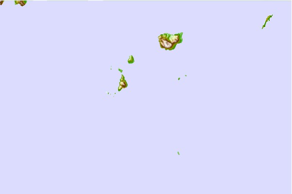
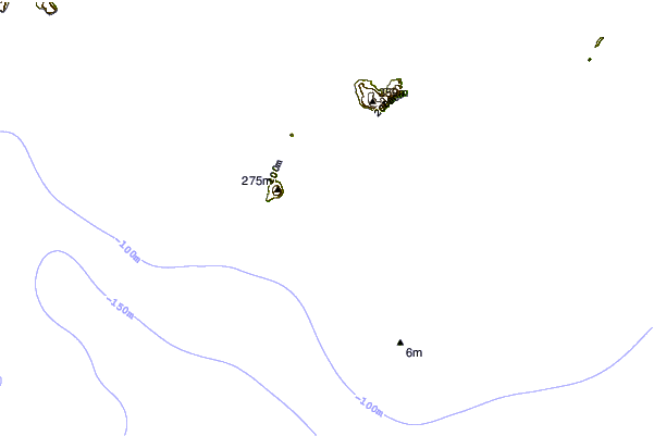
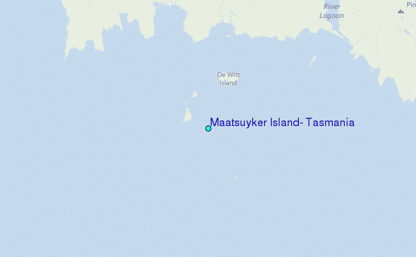
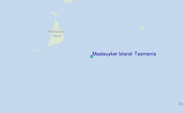
Use this relief map to navigate to tide stations, surf breaks and cities that are in the area of Maatsuyker Island, Tasmania.
Other Nearby Locations' tide tables and tide charts to Maatsuyker Island, Tasmania:
click location name for more details
 Surf breaks close to Maatsuyker Island, Tasmania:
|
||
|---|---|---|
| Closest surf break | Bruny Island - Lighthouse Bay | 43 mi |
| Second closest surf break | Bruny Island - Mabel Bay | 44 mi |
| Third closest surf break | Bruny Island - Jawbones | 47 mi |
| Fourth closest surf break | Bruny Island - Lagoons | 47 mi |
| Fifth closest surf break | Bruny Island - Cloudy Bay | 48 mi |


 Nearest
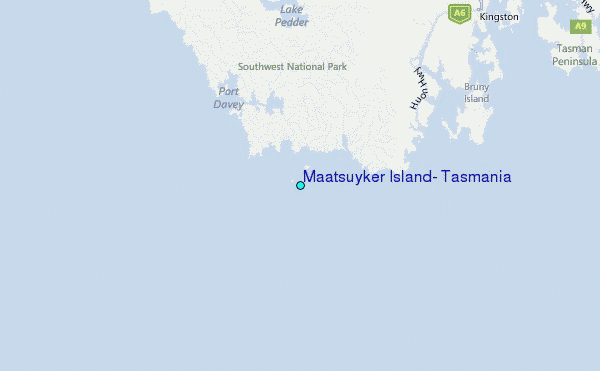