
| Distance / Altitude | Location | Report Date / Time | Live Weather | Wind | Gusts | Temp. | Visibility | Cloud |
|---|---|---|---|---|---|---|---|---|
| 13 km S / 108 m | Tokushima Airport (Japan) | 2025-12-25 18:00 local (2025/12/25 09:00 GMT) | Dry and partly cloudy | fresh winds from the NW (33 km/h at 310) | 12°C | 10.0 | few scattered broken | |
| 20 km S / 120 m | Tokushima (Japan) | 2025-12-25 19:00 local (2025/12/25 10:00 GMT) | Clear skies | moderate winds from the WNW (26 km/h at 300) | 11°C | 40 km | - no observation - | |
| 25 km ENE / 112 m | Sumoto (Japan) | 2025-12-25 19:00 local (2025/12/25 10:00 GMT) | Clear skies | strong winds from the W (41 km/h at 270) | 11°C | 40 km | - no observation - | |
| 26 km S / 40 m | Komatsujima Airport (Japan) | 2025-12-25 18:04 local (2025/12/25 09:04 GMT) | Dry and partly cloudy | fresh winds from the NW (37 km/h at 310) | 12°C | 10.0 | few scattered broken | |
| 30 km NE / 52 m | Kisokami wx (Japan) | 2025-12-25 18:31 local (2025/12/25 09:31 GMT) | dry | light winds from the NW (10 km/h at 310) | 11°C | - | - - 0 | |
| 47 km E / 18 m | Wakayama (Japan) | 2025-12-25 19:00 local (2025/12/25 10:00 GMT) | Clear skies | fresh winds from the WNW (37 km/h at 300) | 12°C | 40 km | - no observation - | |
| 48 km W / 24 m | Murechō-ōmachi wx (Japan) | 2025-12-25 18:17 local (2025/12/25 09:17 GMT) | - | calm (0 km/h at 0) | 14°C | - | - - 0 | |
| 56 km WSW / 239 m | Takamatsu (Japan) | 2025-12-25 19:00 local (2025/12/25 10:00 GMT) | - | moderate winds from the WNW (22 km/h at 290) | 10°C | 40 km | no observation | |
| 58 km WSW / 446 m | Takamatsu Airport (Japan) | 2025-12-25 18:00 local (2025/12/25 09:00 GMT) | Dry and partly cloudy | moderate winds from the WNW (26 km/h at 290) | 8°C | 10.0 | few scattered | |
| 59 km ENE / 218 m | Kansai International Airport (Japan) | 2025-12-25 18:30 local (2025/12/25 09:30 GMT) | Dry and partly cloudy | strong winds from the WNW (43 km/h at 290) | 13°C | 10.0 | few scattered broken |
| Contours: | Roads & Rivers: | Select a
tide station / surf break / city |
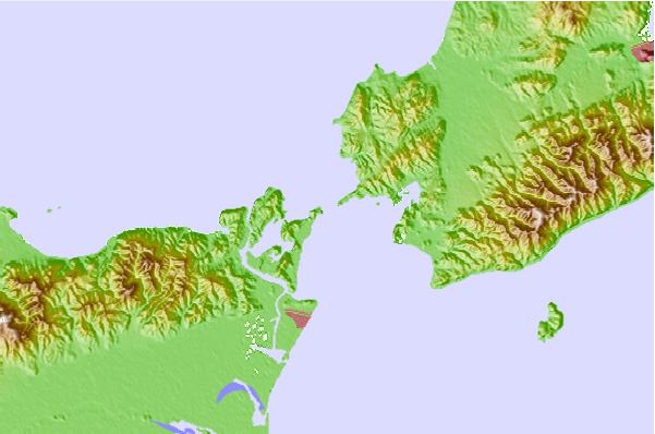
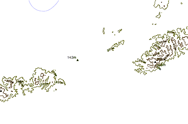
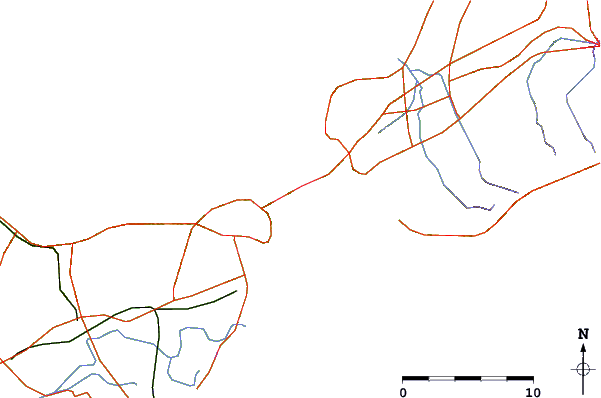
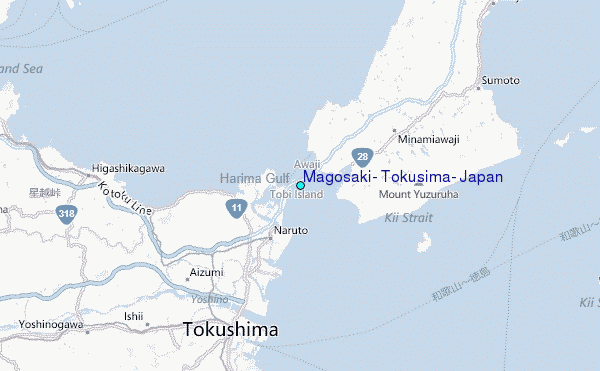
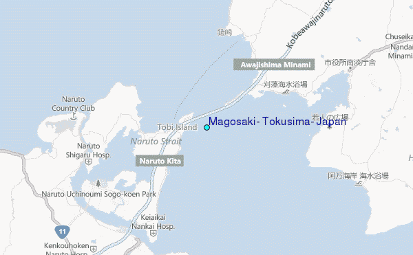
Use this relief map to navigate to tide stations, surf breaks and cities that are in the area of Magosaki, Tokusima, Japan.
Other Nearby Locations' tide tables and tide charts to Magosaki, Tokusima, Japan:
click location name for more details
 Surf breaks close to Magosaki, Tokusima, Japan:
|
||
|---|---|---|
| Closest surf break | Gomoda | 29 mi |
| Second closest surf break | Nunoshima | 33 mi |
| Third closest surf break | Tainohama | 34 mi |
| Fourth closest surf break | Hashikui Bay | 35 mi |
| Fifth closest surf break | Teba Shima | 44 mi |


 Nearest
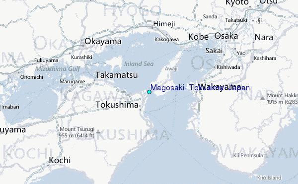