
| Distance / Altitude | Location | Report Date / Time | Live Weather | Wind | Gusts | Temp. | Visibility | Cloud |
|---|---|---|---|---|---|---|---|---|
| 130 km SW / 212 m | Hopedale Airport (Newfoundland) | 2025-12-25 03:30 local (2025/12/25 07:00 GMT) | - | strong winds from the S (46 km/h at 180) | -19°C | 0.0 | ||
| 130 km SW / 10 m | Hopedale (Aut)- Nfld (Canada) | 2025-12-25 04:30 local (2025/12/25 08:00 GMT) | - | - (- km/h at 320) | — | - | - | |
| 153 km WNW / 3 m | SHIP7549 (Marine) | 2025-12-25 02:30 local (2025/12/25 06:00 GMT) | fresh winds from the SSW (37 km/h at 210) | -12°C | - | |||
| 154 km WNW / 3 m | SHIP2308 (Marine) | 2025-12-25 02:30 local (2025/12/25 06:00 GMT) | fresh winds from the SSW (37 km/h at 210) | -12°C | - | |||
| 154 km WNW / 3 m | SHIP8531 (Marine) | 2025-12-25 02:30 local (2025/12/25 06:00 GMT) | fresh winds from the SSW (37 km/h at 210) | -12°C | - | |||
| 154 km WNW / 15 m | SHIP6046 (Marine) | 2025-12-25 02:30 local (2025/12/25 06:00 GMT) | fresh winds from the SSW (37.080000000000005 km/h at 210) | — | - km | |||
| 154 km WNW / 15 m | SHIP9336 (Marine) | 2025-12-25 02:30 local (2025/12/25 06:00 GMT) | fresh winds from the SSW (37.080000000000005 km/h at 210) | — | - km | |||
| 154 km WNW / 3 m | SHIP5601 (Marine) | 2025-12-25 02:30 local (2025/12/25 06:00 GMT) | fresh winds from the SSW (37 km/h at 210) | -12°C | - | |||
| 154 km WNW / 15 m | SHIP2950 (Marine) | 2025-12-25 02:30 local (2025/12/25 06:00 GMT) | fresh winds from the SSW (37.080000000000005 km/h at 210) | — | - km | |||
| 154 km WNW / 3 m | SHIP1635 (Marine) | 2025-12-25 02:30 local (2025/12/25 06:00 GMT) | fresh winds from the SSW (37 km/h at 210) | -12°C | - |
| Contours: | Roads & Rivers: | Select a
tide station / surf break / city |

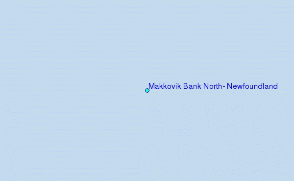
Use this relief map to navigate to tide stations, surf breaks and cities that are in the area of Makkovik Bank North, Newfoundland.
Other Nearby Locations' tide tables and tide charts to Makkovik Bank North, Newfoundland:
click location name for more details
 Surf breaks close to Makkovik Bank North, Newfoundland:
|
||
|---|---|---|
| Closest surf break | Ingonish Beach | 635 mi |
| Second closest surf break | Kennington Cove | 685 mi |
| Third closest surf break | Michaud Point | 710 mi |
| Fourth closest surf break | Martinique | 793 mi |
| Fifth closest surf break | Lawrencetown Left Point | 798 mi |


 Nearest
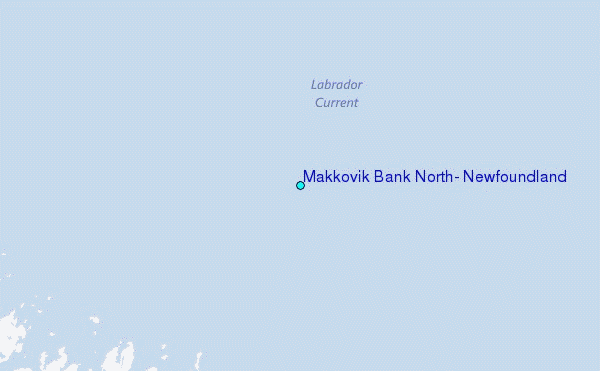