
| Distance / Altitude | Location | Report Date / Time | Live Weather | Wind | Gusts | Temp. | Visibility | Cloud |
|---|---|---|---|---|---|---|---|---|
| 26 km N / 606 m | Gerona/Costa Brava Airport (Spain) | 2026-04-02 05:30 local (2026/04/02 03:30 GMT) | - | light winds from the N.(Wind varies from 270 to 070 degs) (6 km/h at 350) | 7°C | 10.0 | few | |
| 29 km N / 129 m | Girona/Costa Brava (Spain) | 2026-04-02 05:00 local (2026/04/02 03:00 GMT) | - | calm (4 km/h at 360) | — | - | - | |
| 55 km SW / 326 m | Sabadell Airport (Spain) | 2026-04-02 05:30 local (2026/04/02 03:30 GMT) | Dry and cloudy | wind obs. (6 kph from 320 degs) was rejected (- km/h at -) | 9°C | 10.0 | overcast | |
| 56 km SW / 178 m | Barcelona City (Spain) | 2026-04-02 05:00 local (2026/04/02 03:00 GMT) | - | calm (4 km/h at 210) | — | - | - | |
| 57 km SW / 280 m | Barcelona (Spain) | 2026-04-02 06:02 local (2026/04/02 04:02 GMT) | dry | calm (0 km/h at 286) | 8°C | - | - - 0 | |
| 59 km SW / 64 m | Camp Nou wx (Spain) | 2026-04-02 06:03 local (2026/04/02 04:03 GMT) | - | calm (0 km/h at 16) | 11°C | - | - - 0 | |
| 61 km WSW / 1092 m | San Lorenzo (Spain) | 2026-04-02 05:00 local (2026/04/02 03:00 GMT) | - | calm (4 km/h at 280) | — | - | - | |
| 68 km SSW / 9 m | El Mas Blau wx (Spain) | 2026-04-02 06:27 local (2026/04/02 04:27 GMT) | - | calm (5 km/h at 80) | 12°C | - | - - 0 | |
| 68 km SSW / 5 m | Barcelona/Aeropuerto (Spain) | 2026-04-02 05:00 local (2026/04/02 03:00 GMT) | - | wind obs. (20 kph from 80 degs) was rejected (- km/h at -) | — | 24 | - - - | |
| 70 km SSW / 216 m | Barcelona Airport (Spain) | 2026-04-02 05:30 local (2026/04/02 03:30 GMT) | Dry and partly cloudy | light winds from the WNW (7 km/h at 290) | 11°C | 10.0 | scattered scattered broken |
| Contours: | Roads & Rivers: | Select a
tide station / surf break / city |
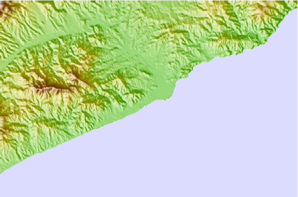
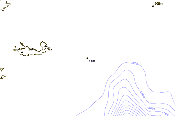
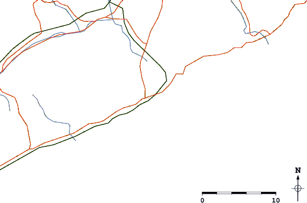
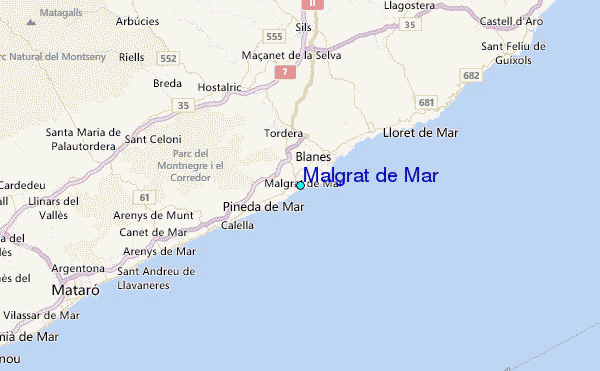
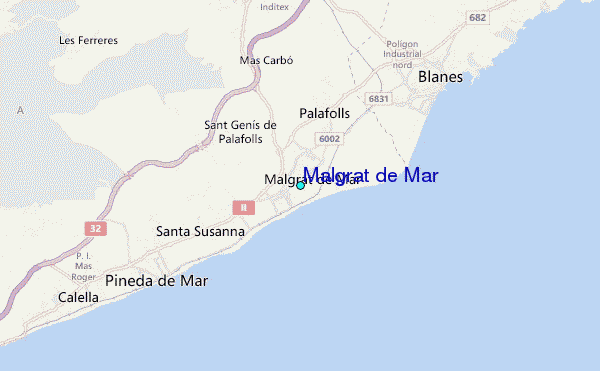
Use this relief map to navigate to tide stations, surf breaks and cities that are in the area of Malgrat de Mar.
Other Nearby Locations' tide tables and tide charts to Malgrat de Mar:
click location name for more details
 Surf breaks close to Malgrat de Mar:
|
||
|---|---|---|
| Closest surf break | Desembocadura del Tordera | 2 mi |
| Second closest surf break | Cala de Santa Cristina | 3 mi |
| Third closest surf break | Sant Pol de Mar | 7 mi |
| Fourth closest surf break | Saint Andreu de Llavaneres | 14 mi |
| Fifth closest surf break | Port de Mataro | 17 mi |


 Nearest
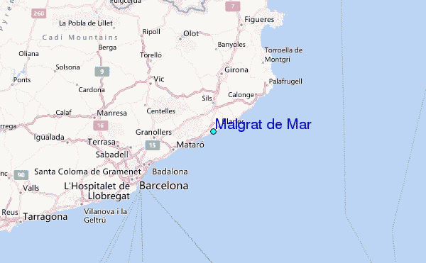