
| Distance / Altitude | Location | Report Date / Time | Live Weather | Wind | Gusts | Temp. | Visibility | Cloud |
|---|---|---|---|---|---|---|---|---|
| 2 km NW / 119 m | Minamitorishima Airfield (Japan) | 2025-12-23 12:00 local (2025/12/23 03:00 GMT) | - | light winds from the E (9 km/h at 80) | 24°C | - | no observation | |
| 1044 km WSW / 219 m | Cheung Chau ( 長洲) (Peoples Republic Of China) | 2025-12-23 12:00 local (2025/12/23 03:00 GMT) | - | light winds from the NNE (11 km/h at 20) | 19°C | - | no observation | |
| 1222 km W / 8 m | Chichijima (Japan) | 2025-12-23 11:00 local (2025/12/23 02:00 GMT) | - | fresh winds from the NE (30 km/h at 50) | 21°C | 34 km | no observation | |
| 1283 km WSW / 517 m | Iwojima Airport (Japan) | 2025-12-23 11:00 local (2025/12/23 02:00 GMT) | Dry and partly cloudy | fresh winds from the NE (31 km/h at 50) | 22°C | 10.0 | scattered broken broken | |
| 1332 km SSW / 218 m | Saipan International Airport (Micronesia) | 2025-12-23 10:54 local (2025/12/23 01:54 GMT) | Dry and partly cloudy | fresh winds from the E (33 km/h at 100) | 31°C | 16 | scattered scattered broken | |
| 1351 km SSW / 449 m | Peipeinimaru Airport (Guam) | 2025-12-23 10:55 local (2025/12/23 01:55 GMT) | Dry and partly cloudy | moderate winds from the E (22 km/h at 80) | 29°C | 11 | scattered scattered broken | |
| 1420 km ESE / 3 m | BUOY-WAKP8 (Marine) | 2025-12-23 11:48 local (2025/12/23 02:48 GMT) | moderate winds from the NW (24 km/h at 320) | — | - | |||
| 1423 km ESE / 194 m | Wake Island Airfield Airport (Wake Island) | 2025-12-23 10:55 local (2025/12/23 01:55 GMT) | Dry and partly cloudy | fresh winds from the NNW (35 km/h at 330) | 25°C | 16 | few scattered broken | |
| 1445 km SSW / 472 m | Rota International Airport (Micronesia) | 2025-12-23 10:50 local (2025/12/23 01:50 GMT) | Light rain | light winds from the E (13 km/h at 100) | 26°C | 10 | broken overcast | |
| 1513 km SSW / 0 m | lightning 128km NW of Agana (Guam) | 2025-12-23 10:48 local (2025/12/23 01:48 GMT) | Thunderstorm | (- km/h at -) | — |
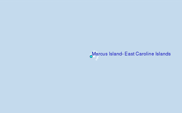
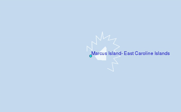
Choose Marcus Island, East Caroline Islands Location Map Zoom:
| Contours: | Roads & Rivers: | Select a
tide station / surf break / city |


Use this relief map to navigate to tide stations, surf breaks and cities that are in the area of Marcus Island, East Caroline Islands.
Other Nearby Locations' tide tables and tide charts to Marcus Island, East Caroline Islands:
click location name for more details
 Surf breaks close to Marcus Island, East Caroline Islands:
|
||
|---|---|---|
| Closest surf break | Bird Island | 817 mi |
| Second closest surf break | Tank Beach | 819 mi |
| Third closest surf break | Ricks Reef | 958 mi |
| Fourth closest surf break | Boat Basin Lefts | 959 mi |
| Fifth closest surf break | Boat Basin Rights | 959 mi |


 Nearest