
| Distance / Altitude | Location | Report Date / Time | Live Weather | Wind | Gusts | Temp. | Visibility | Cloud |
|---|---|---|---|---|---|---|---|---|
| 31 km WSW / 240 m | Wajima (Japan) | 2024-07-27 10:00 local (2024/07/27 01:00 GMT) | - | moderate winds from the SW (26 km/h at 220) | 33°C | 40 km | - no observation - | |
| 61 km S / 3 m | Fushiki- FTP (Marine) | 2024-07-27 10:02 local (2024/07/27 01:02 GMT) | - (- km/h at -) | — | - | |||
| 64 km S / 3 m | Toyama- FTP (Marine) | 2024-07-27 10:02 local (2024/07/27 01:02 GMT) | - (- km/h at -) | — | - | |||
| 72 km S / 17 m | Toyama (Japan) | 2024-07-27 10:00 local (2024/07/27 01:00 GMT) | - | light winds from the W (11 km/h at 270) | 35°C | 40 km | - no observation - | |
| 77 km S / 17 m | Hagiwara wx (Japan) | 2024-07-27 10:31 local (2024/07/27 01:31 GMT) | dry | calm (5 km/h at 63) | 38°C | - | - - 0 | |
| 78 km S / 27 m | Toidemachi wx (Japan) | 2024-07-27 10:11 local (2024/07/27 01:11 GMT) | dry | calm (5 km/h at 237) | 37°C | - | - - 0 | |
| 80 km S / 474 m | Toyama Airport (Japan) | 2024-07-27 09:00 local (2024/07/27 00:00 GMT) | Dry and partly cloudy | calm (4 km/h at 1) | 33°C | 10.0 | few broken | |
| 84 km S / 69 m | Sasazu wx (Japan) | 2024-07-27 10:46 local (2024/07/27 01:46 GMT) | dry | calm (2 km/h at 87) | 35°C | - | - - 0 | |
| 91 km S / 65 m | Nanto-shi wx (Japan) | 2024-07-27 10:25 local (2024/07/27 01:25 GMT) | dry | wind obs. (10 kph from 0 degs) was rejected (- km/h at -) | 34°C | - | - - 0 | |
| 93 km ESE / 18 m | Takada (Japan) | 2024-07-27 10:00 local (2024/07/27 01:00 GMT) | - | light winds from the N (6 km/h at 360) | 33°C | 40 km | - no observation - |
| Contours: | Roads & Rivers: | Select a
tide station / surf break / city |
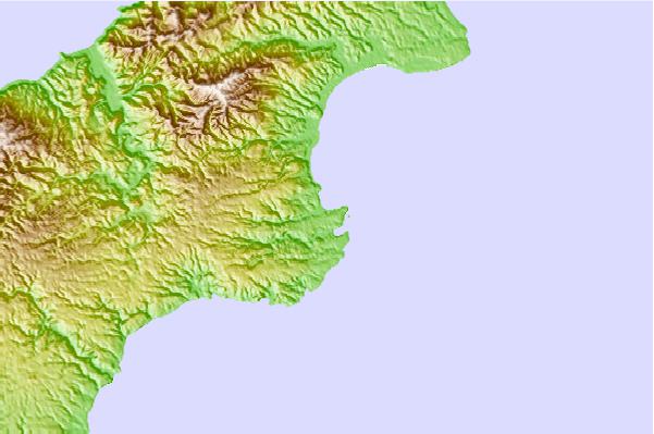
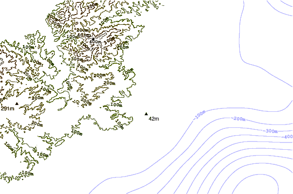
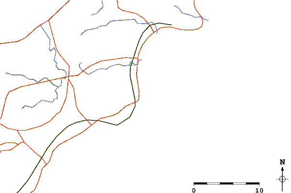
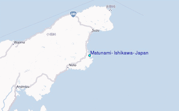
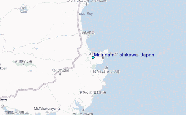
Use this relief map to navigate to tide stations, surf breaks and cities that are in the area of Matunami, Ishikawa, Japan.
Other Nearby Locations' tide tables and tide charts to Matunami, Ishikawa, Japan:
click location name for more details
 Surf breaks close to Matunami, Ishikawa, Japan:
|
||
|---|---|---|
| Closest surf break | Sakawa River | 180 mi |
| Second closest surf break | Hanamizu River | 181 mi |
| Third closest surf break | Oiso Jetty | 181 mi |
| Fourth closest surf break | Sagami River | 183 mi |
| Fifth closest surf break | Chigasaki Jetty | 185 mi |

 Nearest
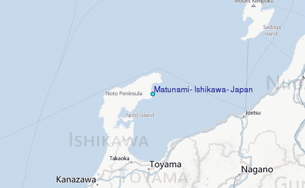