
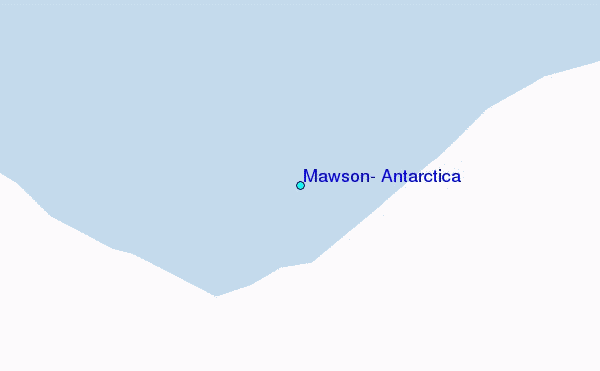
| Distance / Altitude | Location | Report Date / Time | Live Weather | Wind | Gusts | Temp. | Visibility | Cloud |
|---|---|---|---|---|---|---|---|---|
| 0 km SW / 16 m | Mawson (Antarctica) | 2026-05-08 02:00 local (2026/05/07 21:00 GMT) | - | fresh winds from the SSW (35 km/h at 200) | -22°C | - | no observation | |
| 453 km N / 15 m | ASCATC64E64S (Marine) | 2026-05-08 00:02 local (2026/05/07 19:02 GMT) | moderate winds from the S (21 km/h at 185) | — | - km | |||
| 457 km N / 15 m | ASCATC63E64S (Marine) | 2026-05-08 00:02 local (2026/05/07 19:02 GMT) | moderate winds from the S (22 km/h at 177) | — | - km | |||
| 464 km NNE / 15 m | ASCATC65E64S (Marine) | 2026-05-08 00:02 local (2026/05/07 19:02 GMT) | light winds from the SSW (18 km/h at 213) | — | - km | |||
| 473 km NNE / 15 m | ASCATC66E64S (Marine) | 2026-05-08 00:02 local (2026/05/07 19:02 GMT) | moderate winds from the SW (23 km/h at 219) | — | - km | |||
| 484 km NNE / 15 m | ASCATC67E64S (Marine) | 2026-05-08 00:02 local (2026/05/07 19:02 GMT) | fresh winds from the ENE (31 km/h at 77) | — | - km | |||
| 553 km NE / 15 m | ASCATC70E64S (Marine) | 2026-05-08 00:01 local (2026/05/07 19:01 GMT) | strong winds from the SSE (42 km/h at 155) | — | - km | |||
| 564 km N / 15 m | ASCATC64E63S (Marine) | 2026-05-08 00:02 local (2026/05/07 19:02 GMT) | moderate winds from the SSE (22 km/h at 154) | — | - km | |||
| 567 km N / 15 m | ASCATC63E63S (Marine) | 2026-05-08 00:02 local (2026/05/07 19:02 GMT) | moderate winds from the SE (25 km/h at 135) | — | - km | |||
| 567 km N / 15 m | ASCATC62E63S (Marine) | 2026-05-08 00:02 local (2026/05/07 19:02 GMT) | moderate winds from the SE (28 km/h at 134) | — | - km |
| Contours: | Roads & Rivers: | Select a
tide station / surf break / city |
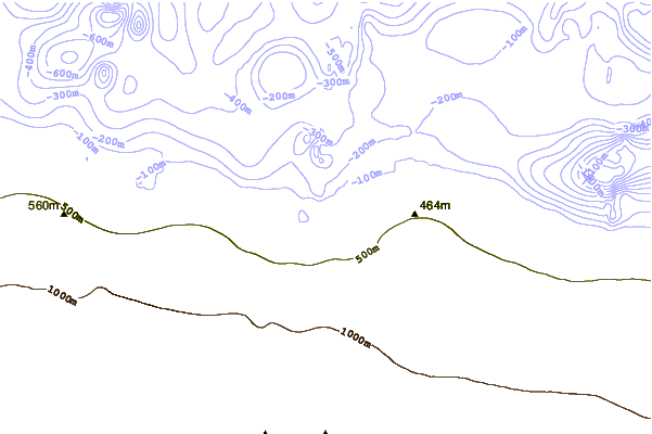
Use this relief map to navigate to tide stations, surf breaks and cities that are in the area of Mawson, Antarctica.
Other Nearby Locations' tide tables and tide charts to Mawson, Antarctica:
click location name for more details
 Surf breaks close to Mawson, Antarctica:
|
||
|---|---|---|
| Closest surf break | Noncom (Cape Recife) | 2754 mi |
| Second closest surf break | Noordhoek | 2754 mi |
| Third closest surf break | Loch Ness (Noordhoek) | 2755 mi |
| Fourth closest surf break | Sea Vista | 2755 mi |
| Fifth closest surf break | Flat Rocks (Port Elizabeth) | 2756 mi |


 Nearest
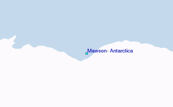