
| Distance / Altitude | Location | Report Date / Time | Live Weather | Wind | Gusts | Temp. | Visibility | Cloud |
|---|---|---|---|---|---|---|---|---|
| 179 km WSW / 30 m | Resolute CS Airport (Nunavut) | 2025-12-30 21:00 local (2025/12/31 02:00 GMT) | - | light winds from the WNW (7 km/h at 290) | — | 0.0 | - - - | |
| 179 km WSW / 216 m | Resolute Airport (N.w. Territories) | 2025-12-30 20:00 local (2025/12/31 01:00 GMT) | Ice crystals | light winds from the N (6 km/h at 360) | — | 32 | ||
| 179 km WSW / 30 m | Resolute (Canada) | 2025-12-30 21:00 local (2025/12/31 02:00 GMT) | - | wind obs. (7 kph from 270 degs) was rejected (- km/h at -) | — | 0.0 | - - - | |
| 223 km SE / 2 m | Arctic Bay Airport (N.w. Territories) | 2025-12-30 20:00 local (2025/12/31 01:00 GMT) | - | calm (4 km/h at 130) | -32°C | 0.0 | ||
| 224 km SE / 10 m | Arctic Bay Cs- NU (Canada) | 2025-12-30 21:00 local (2025/12/31 02:00 GMT) | - | wind obs. (14 kph from 320 degs) was rejected (- km/h at -) | — | - | - no observation - | |
| 256 km NE / 44 m | Grise Fiord Climate- NU (Canada) | 2025-12-30 21:00 local (2025/12/31 02:00 GMT) | - | calm (4 km/h at 130) | — | - | - | |
| 342 km S / 10 m | Fort Ross- NU (Canada) | 2025-12-30 21:00 local (2025/12/31 02:00 GMT) | - | light winds from the NW (18 km/h at 320) | — | - | - - - | |
| 408 km ESE / 55 m | Pond Inlet Climate- NU (Canada) | 2025-12-30 21:00 local (2025/12/31 02:00 GMT) | - | wind obs. (7 kph from 250 degs) was rejected (- km/h at -) | — | - | - | |
| 408 km ESE / 62 m | Pond Inlet A- NU (Canada) | 2025-12-30 19:00 local (2025/12/31 00:00 GMT) | - | wind obs. (7 kph from 230 degs) was rejected (- km/h at -) | — | - | - | |
| 409 km ESE / 217 m | Pond Inlet Airport (N.w. Territories) | 2025-12-30 20:00 local (2025/12/31 01:00 GMT) | - | calm (0 km/h at 0) | -33°C | 14 | few |
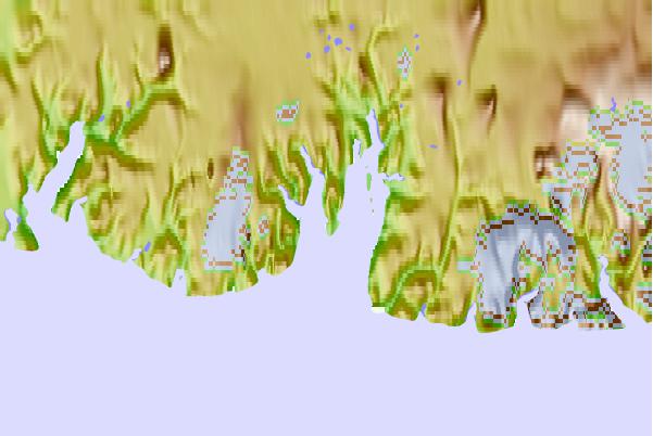
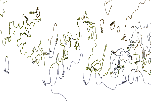
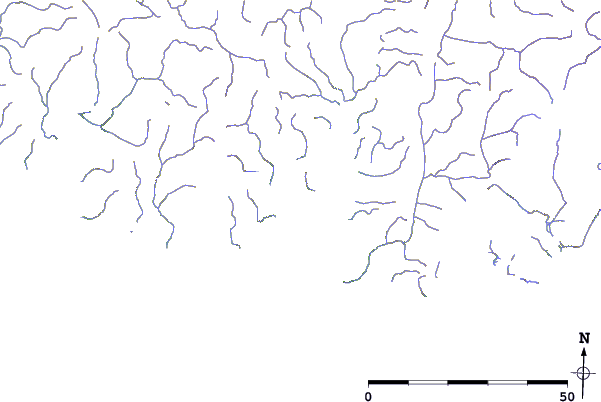
| Contours: | Roads & Rivers: | Select a
tide station / surf break / city |
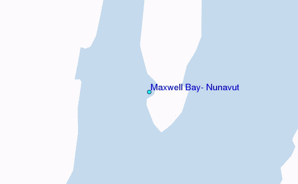
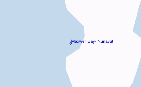
Use this relief map to navigate to tide stations, surf breaks and cities that are in the area of Maxwell Bay, Nunavut.
Other Nearby Locations' tide tables and tide charts to Maxwell Bay, Nunavut:
click location name for more details
 Surf breaks close to Maxwell Bay, Nunavut:
|
||
|---|---|---|
| Closest surf break | Graveyards | 1643 mi |
| Second closest surf break | Ocean Cape | 1644 mi |
| Third closest surf break | Cannon Beach | 1644 mi |
| Fourth closest surf break | Eyvik | 1649 mi |
| Fifth closest surf break | Garur | 1663 mi |


 Nearest
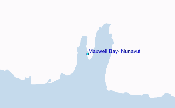