
| Distance / Altitude | Location | Report Date / Time | Live Weather | Wind | Gusts | Temp. | Visibility | Cloud |
|---|---|---|---|---|---|---|---|---|
| 53 km WSW / 32 m | Aulavik National Park- Nwt (Canada) | 2025-12-24 03:00 local (2025/12/24 10:00 GMT) | - | moderate winds from the W (22 km/h at 270) | — | - | - | |
| 107 km S / 42 m | Thomsen River- Nwt (Canada) | 2025-12-24 03:00 local (2025/12/24 10:00 GMT) | - | moderate winds from the W (25 km/h at 260) | — | - | - - - | |
| 239 km N / 2 m | Mould Bay Cs- Nwt (Canada) | 2025-12-24 03:00 local (2025/12/24 10:00 GMT) | - | light winds from the NW (14 km/h at 320) | — | - | - no observation - | |
| 328 km SSW / 88 m | Sachs Harbour Climate- Nwt (Canada) | 2025-12-24 02:00 local (2025/12/24 09:00 GMT) | - | - (- km/h at -) | — | - | - | |
| 375 km S / 30 m | HolmanCs-Nwt (Canada) | 2025-12-24 03:00 local (2025/12/24 10:00 GMT) | - | light winds from the NW (11 km/h at 310) | — | - | - no observation - | |
| 393 km ENE / 15 m | ReaPoint-NU (Canada) | 2025-12-24 03:00 local (2025/12/24 10:00 GMT) | - | light winds from the NNW (14 km/h at 340) | — | - | - no observation - | |
| 393 km ENE / 12 m | Rae Point (Nunavut) | 2025-12-24 02:00 local (2025/12/24 09:00 GMT) | - | moderate winds from the NW (22 km/h at 310) | -21°C | 0.0 | ||
| 401 km E / 11 m | Stefansson Island- NU (Canada) | 2025-12-24 03:00 local (2025/12/24 10:00 GMT) | no report | wind obs. (18 kph from 230 degs) was rejected (- km/h at -) | — | - | - | |
| 402 km E / 11 m | Stefansson Island Airport (Nunavut) | 2025-12-24 02:00 local (2025/12/24 09:00 GMT) | - | wind obs. (57 kph from 0 degs) was rejected (- km/h at -) | -20°C | 0.0 | ||
| 567 km S / 616 m | Tuktut Nogait Airport (N.w. Territories) | 2025-12-24 02:00 local (2025/12/24 09:00 GMT) | - | moderate winds from the WSW (24 km/h at 250) | -23°C | 0.0 |
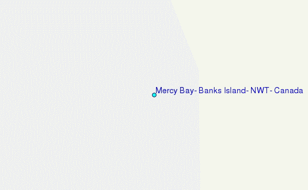
Choose Mercy Bay, Banks Island, NWT, Canada Location Map Zoom:
| Contours: | Roads & Rivers: | Select a
tide station / surf break / city |
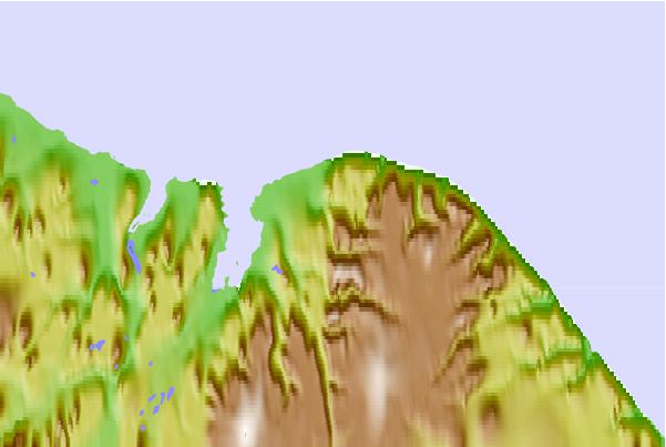
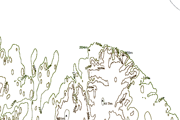
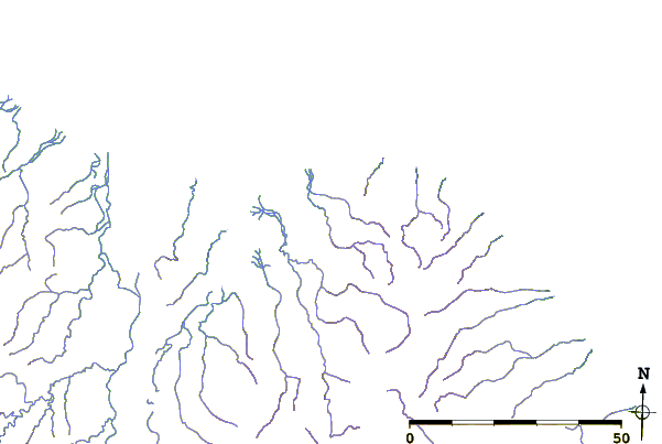
Use this relief map to navigate to tide stations, surf breaks and cities that are in the area of Mercy Bay, Banks Island, NWT, Canada.
Other Nearby Locations' tide tables and tide charts to Mercy Bay, Banks Island, NWT, Canada:
click location name for more details
 Surf breaks close to Mercy Bay, Banks Island, NWT, Canada:
|
||
|---|---|---|
| Closest surf break | Graveyards | 1150 mi |
| Second closest surf break | Ocean Cape | 1152 mi |
| Third closest surf break | Cannon Beach | 1153 mi |
| Fourth closest surf break | Bird Point (Tidal Bore) | 1246 mi |
| Fifth closest surf break | Tow Hill Beach | 1436 mi |


 Nearest
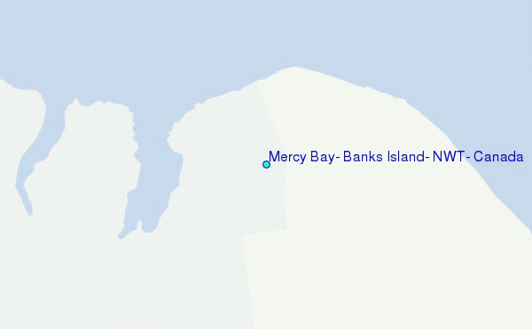