
| Distance / Altitude | Location | Report Date / Time | Live Weather | Wind | Gusts | Temp. | Visibility | Cloud |
|---|---|---|---|---|---|---|---|---|
| 63 km SE / 43 m | Bella Bella- BC (Canada) | 2025-12-25 13:00 local (2025/12/25 21:00 GMT) | no report | calm (4 km/h at 250) | 7°C | - | - | |
| 64 km SE / 43 m | Bella Bella Airport (British columbia) | 2025-12-25 12:00 local (2025/12/25 20:00 GMT) | Dry and cloudy | calm (0 km/h at 0) | 0°C | 14 | overcast | |
| 73 km SW / 3 m | South Hecate Strait Buoy (Marine) | 2025-12-25 13:00 local (2025/12/25 21:00 GMT) | light winds from the NNE (18 km/h at 30) | 5°C | - | |||
| 91 km WSW / - m | SHIP1128 (ocean) | 2025-12-25 13:00 local (2025/12/25 21:00 GMT) | - | light winds from the NNE (18 km/h at 30) | 5°C | - | no observation | |
| 100 km ESE / 26 m | Cathedral Point (Aut)- BC (Canada) | 2025-12-25 13:00 local (2025/12/25 21:00 GMT) | no report | near gales from the ENE (54 km/h at 60) | -2°C | - | - no observation - | |
| 100 km ESE / 26 m | Cathedral Point (Aut)- BC (Canada) | 2025-12-25 13:00 local (2025/12/25 21:00 GMT) | no report | near gales from the ENE (54 km/h at 60) | -2°C | - | - no observation - | |
| 102 km ESE / 214 m | Cathedral Point Airport (British Columbia) | 2025-12-25 12:00 local (2025/12/25 20:00 GMT) | - | wind obs. (56 kph from 50 degs) was rejected (- km/h at -) | -2°C | 0.0 | - - - | |
| 105 km SSE / 15 m | SHIP9256 (Marine) | 2025-12-25 11:00 local (2025/12/25 19:00 GMT) | light winds from the ENE (14.76 km/h at 60) | — | - km | |||
| 105 km SSE / 3 m | SHIP4965 (Marine) | 2025-12-25 11:00 local (2025/12/25 19:00 GMT) | light winds from the ENE (15 km/h at 60) | 3°C | - | |||
| 105 km SSE / 15 m | SHIP4673 (Marine) | 2025-12-25 11:00 local (2025/12/25 19:00 GMT) | light winds from the ENE (14.76 km/h at 60) | — | - km |
| Contours: | Roads & Rivers: | Select a
tide station / surf break / city |
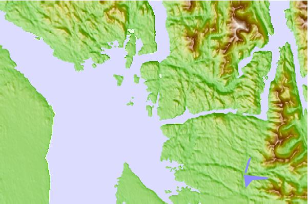
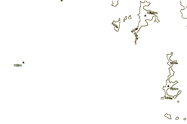
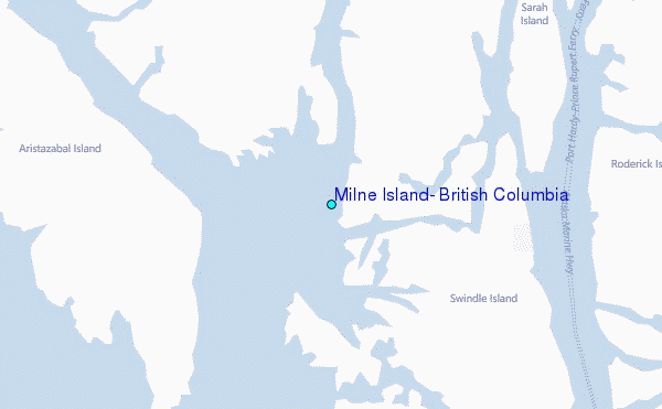
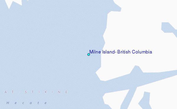
Use this relief map to navigate to tide stations, surf breaks and cities that are in the area of Milne Island, British Columbia.
Other Nearby Locations' tide tables and tide charts to Milne Island, British Columbia:
click location name for more details
 Surf breaks close to Milne Island, British Columbia:
|
||
|---|---|---|
| Closest surf break | Tow Hill Beach | 160 mi |
| Second closest surf break | Lepus Beach (Haida-Gwaii) | 206 mi |
| Third closest surf break | Nootka Island (Calvin Bay) | 221 mi |
| Fourth closest surf break | Tofino (North Chestermans Beach) | 272 mi |
| Fifth closest surf break | South Chesterman Beach | 273 mi |


 Nearest
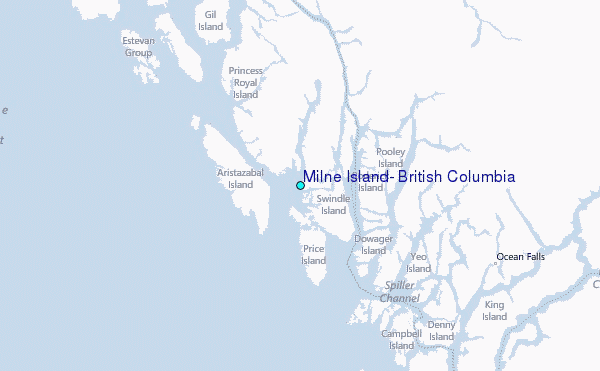