
| Distance / Altitude | Location | Report Date / Time | Live Weather | Wind | Gusts | Temp. | Visibility | Cloud |
|---|---|---|---|---|---|---|---|---|
| 1 km NW / 21 m | Minamidaitojima (Japan) | 2025-12-26 20:00 local (2025/12/26 11:00 GMT) | - | light winds from the N (19 km/h at 360) | 17°C | 40 km | - no observation - | |
| 2 km WSW / 15 m | Minamidaitojima Airport (Japan) | 2025-12-26 19:00 local (2025/12/26 10:00 GMT) | Dry and partly cloudy | moderate winds from the N (22 km/h at 350) | 17°C | 10.0 | scattered scattered broken | |
| 14 km NE / 22 m | Kitadaito Island Airport (Japan) | 2025-12-26 19:00 local (2025/12/26 10:00 GMT) | Dry and partly cloudy | moderate winds from the N (26 km/h at 350) | 17°C | 10.0 | few broken | |
| 257 km S / 15 m | SHIP3911 (Marine) | 2025-12-26 18:00 local (2025/12/26 09:00 GMT) | - (- km/h at -) | — | - km | |||
| 307 km NW / 6 m | Kikai Island Airport (Japan) | 2025-12-26 19:00 local (2025/12/26 10:00 GMT) | Dry and partly cloudy | fresh winds from the N (31 km/h at 350) | 13°C | 10.0 | few scattered broken | |
| 257 km S / 3 m | SHIP3531 (Marine) | 2025-12-26 18:00 local (2025/12/26 09:00 GMT) | - (- km/h at -) | 20°C | - | |||
| 257 km S / 15 m | SHIP7628 (Marine) | 2025-12-26 18:00 local (2025/12/26 09:00 GMT) | - (- km/h at -) | — | - km | |||
| 257 km S / 15 m | SHIP4440 (Marine) | 2025-12-26 18:00 local (2025/12/26 09:00 GMT) | - (- km/h at -) | — | - km | |||
| 257 km S / 15 m | SHIP5860 (Marine) | 2025-12-26 18:00 local (2025/12/26 09:00 GMT) | - (- km/h at -) | — | - km | |||
| 306 km NW / 6 m | Kikai Island Airport (Japan) | 2025-12-26 19:00 local (2025/12/26 10:00 GMT) | Dry and partly cloudy | fresh winds from the N (31 km/h at 350) | 13°C | 10.0 | few scattered broken |
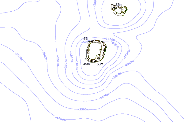
| Contours: | Roads & Rivers: | Select a
tide station / surf break / city |
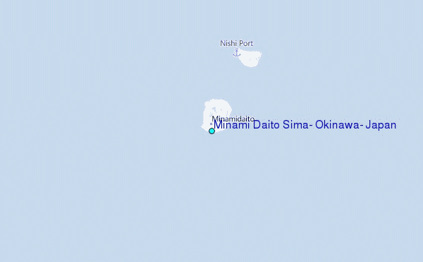
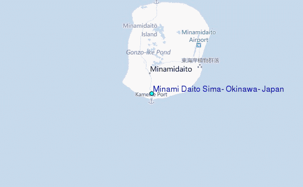
Use this relief map to navigate to tide stations, surf breaks and cities that are in the area of Minami Daito Sima, Okinawa, Japan.
Other Nearby Locations' tide tables and tide charts to Minami Daito Sima, Okinawa, Japan:
click location name for more details
 Surf breaks close to Minami Daito Sima, Okinawa, Japan:
|
||
|---|---|---|
| Closest surf break | Ada | 191 mi |
| Second closest surf break | Aha Rivermouth | 192 mi |
| Third closest surf break | Rocky Point | 194 mi |
| Fourth closest surf break | Oku | 196 mi |
| Fifth closest surf break | Ko-Chan (Hedo Point) | 198 mi |


 Nearest
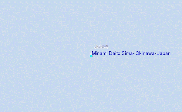