
| Distance / Altitude | Location | Report Date / Time | Live Weather | Wind | Gusts | Temp. | Visibility | Cloud |
|---|---|---|---|---|---|---|---|---|
| 36 km WSW / 238 m | Fuzhou ( 福州) or Rongcheng (Peoples Republic Of China) | 2025-12-25 14:00 local (2025/12/25 06:00 GMT) | - | light winds from the SE (11 km/h at 140) | — | 28 | - | |
| 71 km SSE / 219 m | Pingtan ( 平潭县) (Peoples Republic Of China) | 2025-12-25 14:00 local (2025/12/25 06:00 GMT) | - | wind obs. (14 kph from 200 degs) was rejected (- km/h at -) | — | 30 | - | |
| 124 km SSE / 15 m | SHIP9466 (Marine) | 2025-12-25 14:00 local (2025/12/25 06:00 GMT) | near gales from the NE (55.440000000000005 km/h at 40) | — | 8.1 km | |||
| 145 km NNE / 217 m | Fuding (Peoples Republic Of China) | 2025-12-25 14:00 local (2025/12/25 06:00 GMT) | - | wind obs. (7 kph from 140 degs) was rejected (- km/h at -) | — | 30 | - | |
| 148 km SE / 0 m | lightning 57km NNW of Hsin-chu (Taiwan) | 2025-12-25 15:47 local (2025/12/25 07:47 GMT) | Thunderstorm | (- km/h at -) | — | |||
| 148 km SE / 0 m | lightning 57km NNW of Hsin-chu (Taiwan) | 2025-12-25 15:47 local (2025/12/25 07:47 GMT) | Thunderstorm | (- km/h at -) | — | |||
| 158 km W / 219 m | Nanping ( 南平) (Peoples Republic Of China) | 2025-12-25 14:00 local (2025/12/25 06:00 GMT) | - | wind obs. (7 kph from 180 degs) was rejected (- km/h at -) | — | 30 | - | |
| 161 km SW / 1651 m | Jiuxian Shan (Peoples Republic of China) | 2025-12-25 14:00 local (2025/12/25 06:00 GMT) | - | wind obs. (14 kph from 250 degs) was rejected (- km/h at -) | — | 30 | - | |
| 195 km SE / 20 m | Nangang wx (Taiwan) | 2025-12-25 16:21 local (2025/12/25 08:21 GMT) | - | calm (0 km/h at 0) | 16°C | - | - - 0 | |
| 198 km SE / 218 m | Chiang Kai Shek Airport (Taiwan) | 2025-12-25 15:30 local (2025/12/25 07:30 GMT) | Light rain | fresh winds from the NNE.(Wind varies from 320 to 050 degs) (30 km/h at 30) | 14°C | 8.0 | scattered broken broken |
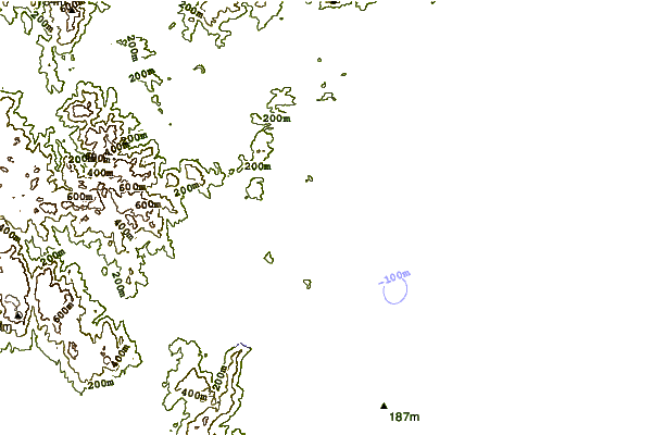
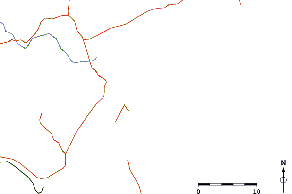
| Contours: | Roads & Rivers: | Select a
tide station / surf break / city |
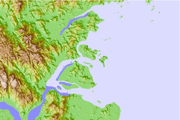
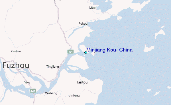
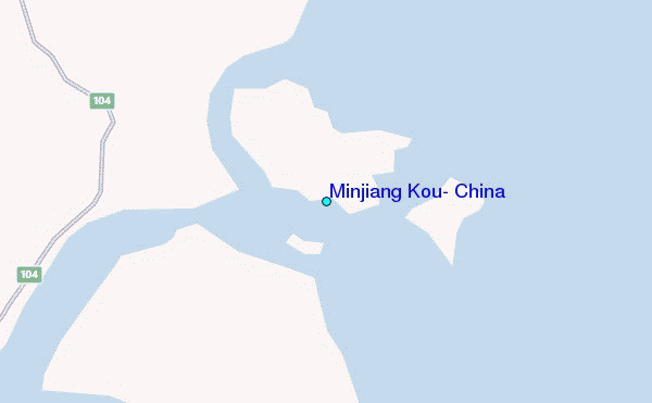
Use this relief map to navigate to tide stations, surf breaks and cities that are in the area of Minjiang Kou, China.
Other Nearby Locations' tide tables and tide charts to Minjiang Kou, China:
click location name for more details
 Surf breaks close to Minjiang Kou, China:
|
||
|---|---|---|
| Closest surf break | Haitan Bay (Haitan Dao) | 45 mi |
| Second closest surf break | Funingwan | 52 mi |
| Third closest surf break | Qingshan Bay | 98 mi |
| Fourth closest surf break | Paishawan Beach | 131 mi |
| Fifth closest surf break | Green Bay | 140 mi |


 Nearest
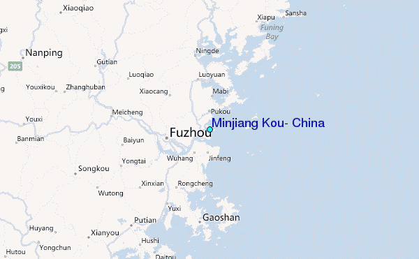