
| Distance / Altitude | Location | Report Date / Time | Live Weather | Wind | Gusts | Temp. | Visibility | Cloud |
|---|---|---|---|---|---|---|---|---|
| 28 km ENE / 0 m | lightning 9km N of Petit Goave (Haiti) | 2026-04-03 22:48 local (2026/04/04 02:48 GMT) | Thunderstorm | (- km/h at -) | — | |||
| 42 km ESE / 520 m | lightning 20km S of Grand Goave (Haiti) | 2026-04-03 22:48 local (2026/04/04 02:48 GMT) | Thunderstorm | (- km/h at -) | — | |||
| 42 km ENE / 0 m | lightning 10km WNW of Leogane (Haiti) | 2026-04-04 00:00 local (2026/04/04 04:00 GMT) | Thunderstorm | (- km/h at -) | — | |||
| 55 km ESE / 433 m | lightning 9km W of Jacmel (Haiti) | 2026-04-04 00:35 local (2026/04/04 04:35 GMT) | Thunderstorm | (- km/h at -) | — | |||
| 58 km NNE / 0 m | lightning 8km N of Anse a Galets (Haiti) | 2026-04-04 00:35 local (2026/04/04 04:35 GMT) | Thunderstorm | (- km/h at -) | — | |||
| 60 km WSW / 81 m | thunderstorm affecting Baraderes (Haiti) | 2026-04-03 22:49 local (2026/04/04 02:49 GMT) | Thunderstorm | (- km/h at -) | — | |||
| 67 km ENE / 0 m | lightning 9km N of Gressier (Haiti) | 2026-04-04 00:00 local (2026/04/04 04:00 GMT) | Thunderstorm | (- km/h at -) | — | |||
| 88 km WNW / 0 m | lightning 59km N of Petit Trou de Nippes (Haiti) | 2026-04-03 23:18 local (2026/04/04 03:18 GMT) | Thunderstorm | (- km/h at -) | — | |||
| 93 km ENE / 400 m | lightning 13km SE of Desarmes (Haiti) | 2026-04-03 22:15 local (2026/04/04 02:15 GMT) | Thunderstorm | (- km/h at -) | — | |||
| 157 km W / 15 m | SHIP2871 (Marine) | 2026-04-04 00:00 local (2026/04/04 04:00 GMT) | - (- km/h at -) | — | - km |
| Contours: | Roads & Rivers: | Select a
tide station / surf break / city |
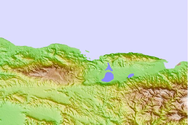

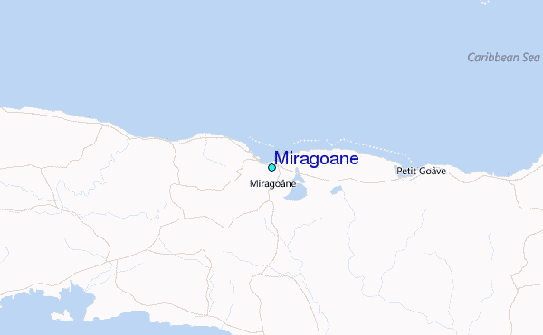
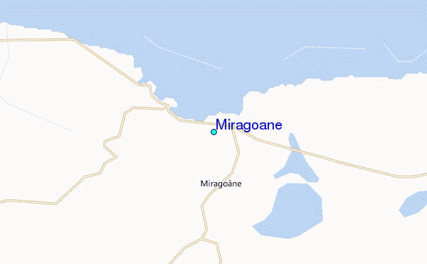
Use this relief map to navigate to tide stations, surf breaks and cities that are in the area of Miragoane.
Other Nearby Locations' tide tables and tide charts to Miragoane:
click location name for more details
 Surf breaks close to Miragoane:
|
||
|---|---|---|
| Closest surf break | Jacmel | 39 mi |
| Second closest surf break | Bahia de las Aguilas | 103 mi |
| Third closest surf break | Isla Beata | 121 mi |
| Fourth closest surf break | Cabo Beata | 124 mi |
| Fifth closest surf break | Paraiso | 124 mi |


 Nearest
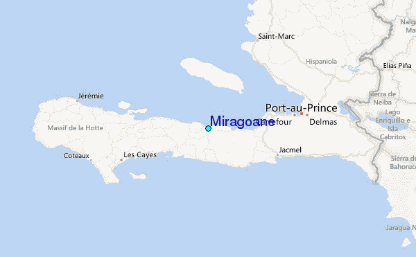