
| Distance / Altitude | Location | Report Date / Time | Live Weather | Wind | Gusts | Temp. | Visibility | Cloud |
|---|---|---|---|---|---|---|---|---|
| 14 km NNE / 5 m | Miscou Island (Aut)- NB (Canada) | 2025-12-25 17:00 local (2025/12/25 21:00 GMT) | No report | wind obs. (15 kph from 10 degs) was rejected (- km/h at -) | -6°C | - | - no observation - | |
| 22 km SW / 5 m | Bas Caraquet- NB (Canada) | 2025-12-25 17:00 local (2025/12/25 21:00 GMT) | no report | calm (4 km/h at 10) | -7°C | - | - no observation - | |
| 41 km WNW / 15 m | SHIP7716 (Marine) | 2025-12-25 15:00 local (2025/12/25 19:00 GMT) | light winds from the NNW (7.5600000000000005 km/h at 330) | — | - km | |||
| 41 km WNW / 3 m | SHIP6079 (Marine) | 2025-12-25 15:00 local (2025/12/25 19:00 GMT) | light winds from the NNW (8 km/h at 330) | — | - | |||
| 41 km WNW / 3 m | SHIP3763 (Marine) | 2025-12-25 16:00 local (2025/12/25 20:00 GMT) | light winds from the N (11 km/h at 0) | — | - | |||
| 41 km WNW / 3 m | SHIP6183 (Marine) | 2025-12-25 15:00 local (2025/12/25 19:00 GMT) | light winds from the NNW (8 km/h at 330) | — | - | |||
| 41 km WNW / 3 m | SHIP6532 (Marine) | 2025-12-25 16:00 local (2025/12/25 20:00 GMT) | light winds from the N (11 km/h at 0) | — | - | |||
| 41 km WNW / 3 m | SHIP2692 (Marine) | 2025-12-25 15:00 local (2025/12/25 19:00 GMT) | light winds from the NNW (8 km/h at 330) | — | - | |||
| 41 km WNW / 15 m | SHIP9137 (Marine) | 2025-12-25 15:00 local (2025/12/25 19:00 GMT) | light winds from the NNW (7.5600000000000005 km/h at 330) | — | - km | |||
| 41 km WNW / 3 m | SHIP2576 (Marine) | 2025-12-25 15:00 local (2025/12/25 19:00 GMT) | light winds from the N (8 km/h at 350) | — | - |
| Contours: | Roads & Rivers: | Select a
tide station / surf break / city |
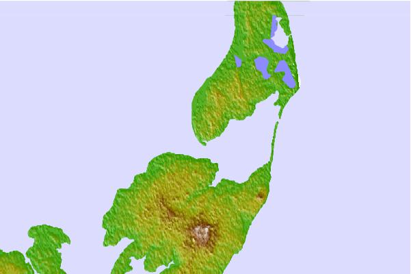

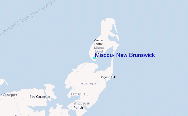
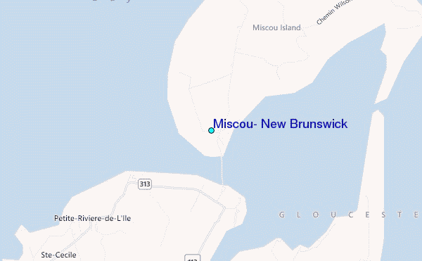
Use this relief map to navigate to tide stations, surf breaks and cities that are in the area of Miscou, New Brunswick.
Other Nearby Locations' tide tables and tide charts to Miscou, New Brunswick:
click location name for more details
 Surf breaks close to Miscou, New Brunswick:
|
||
|---|---|---|
| Closest surf break | Ingonish Beach | 215 mi |
| Second closest surf break | Martinique | 232 mi |
| Third closest surf break | Backyards | 233 mi |
| Fourth closest surf break | Lawrencetown Left Point | 233 mi |
| Fifth closest surf break | Lawrencetown Reef | 233 mi |


 Nearest
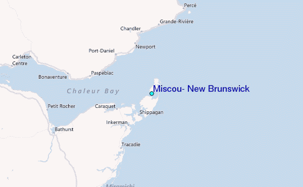