
| Distance / Altitude | Location | Report Date / Time | Live Weather | Wind | Gusts | Temp. | Visibility | Cloud |
|---|---|---|---|---|---|---|---|---|
| 182 km S / 1 m | Miceti wx (Mozambique) | 2024-07-27 02:53 local (2024/07/27 00:53 GMT) | - | light winds from the WSW (13 km/h at 240) | 20°C | - | - - 0 | |
| 182 km S / 446 m | Pemba Airport (Mozambique) | 2024-07-27 02:00 local (2024/07/27 00:00 GMT) | Dry and partly cloudy | light winds from the WSW (13 km/h at 240) | 21°C | 45 km | scattered scattered - | |
| 317 km E / 29 m | HahayaInt.Airport (Comoros) | 2024-07-27 02:00 local (2024/07/27 00:00 GMT) | - | light winds from the SE (15 km/h at 140) | 23°C | 50 km | - few - | |
| 372 km SSW / 756 m | Marrupa (Mozambique) | 2024-07-27 02:00 local (2024/07/27 00:00 GMT) | no report | light winds from the SE (11 km/h at 130) | 27°C | 20 | - | |
| 434 km S / 344 m | Merraveza wx (Mozambique) | 2024-07-27 02:53 local (2024/07/27 00:53 GMT) | - | calm (5 km/h at 200) | 17°C | - | - - 0 | |
| 432 km S / 323 m | Nampula Airport (Mozambique) | 2024-07-27 02:00 local (2024/07/27 00:00 GMT) | - | light winds from the SSW (6 km/h at 200) | — | 0.0 | - clear - | |
| 458 km ESE / - m | SHIP1328 (ocean) | 2024-07-27 01:00 local (2024/07/26 23:00 GMT) | State of sky unchanged | moderate winds from the S (20 km/h at 180) | 26°C | >50 km | few | |
| 458 km ESE / 3 m | SHIP2688 (Marine) | 2024-07-27 01:00 local (2024/07/26 23:00 GMT) | moderate winds from the S (21 km/h at 180) | 26°C | 50.0 | |||
| 458 km ESE / 15 m | SHIP3764 (Marine) | 2024-07-27 01:00 local (2024/07/26 23:00 GMT) | moderate winds from the S (20.52 km/h at 180) | 27°C | 43.5 km | |||
| 458 km ESE / 3 m | SHIP6497 (Marine) | 2024-07-27 01:00 local (2024/07/26 23:00 GMT) | moderate winds from the S (21 km/h at 180) | 26°C | 50.0 |
| Contours: | Roads & Rivers: | Select a
tide station / surf break / city |
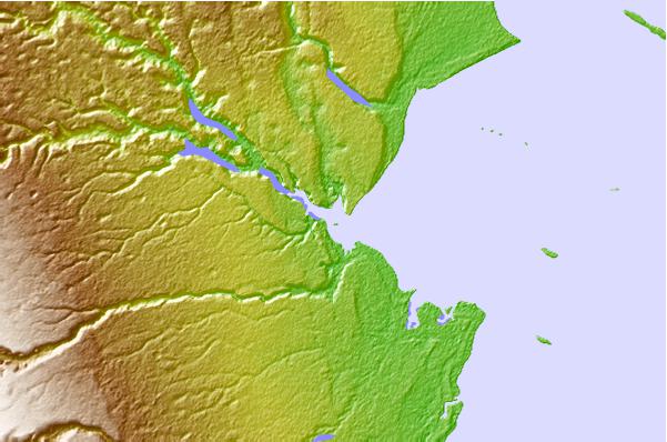
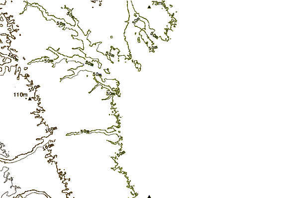
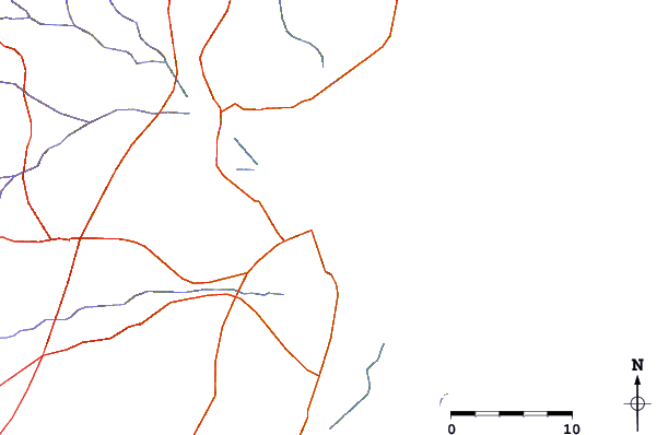
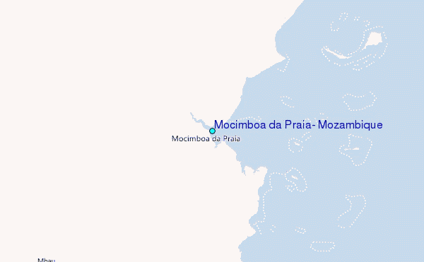
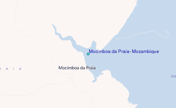
Use this relief map to navigate to tide stations, surf breaks and cities that are in the area of Mocimboa da Praia, Mozambique.
Other Nearby Locations' tide tables and tide charts to Mocimboa da Praia, Mozambique:
click location name for more details
 Surf breaks close to Mocimboa da Praia, Mozambique:
|
||
|---|---|---|
| Closest surf break | Oyster Bay Beach - Coco Beach | 324 mi |
| Second closest surf break | Sea Cliff | 326 mi |
| Third closest surf break | Jam's Right | 328 mi |
| Fourth closest surf break | Nungwi Reefs | 395 mi |
| Fifth closest surf break | Mombasa Channel | 503 mi |

 Nearest
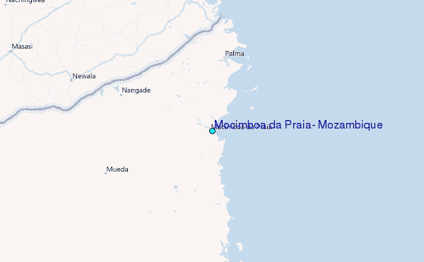