
| Distance / Altitude | Location | Report Date / Time | Live Weather | Wind | Gusts | Temp. | Visibility | Cloud |
|---|---|---|---|---|---|---|---|---|
| 30 km E / 29 m | Cap -Madeleine- Que (Canada) | 2026-05-26 23:00 local (2026/05/27 03:00 GMT) | No report | moderate winds from the E (20 km/h at 100) | 8°C | - | - no observation - | |
| 30 km E / 194 m | Cap Madeleine Airport (Quebec) | 2026-05-26 22:00 local (2026/05/27 02:00 GMT) | - | light winds from the ESE (19 km/h at 110) | 8°C | 0.0 | ||
| 51 km SW / 5 m | Cap -Chat- Que (Canada) | 2026-05-26 23:00 local (2026/05/27 03:00 GMT) | No report | moderate winds from the ESE (22 km/h at 120) | 9°C | - | - no observation - | |
| 74 km SW / 197 m | Cap Chat Airport (Quebec) | 2026-05-26 22:00 local (2026/05/27 02:00 GMT) | - | fresh winds from the SE (30 km/h at 130) | 10°C | 0.0 | ||
| 89 km SW / 15 m | SHIP2861 (Marine) | 2026-05-26 21:00 local (2026/05/27 01:00 GMT) | calm (3.6 km/h at 170) | — | - km | |||
| 89 km SW / 15 m | SHIP5573 (Marine) | 2026-05-26 21:00 local (2026/05/27 01:00 GMT) | calm (3.6 km/h at 170) | — | - km | |||
| 89 km SW / 3 m | SHIP675 (Marine) | 2026-05-26 21:00 local (2026/05/27 01:00 GMT) | calm (4 km/h at 170) | 8°C | - | |||
| 89 km SW / 3 m | SHIP2308 (Marine) | 2026-05-26 21:00 local (2026/05/27 01:00 GMT) | calm (4 km/h at 170) | 8°C | - | |||
| 89 km SW / 3 m | SHIP9194 (Marine) | 2026-05-26 22:00 local (2026/05/27 02:00 GMT) | light winds from the SE (15 km/h at 130) | 10°C | - | |||
| 89 km SW / 3 m | SHIP3771 (Marine) | 2026-05-26 21:00 local (2026/05/27 01:00 GMT) | calm (4 km/h at 170) | 8°C | - |
| Contours: | Roads & Rivers: | Select a
tide station / surf break / city |
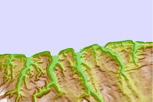
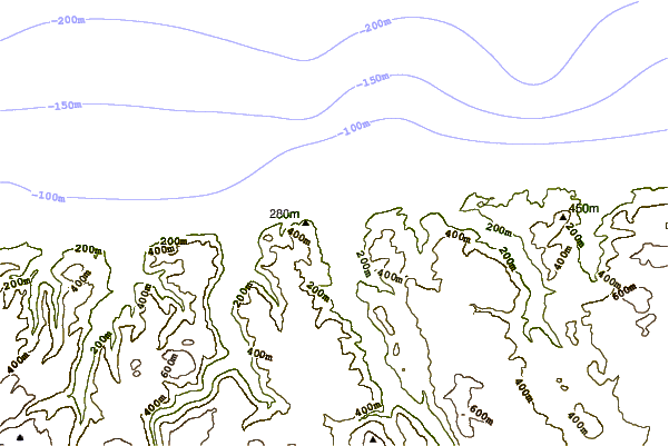
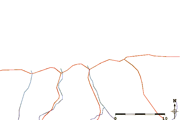
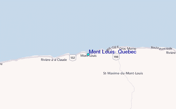
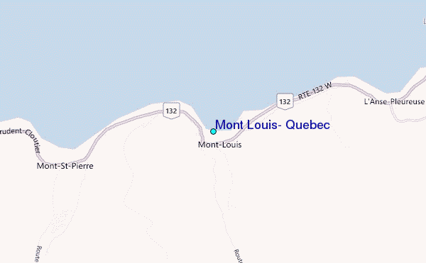
Use this relief map to navigate to tide stations, surf breaks and cities that are in the area of Mont Louis, Quebec.
Other Nearby Locations' tide tables and tide charts to Mont Louis, Quebec:
click location name for more details
 Surf breaks close to Mont Louis, Quebec:
|
||
|---|---|---|
| Closest surf break | Ingonish Beach | 306 mi |
| Second closest surf break | Minutes | 336 mi |
| Third closest surf break | Backyards | 337 mi |
| Fourth closest surf break | Lawrencetown Reef | 337 mi |
| Fifth closest surf break | Lawrencetown Right Point | 337 mi |


 Nearest
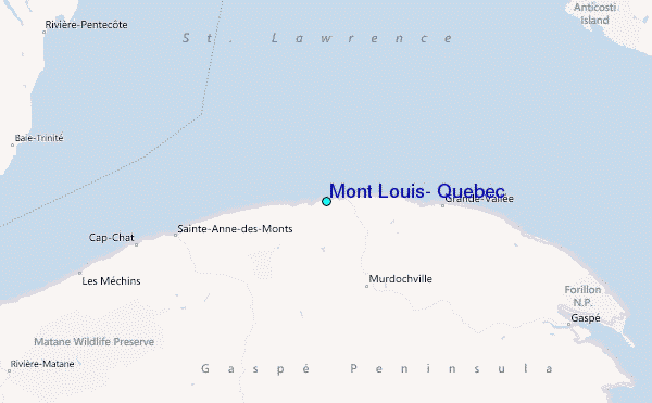