
| Distance / Altitude | Location | Report Date / Time | Live Weather | Wind | Gusts | Temp. | Visibility | Cloud |
|---|---|---|---|---|---|---|---|---|
| 20 km WSW / 4 m | Pinette wx (Canada) | 2026-05-26 01:40 local (2026/05/26 04:40 GMT) | - | calm (0 km/h at 270) | 16°C | - | - - 0 | |
| 28 km S / 217 m | Caribou Point Airport (Nova Scotia) | 2026-05-26 00:00 local (2026/05/26 03:00 GMT) | - | light winds from the S (15 km/h at 180) | 11°C | 0.0 | ||
| 28 km S / 2 m | CaribouPoint(Aut)- NS (Canada) | 2026-05-26 01:00 local (2026/05/26 04:00 GMT) | - | light winds from the SSW (14 km/h at 210) | — | - | - no observation - | |
| 46 km WNW / 217 m | Charlottetown Airport (Prince Edward Islan) | 2026-05-26 00:09 local (2026/05/26 03:09 GMT) | Drizzle | light winds from the SSW (11 km/h at 200) | 11°C | 2 | overcast | |
| 47 km SE / 24 m | Arisaig wx (Canada) | 2026-05-26 01:21 local (2026/05/26 04:21 GMT) | dry | light winds from the SSW (16 km/h at 212) | 11°C | - | - - 0 | |
| 48 km WNW / 49 m | Charlottetown A- Pei (Canada) | 2026-05-26 00:00 local (2026/05/26 03:00 GMT) | no report | light winds from the S (11 km/h at 190) | 11°C | 2.4 km | - overcast - | |
| 48 km N / 30 m | St. Peters Airport (Prince Edward Island) | 2026-05-26 00:00 local (2026/05/26 03:00 GMT) | - | light winds from the SSE (17 km/h at 150) | 10°C | 0.0 | ||
| 49 km N / 30 m | St. Peters- Pei (Canada) | 2026-05-26 01:00 local (2026/05/26 04:00 GMT) | - | wind obs. (22 kph from 220 degs) was rejected (- km/h at -) | — | - | - | |
| 49 km W / 33 m | Meadow Bank wx (Canada) | 2026-05-26 01:18 local (2026/05/26 04:18 GMT) | dry | calm (3 km/h at 285) | 12°C | - | - - 0 | |
| 49 km N / 30 m | St. Peters Airport (Canada) | 2026-05-26 00:00 local (2026/05/26 03:00 GMT) | - | light winds from the SSE (17 km/h at 150) | 10°C | - | - no observation - |
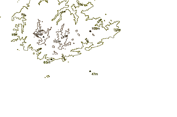
| Contours: | Roads & Rivers: | Select a
tide station / surf break / city |
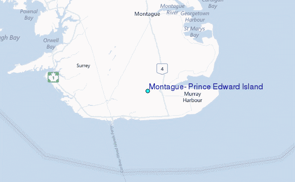
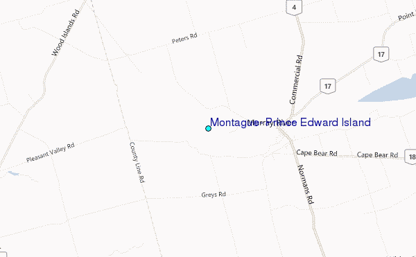
Use this relief map to navigate to tide stations, surf breaks and cities that are in the area of Montague, Prince Edward Island.
Other Nearby Locations' tide tables and tide charts to Montague, Prince Edward Island:
click location name for more details
 Surf breaks close to Montague, Prince Edward Island:
|
||
|---|---|---|
| Closest surf break | Martinique | 96 mi |
| Second closest surf break | Michaud Point | 100 mi |
| Third closest surf break | Lawrencetown Left Point | 101 mi |
| Fourth closest surf break | Lawrencetown Reef | 101 mi |
| Fifth closest surf break | Lawrencetown Right Point | 101 mi |


 Nearest
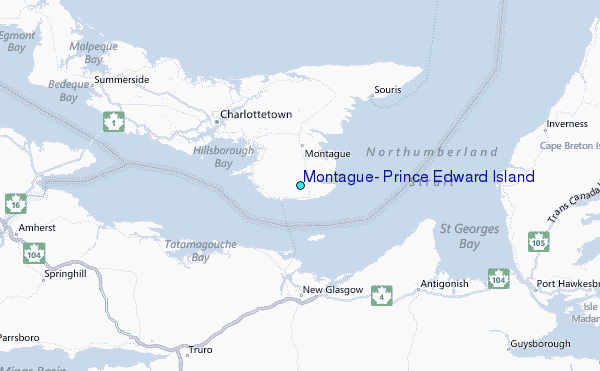