
| Distance / Altitude | Location | Report Date / Time | Live Weather | Wind | Gusts | Temp. | Visibility | Cloud |
|---|---|---|---|---|---|---|---|---|
| 163 km NW / 660 m | Sayun Airport (Yemen) | 2026-02-11 03:00 local (2026/02/11 00:00 GMT) | - | calm (2 km/h at 1) | — | 0.0 | ||
| 390 km NW / 690 m | Sharurah Airport (Saudi Arabia) | 2026-02-11 03:00 local (2026/02/11 00:00 GMT) | - | light winds from the E (19 km/h at 90) | — | 0.0 | few - - | |
| 491 km SW / 184 m | Aden International Airport (Yemen) | 2026-02-11 03:00 local (2026/02/11 00:00 GMT) | Dry and partly cloudy | moderate winds from the ENE (22 km/h at 70) | 25°C | 6.0 | broken | |
| 584 km ENE / 15 m | SHIP8935 (Marine) | 2026-02-11 02:00 local (2026/02/10 23:00 GMT) | - (- km/h at -) | — | - km | |||
| 584 km ENE / 3 m | SHIP7318 (Marine) | 2026-02-11 04:00 local (2026/02/11 01:00 GMT) | - (- km/h at -) | 24°C | - | |||
| 584 km ENE / 15 m | SHIP4583 (Marine) | 2026-02-11 02:00 local (2026/02/10 23:00 GMT) | - (- km/h at -) | — | - km | |||
| 584 km ENE / 3 m | SHIP8222 (Marine) | 2026-02-11 03:00 local (2026/02/11 00:00 GMT) | - (- km/h at -) | 24°C | - | |||
| 584 km ENE / 3 m | SHIP5711 (Marine) | 2026-02-11 03:00 local (2026/02/11 00:00 GMT) | - (- km/h at -) | 24°C | - | |||
| 584 km ENE / 3 m | SHIP1965 (Marine) | 2026-02-11 03:00 local (2026/02/11 00:00 GMT) | - (- km/h at -) | 24°C | - | |||
| 584 km ENE / 3 m | SHIP5487 (Marine) | 2026-02-11 02:00 local (2026/02/10 23:00 GMT) | - (- km/h at -) | 24°C | - |
| Contours: | Roads & Rivers: | Select a
tide station / surf break / city |
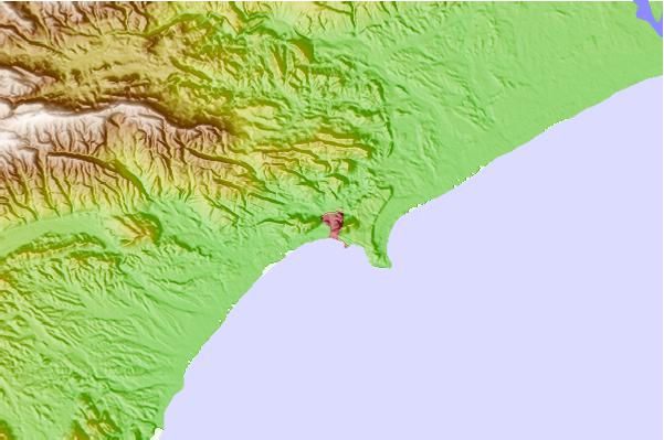
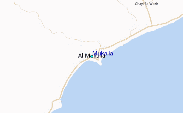
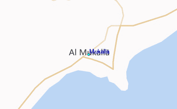
Use this relief map to navigate to tide stations, surf breaks and cities that are in the area of Mukalla.
Other Nearby Locations' tide tables and tide charts to Mukalla:
click location name for more details
 Surf breaks close to Mukalla:
|
||
|---|---|---|
| Closest surf break | Pirights | 311 mi |
| Second closest surf break | Qulansiyah | 320 mi |
| Third closest surf break | Ras Kaydah | 750 mi |
| Fourth closest surf break | Haqal | 752 mi |
| Fifth closest surf break | Shi-inzi | 768 mi |


 Nearest
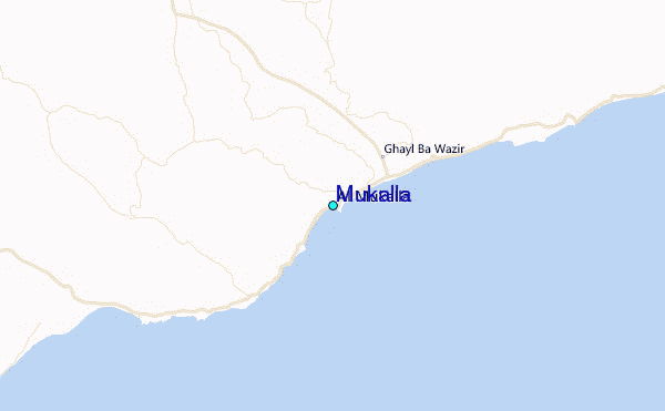