
| Distance / Altitude | Location | Report Date / Time | Live Weather | Wind | Gusts | Temp. | Visibility | Cloud |
|---|---|---|---|---|---|---|---|---|
| 50 km SE / 15 m | ASCATB49E14N (Marine) | 2026-07-09 20:13 local (2026/07/09 17:13 GMT) | moderate winds from the SW (21 km/h at 227) | — | - km | |||
| 95 km E / 15 m | ASCATB50E14N (Marine) | 2026-07-09 20:13 local (2026/07/09 17:13 GMT) | light winds from the WSW (15 km/h at 255) | — | - km | |||
| 125 km SSW / 15 m | ASCATB48E14N (Marine) | 2026-07-09 20:13 local (2026/07/09 17:13 GMT) | light winds from the W (10 km/h at 280) | — | - km | |||
| 126 km S / 15 m | ASCATB49E13N (Marine) | 2026-07-09 20:13 local (2026/07/09 17:13 GMT) | light winds from the W (15 km/h at 279) | — | - km | |||
| 135 km SSE / 15 m | ASCATB50E13N (Marine) | 2026-07-09 20:13 local (2026/07/09 17:13 GMT) | light winds from the W (13 km/h at 262) | — | - km | |||
| 162 km NW / 660 m | Sayun Airport (Yemen) | 2026-07-09 21:00 local (2026/07/09 18:00 GMT) | Dry and partly cloudy | light winds from the NNE (15 km/h at 30) | 39°C | 6.0 | no significant cloud | |
| 189 km SSW / 15 m | ASCATB48E13N (Marine) | 2026-07-09 20:13 local (2026/07/09 17:13 GMT) | light winds from the W (10 km/h at 273) | — | - km | |||
| 228 km S / 15 m | ASCATB49E12N (Marine) | 2026-07-09 20:13 local (2026/07/09 17:13 GMT) | light winds from the SE (11 km/h at 132) | — | - km | |||
| 229 km SSW / 15 m | ASCATB47E13N (Marine) | 2026-07-09 20:13 local (2026/07/09 17:13 GMT) | light winds from the W (11 km/h at 276) | — | - km | |||
| 243 km SSE / 15 m | ASCATB50E12N (Marine) | 2026-07-09 20:12 local (2026/07/09 17:12 GMT) | light winds from the ESE (19 km/h at 109) | — | - km |
| Contours: | Roads & Rivers: | Select a
tide station / surf break / city |
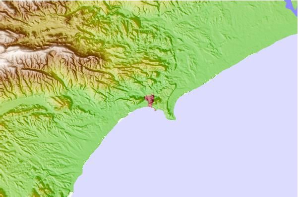
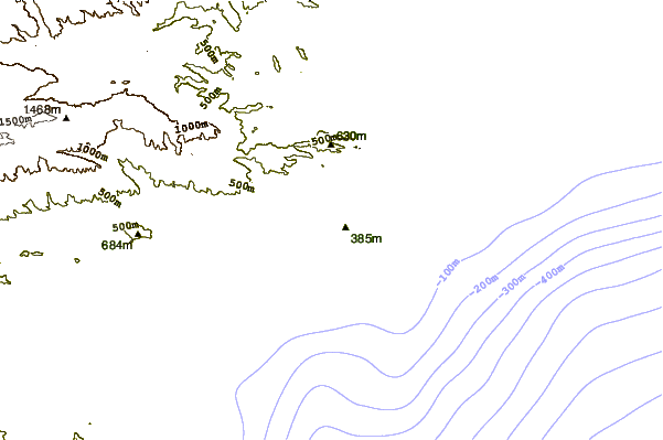
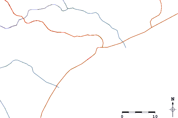
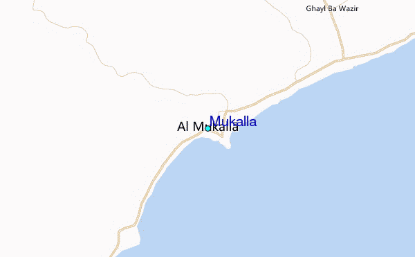
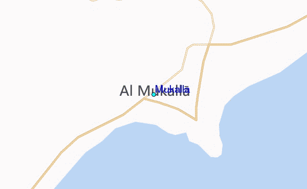
Use this relief map to navigate to tide stations, surf breaks and cities that are in the area of Mukalla.
Other Nearby Locations' tide tables and tide charts to Mukalla:
click location name for more details
 Surf breaks close to Mukalla:
|
||
|---|---|---|
| Closest surf break | Pirights | 311 mi |
| Second closest surf break | Qulansiyah | 320 mi |
| Third closest surf break | Ras Kaydah | 750 mi |
| Fourth closest surf break | Haqal | 752 mi |
| Fifth closest surf break | Shi-inzi | 768 mi |


 Nearest
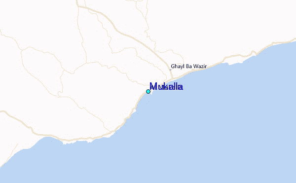