
| Distance / Altitude | Location | Report Date / Time | Live Weather | Wind | Gusts | Temp. | Visibility | Cloud |
|---|---|---|---|---|---|---|---|---|
| 19 km SW / 216 m | Point Lepreau Airport (New Brunswick) | 2026-07-26 08:00 local (2026/07/26 11:00 GMT) | - | light winds from the ENE (15 km/h at 60) | 12°C | 0.0 | ||
| 34 km ENE / 109 m | Saint John A- NB (Canada) | 2026-07-26 09:00 local (2026/07/26 12:00 GMT) | no report | - (- km/h at -) | 15°C | - | - - - | |
| 35 km ENE / 216 m | Saint John Airport (New Brunswick) | 2026-07-26 08:00 local (2026/07/26 11:00 GMT) | - | calm (0 km/h at 0) | — | 24 | ||
| 63 km SW / 3 m | BUOY-PSBM1 (Marine) | 2026-07-26 09:00 local (2026/07/26 12:00 GMT) | calm (5 km/h at 340) | 11°C | - | |||
| 65 km SSW / 78 m | Grand Manan Sar Cs- NB (Canada) | 2026-07-26 09:00 local (2026/07/26 12:00 GMT) | - | wind obs. (11 kph from 250 degs) was rejected (- km/h at -) | — | - | - | |
| 71 km WSW / 29 m | Red Beach wx (United States) | 2026-07-26 09:32 local (2026/07/26 12:32 GMT) | dry | calm (3 km/h at 118) | 15°C | - | - - 0 | |
| 73 km SE / 6.1 m | Annapolis Royal 2 (Nova Scotia) | 2026-07-26 09:31 local (2026/07/26 12:31 GMT) | dry | - (- km/h at ) | — | - | - - 0 | |
| 78 km NW / 51 m | Gagetown Awos A- NB (Canada) | 2026-07-26 09:00 local (2026/07/26 12:00 GMT) | - | - (- km/h at -) | — | - | - | |
| 79 km WSW / 210 m | St. Stephen Airport (New Brunswick) | 2026-07-26 08:00 local (2026/07/26 11:00 GMT) | - | calm (2 km/h at 100) | 12°C | 0.0 | ||
| 79 km WSW / 28 m | St. Stephen- NB (Canada) | 2026-07-26 09:00 local (2026/07/26 12:00 GMT) | no report | calm (0 km/h at 50) | 21°C | - | - - - |
| Contours: | Roads & Rivers: | Select a
tide station / surf break / city |
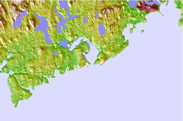
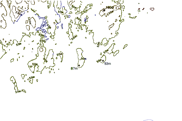
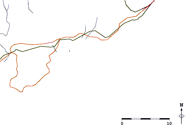
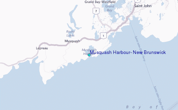
Use this relief map to navigate to tide stations, surf breaks and cities that are in the area of Musquash Harbour, New Brunswick.
Other Nearby Locations' tide tables and tide charts to Musquash Harbour, New Brunswick:
click location name for more details
 Surf breaks close to Musquash Harbour, New Brunswick:
|
||
|---|---|---|
| Closest surf break | Summerville | 109 mi |
| Second closest surf break | Scotts Bay | 111 mi |
| Third closest surf break | Broad Cove | 111 mi |
| Fourth closest surf break | Cherry Hill | 111 mi |
| Fifth closest surf break | White Point Beach | 111 mi |


 Nearest
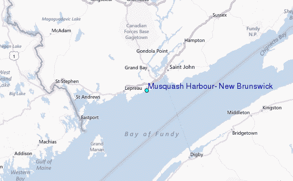