
| Distance / Altitude | Location | Report Date / Time | Live Weather | Wind | Gusts | Temp. | Visibility | Cloud |
|---|---|---|---|---|---|---|---|---|
| 207 km ESE / 15 m | hy2b345E73N (Marine) | 2026-04-04 11:17 local (2026/04/04 13:17 GMT) | moderate winds from the SSE (21 km/h at 155) | — | - km | |||
| 239 km E / 15 m | hy2b346E73N (Marine) | 2026-04-04 11:17 local (2026/04/04 13:17 GMT) | moderate winds from the S (20 km/h at 172) | — | - km | |||
| 276 km ENE / 15 m | hy2b347E74N (Marine) | 2026-04-04 11:17 local (2026/04/04 13:17 GMT) | moderate winds from the SSE (23 km/h at 155) | — | - km | |||
| 287 km E / 15 m | hy2b348E74N (Marine) | 2026-04-04 11:17 local (2026/04/04 13:17 GMT) | light winds from the SSE (18 km/h at 165) | — | - km | |||
| 289 km E / 15 m | hy2b347E73N (Marine) | 2026-04-04 11:17 local (2026/04/04 13:17 GMT) | light winds from the SE (13 km/h at 145) | — | - km | |||
| 301 km E / 15 m | hy2b348E73N (Marine) | 2026-04-04 11:17 local (2026/04/04 13:17 GMT) | light winds from the SE (10 km/h at 135) | — | - km | |||
| 305 km S / 12 m | Constable Point (Greenland) | 2026-04-04 13:00 local (2026/04/04 15:00 GMT) | - | moderate winds from the N (24 km/h at 10) | — | - | - | |
| 333 km S / 71 m | Ittoqqortoormiit(Scoresbysund) (Greenland) | 2026-04-04 13:00 local (2026/04/04 15:00 GMT) | - | calm (2 km/h at 140) | -10°C | - | clear | |
| 338 km E / 15 m | hy2b349E73N (Marine) | 2026-04-04 11:17 local (2026/04/04 13:17 GMT) | light winds from the ESE (6 km/h at 102) | — | - km | |||
| 348 km ENE / 15 m | hy2b349E74N (Marine) | 2026-04-04 11:17 local (2026/04/04 13:17 GMT) | light winds from the S (13 km/h at 172) | — | - km |
| Contours: | Roads & Rivers: | Select a
tide station / surf break / city |
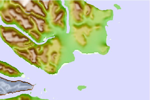
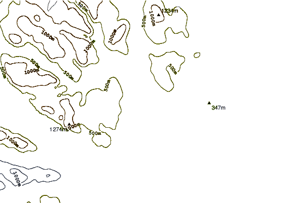
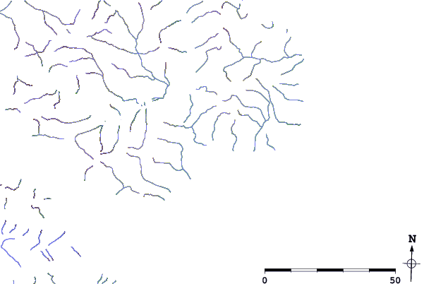
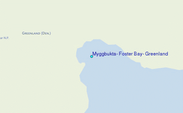
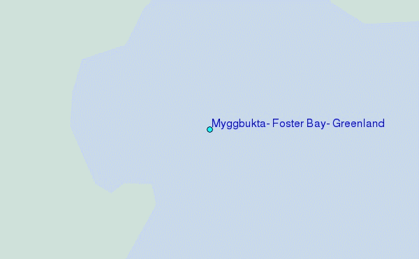
Use this relief map to navigate to tide stations, surf breaks and cities that are in the area of Myggbukta, Foster Bay, Greenland.
Other Nearby Locations' tide tables and tide charts to Myggbukta, Foster Bay, Greenland:
click location name for more details
 Surf breaks close to Myggbukta, Foster Bay, Greenland:
|
||
|---|---|---|
| Closest surf break | Eyvik | 519 mi |
| Second closest surf break | Grotta | 643 mi |
| Third closest surf break | Garur | 649 mi |
| Fourth closest surf break | Hafnarfjordur | 650 mi |
| Fifth closest surf break | Hafnir | 659 mi |


 Nearest