
| Distance / Altitude | Location | Report Date / Time | Live Weather | Wind | Gusts | Temp. | Visibility | Cloud |
|---|---|---|---|---|---|---|---|---|
| 48 km SE / 15 m | ASCATB150E46N (Marine) | 2024-07-27 10:16 local (2024/07/26 23:16 GMT) | light winds from the SSW (8 km/h at 196) | — | - km | |||
| 58 km SE / 15 m | ASCATB151E46N (Marine) | 2024-07-27 10:16 local (2024/07/26 23:16 GMT) | light winds from the S (6 km/h at 187) | — | - km | |||
| 88 km WSW / 15 m | ASCATB149E46N (Marine) | 2024-07-27 10:16 local (2024/07/26 23:16 GMT) | light winds from the WNW (13 km/h at 290) | — | - km | |||
| 90 km NW / 15 m | ASCATB150E47N (Marine) | 2024-07-27 10:16 local (2024/07/26 23:16 GMT) | light winds from the WNW (12 km/h at 303) | — | - km | |||
| 128 km ESE / 15 m | ASCATB152E46N (Marine) | 2024-07-27 10:16 local (2024/07/26 23:16 GMT) | moderate winds from the NW (22 km/h at 322) | — | - km | |||
| 132 km WNW / 15 m | ASCATB149E47N (Marine) | 2024-07-27 10:16 local (2024/07/26 23:16 GMT) | light winds from the NW (14 km/h at 308) | — | - km | |||
| 138 km NE / 15 m | ASCATB151E47N (Marine) | 2024-07-27 10:16 local (2024/07/26 23:16 GMT) | moderate winds from the NW (24 km/h at 318) | — | - km | |||
| 139 km S / 15 m | ASCATB150E45N (Marine) | 2024-07-27 10:17 local (2024/07/26 23:17 GMT) | light winds from the NNW (15 km/h at 327) | — | - km | |||
| 142 km SSE / 15 m | ASCATB151E45N (Marine) | 2024-07-27 10:17 local (2024/07/26 23:17 GMT) | light winds from the NNW (15 km/h at 327) | — | - km | |||
| 148 km ENE / 15 m | ASCATB152E47N (Marine) | 2024-07-27 10:16 local (2024/07/26 23:16 GMT) | moderate winds from the NW (26 km/h at 313) | — | - km |
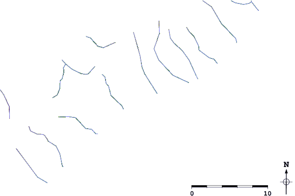
| Contours: | Roads & Rivers: | Select a
tide station / surf break / city |
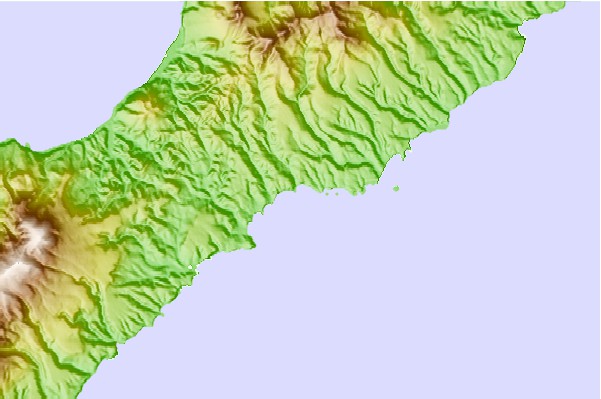
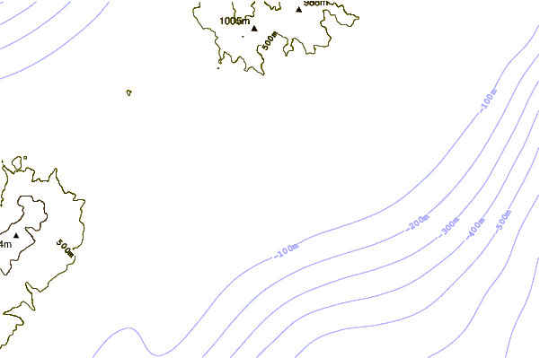
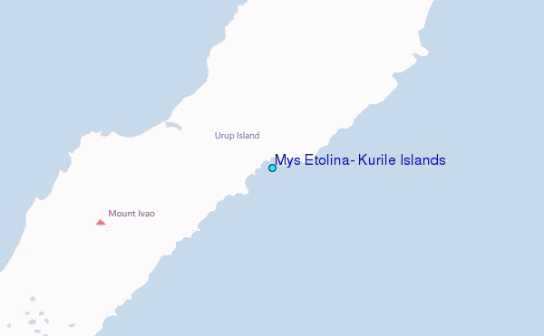
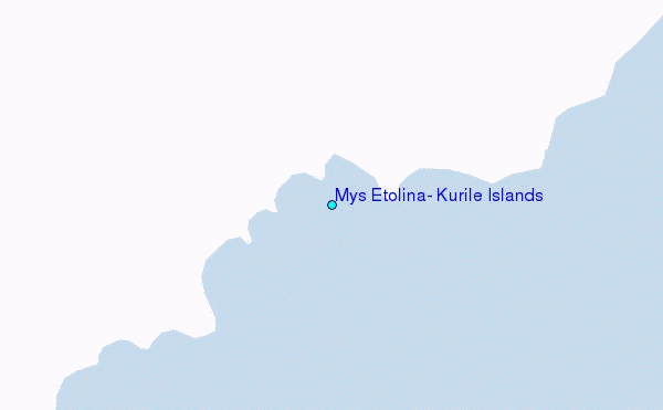
Use this relief map to navigate to tide stations, surf breaks and cities that are in the area of Mys Etolina, Kurile Islands.
Other Nearby Locations' tide tables and tide charts to Mys Etolina, Kurile Islands:
click location name for more details
 Surf breaks close to Mys Etolina, Kurile Islands:
|
||
|---|---|---|
| Closest surf break | Khalaktyrsky Beach | 637 mi |
| Second closest surf break | Choshi | 846 mi |
| Third closest surf break | Katagai | 866 mi |
| Fourth closest surf break | Livadia | 877 mi |
| Fifth closest surf break | Torami | 877 mi |

 Nearest
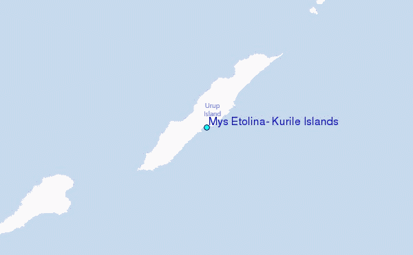