
| Distance / Altitude | Location | Report Date / Time | Live Weather | Wind | Gusts | Temp. | Visibility | Cloud |
|---|---|---|---|---|---|---|---|---|
| 29 km NW / 199 m | Saga Airport (Japan) | 2026-05-25 01:00 local (2026/05/24 16:00 GMT) | Dry and partly cloudy | calm (4 km/h at 280) | 23°C | 10.0 | few scattered broken | |
| 38 km ESE / 474 m | Kumamoto Airport (Japan) | 2026-05-25 01:00 local (2026/05/24 16:00 GMT) | Dry and cloudy | light winds from the ENE (15 km/h at 70) | 23°C | 10.0 | broken broken overcast | |
| 59 km S / 93 m | Kuratake (Japan) | 2026-05-25 02:00 local (2026/05/24 17:00 GMT) | - | calm (0 km/h at 303) | 22°C | - | - - 0 | |
| 60 km N / 41 m | Haruda wx (Japan) | 2026-05-25 02:02 local (2026/05/24 17:02 GMT) | dry | calm (0 km/h at 225) | 22°C | - | - - 0 | |
| 72 km N / 218 m | Fukuoka/Itazuke Airport (Japan) | 2026-05-25 01:30 local (2026/05/24 16:30 GMT) | Dry and partly cloudy | light winds from the ESE (9 km/h at 110) | 23°C | 10.0 | no cloud | |
| 75 km WNW / 10 m | Nabatake wx (Japan) | 2026-05-25 02:16 local (2026/05/24 17:16 GMT) | dry | calm (0 km/h at 292) | 21°C | - | - - 0 | |
| 99 km N / 9 m | Taku wx (Japan) | 2026-05-25 01:39 local (2026/05/24 16:39 GMT) | - | - (- km/h at ) | 24°C | - | - - 0 | |
| 103 km NNE / 25 m | Funakoshi wx (Japan) | 2026-05-25 02:47 local (2026/05/24 17:47 GMT) | dry | calm (0 km/h at 121) | 22°C | - | - - 0 | |
| 110 km NNE / 218 m | Kitakyushu Airport (Japan) | 2026-05-25 01:00 local (2026/05/24 16:00 GMT) | Dry and partly cloudy | light winds from the ENE (19 km/h at 70) | 21°C | 10.0 | scattered broken | |
| 112 km WNW / 16 m | Iki Airport (isl (Japan) | 2026-05-25 01:00 local (2026/05/24 16:00 GMT) | Dry and partly cloudy | light winds from the NNW.(Wind varies from 260 to 010 degs) (6 km/h at 330) | 20°C | 10.0 | few scattered broken |
| Contours: | Roads & Rivers: | Select a
tide station / surf break / city |
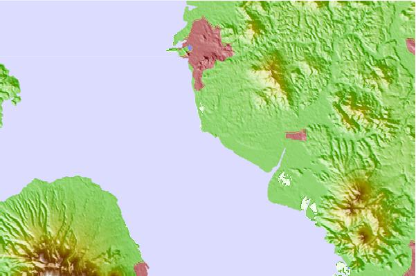
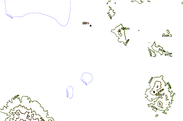
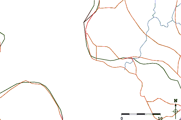
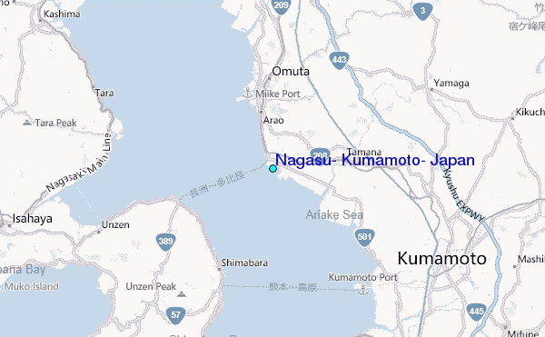
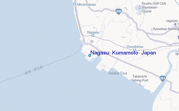
Use this relief map to navigate to tide stations, surf breaks and cities that are in the area of Nagasu, Kumamoto, Japan.
Other Nearby Locations' tide tables and tide charts to Nagasu, Kumamoto, Japan:
click location name for more details
 Surf breaks close to Nagasu, Kumamoto, Japan:
|
||
|---|---|---|
| Closest surf break | Nomozaki | 44 mi |
| Second closest surf break | Fukuoka | 47 mi |
| Third closest surf break | Kodogawa | 77 mi |
| Fourth closest surf break | Kanegahama | 78 mi |
| Fifth closest surf break | Okuragahama | 78 mi |


 Nearest
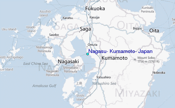