
| Distance / Altitude | Location | Report Date / Time | Live Weather | Wind | Gusts | Temp. | Visibility | Cloud |
|---|---|---|---|---|---|---|---|---|
| 13 km SE / 10 m | Nabatake wx (Japan) | 2025-12-26 10:22 local (2025/12/26 01:22 GMT) | dry | light winds from the NNW (13 km/h at 338) | 5°C | - | - - 0 | |
| 26 km NW / 16 m | Iki Airport (isl (Japan) | 2025-12-26 09:00 local (2025/12/26 00:00 GMT) | Dry and partly cloudy | moderate winds from the NNW.(Wind varies from 290 to 010 degs) (20 km/h at 330) | 1°C | 10.0 | few scattered | |
| 35 km SW / 59 m | Hirado Island (Japan) | 2025-12-26 10:00 local (2025/12/26 01:00 GMT) | - | light winds from the NNW (15 km/h at 340) | 3°C | 40 km | - no observation - | |
| 43 km S / 6 m | Sasebo (Japan) | 2025-12-26 10:00 local (2025/12/26 01:00 GMT) | - | light winds from the NNW (19 km/h at 330) | 4°C | 40 km | - no observation - | |
| 48 km E / 240 m | Fukuoka (Japan) | 2025-12-26 10:00 local (2025/12/26 01:00 GMT) | - | moderate winds from the NNW (24 km/h at 340) | 3°C | 40 km | no observation | |
| 51 km SE / 5 m | Saga (Japan) | 2025-12-26 10:00 local (2025/12/26 01:00 GMT) | - | moderate winds from the NNW (26 km/h at 330) | 3°C | 40 km | no observation | |
| 53 km E / 218 m | Fukuoka/Itazuke Airport (Japan) | 2025-12-26 09:30 local (2025/12/26 00:30 GMT) | Shower - in the vicinity | fresh winds from the NW (33 km/h at 320) | 2°C | 10.0 | few scattered broken | |
| 56 km ESE / 7 m | Metabaru Air Base Airport (Japan) | 2025-12-26 08:27 local (2025/12/25 23:27 GMT) | Shower light snow | light winds from the N (13 km/h at 350) | 2°C | 10.0 | few broken | |
| 59 km SE / 199 m | Saga Airport (Japan) | 2025-12-26 09:00 local (2025/12/26 00:00 GMT) | Dry and partly cloudy | moderate winds from the NW (22 km/h at 310) | 3°C | 10.0 | few broken broken | |
| 62 km E / 101 m | Tobitake wx (Japan) | 2025-12-26 08:51 local (2025/12/25 23:51 GMT) | - | light winds from the NNW (10 km/h at 346) | 2°C | - | - - 0 |
| Contours: | Roads & Rivers: | Select a
tide station / surf break / city |
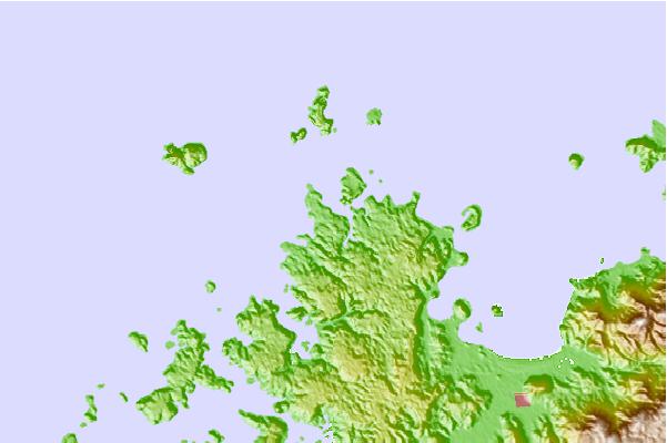
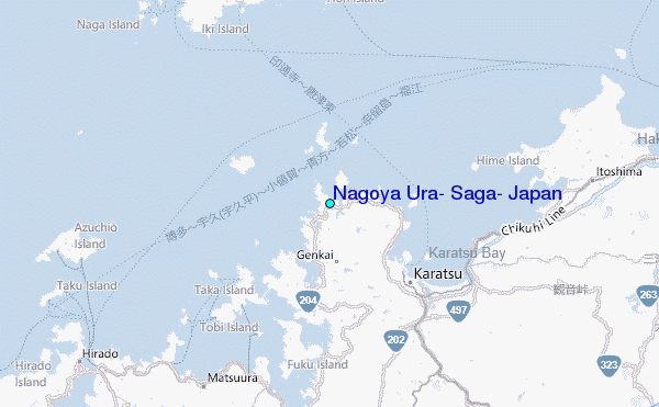
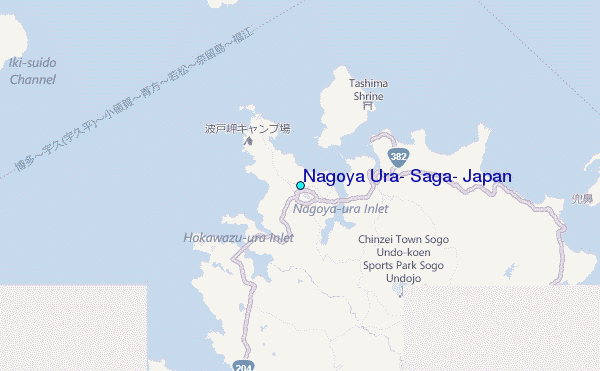
Use this relief map to navigate to tide stations, surf breaks and cities that are in the area of Nagoya Ura, Saga, Japan.
Other Nearby Locations' tide tables and tide charts to Nagoya Ura, Saga, Japan:
click location name for more details
 Surf breaks close to Nagoya Ura, Saga, Japan:
|
||
|---|---|---|
| Closest surf break | Fukuoka | 10 mi |
| Second closest surf break | Nomozaki | 50 mi |
| Third closest surf break | Busan (Haeundae Beach) | 119 mi |
| Fourth closest surf break | Kodogawa | 127 mi |
| Fifth closest surf break | Okuragahama | 129 mi |


 Nearest
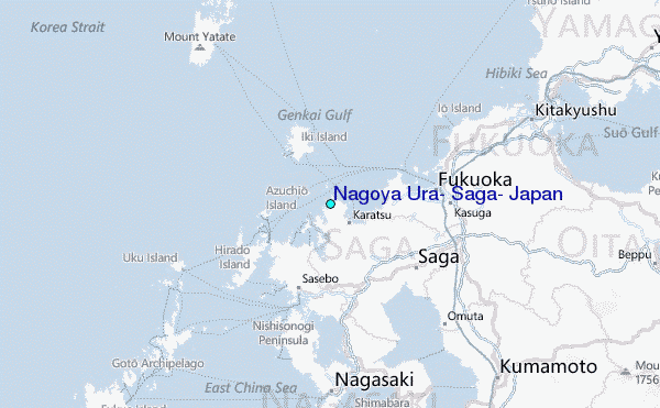