
| Distance / Altitude | Location | Report Date / Time | Live Weather | Wind | Gusts | Temp. | Visibility | Cloud |
|---|---|---|---|---|---|---|---|---|
| 6 km S / 218 m | Naha Airport (Japan) | 2026-05-03 22:30 local (2026/05/03 13:30 GMT) | Dry and partly cloudy | light winds from the SSW (17 km/h at 200) | 25°C | 10.0 | few scattered broken | |
| 10 km NE / 468 m | Futenma Airport (Japan) | 2026-05-03 21:56 local (2026/05/03 12:56 GMT) | Dry and partly cloudy | moderate winds from the SW (20 km/h at 220) | 26°C | 16 | broken broken | |
| 15 km NE / 13 m | Shido wx (Japan) | 2026-05-03 22:37 local (2026/05/03 13:37 GMT) | dry | wind obs. (11 kph from 145 degs) was rejected (- km/h at -) | 26°C | - | - - 0 | |
| 18 km NE / 217 m | Kadena Air Force Base Airport (Japan) | 2026-05-03 22:09 local (2026/05/03 13:09 GMT) | Dry and partly cloudy | moderate winds from the SW (20 km/h at 220) | 26°C | 16 | broken | |
| 38 km SSE / 15 m | ASCATB128E26N (Marine) | 2026-05-03 20:54 local (2026/05/03 11:54 GMT) | moderate winds from the SSW (20 km/h at 205) | — | - km | |||
| 56 km N / 73 m | Iejima Aux (usaf (Japan) | 2026-05-03 22:40 local (2026/05/03 13:40 GMT) | Thunderstorm - | light winds from the NNW (17 km/h at 330) | 22°C | 13 | broken broken overcast | |
| 70 km NW / 0 m | lightning 54km WNW of Nago (Japan) | 2026-05-03 22:18 local (2026/05/03 13:18 GMT) | Thunderstorm | (- km/h at -) | — | |||
| 76 km NW / 0 m | lightning 63km NW of Ishikawa (Japan) | 2026-05-03 22:18 local (2026/05/03 13:18 GMT) | Thunderstorm | (- km/h at -) | — | |||
| 76 km WSW / 0 m | lightning 77km W of Tomigusuku (Japan) | 2026-05-03 23:17 local (2026/05/03 14:17 GMT) | Thunderstorm | (- km/h at -) | — | |||
| 79 km SW / 15 m | ASCATB127E26N (Marine) | 2026-05-03 20:54 local (2026/05/03 11:54 GMT) | moderate winds from the SSW (27 km/h at 193) | — | - km |
| Contours: | Roads & Rivers: | Select a
tide station / surf break / city |
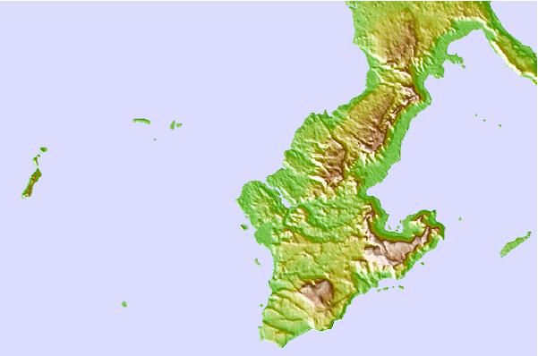
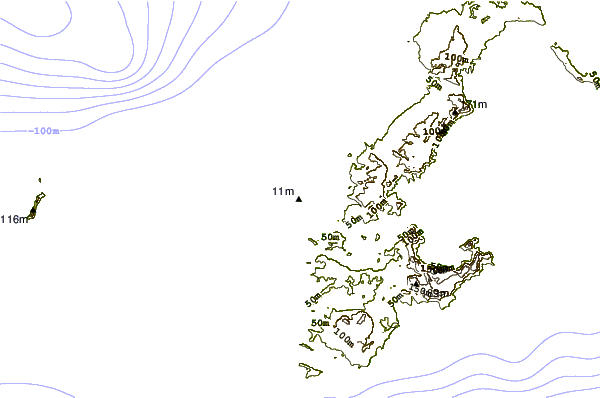
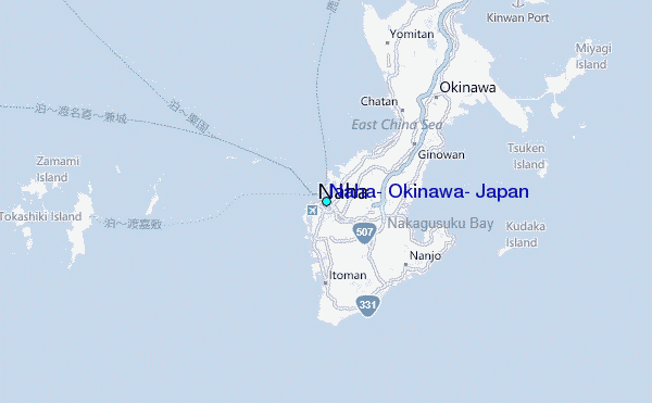
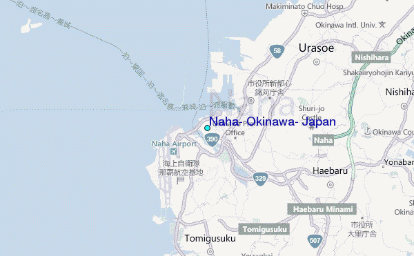
Use this relief map to navigate to tide stations, surf breaks and cities that are in the area of Naha, Okinawa, Japan.
Other Nearby Locations' tide tables and tide charts to Naha, Okinawa, Japan:
click location name for more details
 Surf breaks close to Naha, Okinawa, Japan:
|
||
|---|---|---|
| Closest surf break | Aja | 1 mi |
| Second closest surf break | Yonabaru | 6 mi |
| Third closest surf break | Steps | 9 mi |
| Fourth closest surf break | Suicide Cliffs | 9 mi |
| Fifth closest surf break | Turtles | 9 mi |


 Nearest
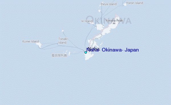