
| Distance / Altitude | Location | Report Date / Time | Live Weather | Wind | Gusts | Temp. | Visibility | Cloud |
|---|---|---|---|---|---|---|---|---|
| 218 km SSW / 212 m | Hopedale Airport (Newfoundland) | 2025-12-23 15:30 local (2025/12/23 19:00 GMT) | - | strong winds from the S (44 km/h at 180) | -15°C | 0.0 | ||
| 218 km SSW / 10 m | Hopedale (Aut)- Nfld (Canada) | 2025-12-23 14:30 local (2025/12/23 18:00 GMT) | - | - (- km/h at 320) | — | - | - | |
| 225 km SW / 472 m | Nain Airport (Newfoundland) | 2025-12-23 15:30 local (2025/12/23 19:00 GMT) | - | light winds from the W.(Wind varies from 190 to 300 degs) (9 km/h at 260) | -20°C | 24 | few few | |
| 226 km SW / 12 m | Nain- Nfld (Canada) | 2025-12-23 16:30 local (2025/12/23 20:00 GMT) | - | - (- km/h at -) | — | - | - - - | |
| 226 km S / 345 m | Makkovik Airport (Newfoundland) | 2025-12-23 15:30 local (2025/12/23 19:00 GMT) | - | light winds from the WSW (19 km/h at 240) | -17°C | 24 | few | |
| 372 km S / 14 m | Cartwright (Canada) | 2025-12-23 15:30 local (2025/12/23 19:00 GMT) | - | light winds from the SW (7 km/h at 230) | — | 36 km | - overcast - | |
| 375 km S / 12 m | Cartwright Airport (Newfoundland) | 2025-12-23 15:30 local (2025/12/23 19:00 GMT) | Dry and cloudy | moderate winds from the NW (24 km/h at 320) | -11°C | 14 | overcast | |
| 423 km NW / 3 m | SHIP7173 (Marine) | 2025-12-23 16:30 local (2025/12/23 20:00 GMT) | fresh winds from the W (37 km/h at 260) | -11°C | - | |||
| 423 km NW / 15 m | SHIP3999 (Marine) | 2025-12-23 16:30 local (2025/12/23 20:00 GMT) | fresh winds from the W (37.080000000000005 km/h at 260) | — | - km | |||
| 423 km NW / 3 m | SHIP2574 (Marine) | 2025-12-23 16:30 local (2025/12/23 20:00 GMT) | fresh winds from the W (37 km/h at 260) | -11°C | - |
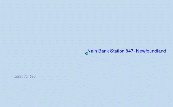
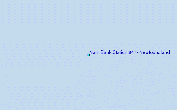
Choose Nain Bank Station 847, Newfoundland Location Map Zoom:
| Contours: | Roads & Rivers: | Select a
tide station / surf break / city |


Use this relief map to navigate to tide stations, surf breaks and cities that are in the area of Nain Bank Station 847, Newfoundland.
Other Nearby Locations' tide tables and tide charts to Nain Bank Station 847, Newfoundland:
click location name for more details
 Surf breaks close to Nain Bank Station 847, Newfoundland:
|
||
|---|---|---|
| Closest surf break | Ingonish Beach | 723 mi |
| Second closest surf break | Kennington Cove | 774 mi |
| Third closest surf break | Michaud Point | 798 mi |
| Fourth closest surf break | Martinique | 879 mi |
| Fifth closest surf break | Lawrencetown Left Point | 884 mi |


 Nearest