
| Distance / Altitude | Location | Report Date / Time | Live Weather | Wind | Gusts | Temp. | Visibility | Cloud |
|---|---|---|---|---|---|---|---|---|
| 0 km WSW / 12 m | Nain- Nfld (Canada) | 2025-12-20 13:00 local (2025/12/20 17:00 GMT) | - | - (- km/h at -) | — | - | - - - | |
| 2 km SSE / 472 m | Nain Airport (Newfoundland) | 2025-12-20 12:00 local (2025/12/20 16:00 GMT) | Moderate snow | gales from the NW (72 km/h at 310) | — | 0 | ||
| 153 km SE / 212 m | Hopedale Airport (Newfoundland) | 2025-12-20 12:00 local (2025/12/20 16:00 GMT) | - | strong winds from the S (41 km/h at 180) | -2°C | 0.0 | ||
| 153 km SE / 10 m | Hopedale (Aut)- Nfld (Canada) | 2025-12-20 13:00 local (2025/12/20 17:00 GMT) | - | - (- km/h at 320) | — | - | - | |
| 191 km N / 15 m | ASCATB299E58N (Marine) | 2025-12-20 11:06 local (2025/12/20 15:06 GMT) | gales from the N (71 km/h at 353) | — | - km | |||
| 214 km N / 15 m | ASCATB298E58N (Marine) | 2025-12-20 11:06 local (2025/12/20 15:06 GMT) | gales from the N (73 km/h at 358) | — | - km | |||
| 221 km N / 15 m | ASCATB298E59N (Marine) | 2025-12-20 11:06 local (2025/12/20 15:06 GMT) | severe gales from the N (75 km/h at 356) | — | - km | |||
| 225 km N / 15 m | ASCATB299E59N (Marine) | 2025-12-20 11:06 local (2025/12/20 15:06 GMT) | gales from the N (73 km/h at 358) | — | - km | |||
| 228 km SE / 345 m | Makkovik Airport (Newfoundland) | 2025-12-20 12:00 local (2025/12/20 16:00 GMT) | Dry and partly cloudy | gales from the SSW (69 km/h at 210) | 4°C | 24 | scattered scattered | |
| 258 km NNE / 15 m | ASCATB300E59N (Marine) | 2025-12-20 11:06 local (2025/12/20 15:06 GMT) | near gales from the NNE (57 km/h at 22) | — | - km |
| Contours: | Roads & Rivers: | Select a
tide station / surf break / city |
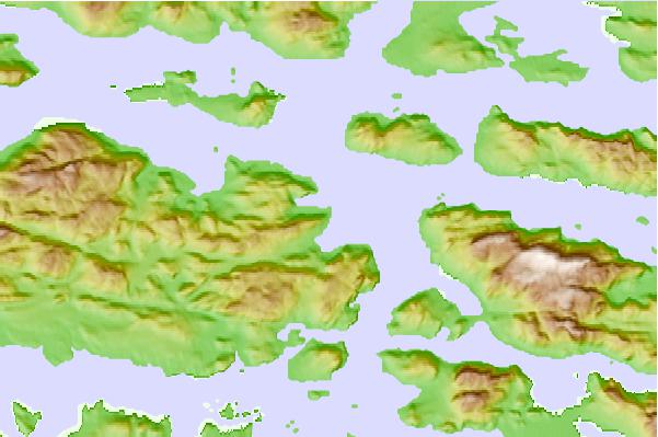

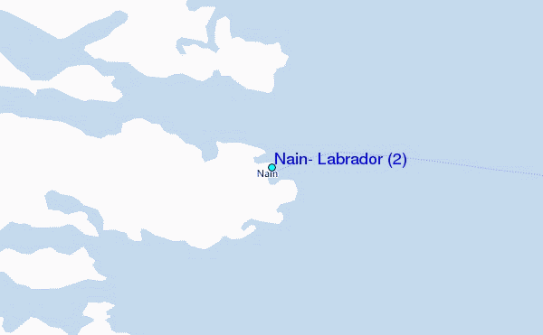
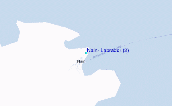
Use this relief map to navigate to tide stations, surf breaks and cities that are in the area of Nain, Labrador (2).
Other Nearby Locations' tide tables and tide charts to Nain, Labrador (2):
click location name for more details
 Surf breaks close to Nain, Labrador (2):
|
||
|---|---|---|
| Closest surf break | Ingonish Beach | 687 mi |
| Second closest surf break | Kennington Cove | 741 mi |
| Third closest surf break | Michaud Point | 761 mi |
| Fourth closest surf break | Martinique | 823 mi |
| Fifth closest surf break | Lawrencetown Left Point | 827 mi |


 Nearest
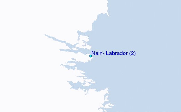