
| Distance / Altitude | Location | Report Date / Time | Live Weather | Wind | Gusts | Temp. | Visibility | Cloud |
|---|---|---|---|---|---|---|---|---|
| 1 km E / 472 m | Nain Airport (Newfoundland) | 2026-04-01 06:30 local (2026/04/01 09:00 GMT) | - | light winds from the WSW.(Wind varies from 190 to 330 degs) (17 km/h at 240) | -23°C | 24 | few | |
| 2 km N / 12 m | Nain- Nfld (Canada) | 2026-04-01 08:00 local (2026/04/01 10:30 GMT) | - | - (- km/h at -) | — | - | - - - | |
| 151 km SE / 212 m | Hopedale Airport (Newfoundland) | 2026-04-01 06:30 local (2026/04/01 09:00 GMT) | - | strong winds from the S (48 km/h at 180) | -21°C | 0.0 | ||
| 151 km SE / 10 m | Hopedale (Aut)- Nfld (Canada) | 2026-04-01 06:30 local (2026/04/01 09:00 GMT) | - | - (- km/h at 320) | — | - | - | |
| 206 km NW / 207 m | Saglek (bay) Airport (Newfoundland) | 2026-04-01 06:30 local (2026/04/01 09:00 GMT) | - | wind obs. (65 kph from 290 degs) was rejected (- km/h at -) | -22°C | 0 | ||
| 208 km NW / 82 m | Saglek Airport (Canada) | 2026-04-01 06:30 local (2026/04/01 09:00 GMT) | - | gales from the WNW (63 km/h at 290) | -22°C | - | no observation | |
| 227 km SE / 345 m | Makkovik Airport (Newfoundland) | 2026-04-01 06:30 local (2026/04/01 09:00 GMT) | - | moderate winds from the WSW (26 km/h at 240) | -21°C | 24 | few | |
| 365 km S / 440 m | ChurchillFallsA- Nfld (Canada) | 2026-04-01 07:30 local (2026/04/01 10:00 GMT) | - | wind obs. (7 kph from 250 degs) was rejected (- km/h at -) | — | 36 km | - clear - | |
| 367 km SSE / 216 m | Goose Bay Airport (Newfoundland) | 2026-04-01 06:30 local (2026/04/01 09:00 GMT) | Dry and partly cloudy | light winds from the W (15 km/h at 270) | — | 24 | few scattered scattered | |
| 368 km S / 711 m | Churchill Falls Airport (Newfoundland) | 2026-04-01 06:30 local (2026/04/01 09:00 GMT) | Clear | light winds from the NW (9 km/h at 320) | -29°C | 14 |
| Contours: | Roads & Rivers: | Select a
tide station / surf break / city |
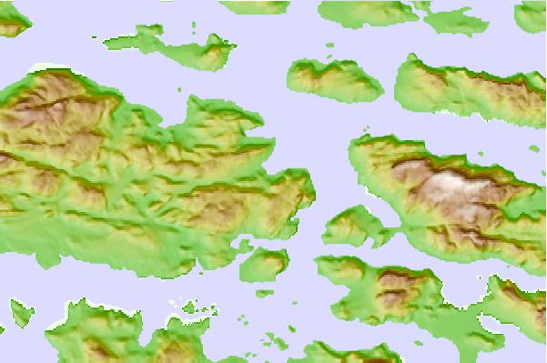
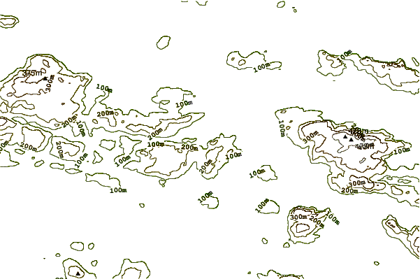
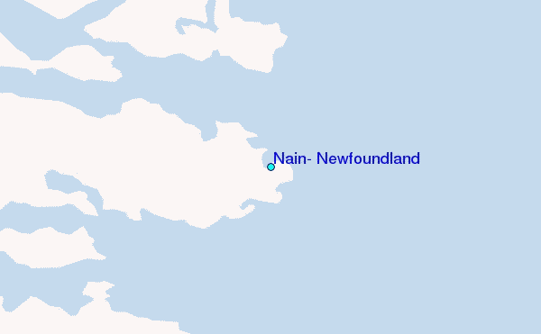
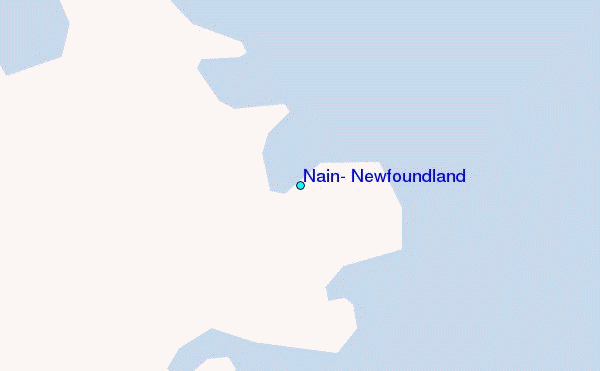
Use this relief map to navigate to tide stations, surf breaks and cities that are in the area of Nain, Newfoundland.
Other Nearby Locations' tide tables and tide charts to Nain, Newfoundland:
click location name for more details
 Surf breaks close to Nain, Newfoundland:
|
||
|---|---|---|
| Closest surf break | Ingonish Beach | 686 mi |
| Second closest surf break | Kennington Cove | 740 mi |
| Third closest surf break | Michaud Point | 759 mi |
| Fourth closest surf break | Martinique | 822 mi |
| Fifth closest surf break | Lawrencetown Left Point | 825 mi |


 Nearest
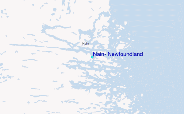