
| Distance / Altitude | Location | Report Date / Time | Live Weather | Wind | Gusts | Temp. | Visibility | Cloud |
|---|---|---|---|---|---|---|---|---|
| 91 km SW / 7 m | Nausori (Fiji) | 2026-05-07 02:10 local (2026/05/06 14:10 GMT) | no report | light winds from the SE (11 km/h at 130) | 25°C | 50 | - | |
| 91 km SW / 106 m | Nausori International Airport (Fiji/tonga/tuvalu) | 2026-05-07 01:00 local (2026/05/06 13:00 GMT) | Dry and partly cloudy | light winds from the ESE (13 km/h at 120) | 25°C | 10.0 | scattered | |
| 91 km SW / 106 m | Nausori International Airport (Fiji/tonga/tuvalu) | 2026-05-07 01:00 local (2026/05/06 13:00 GMT) | Dry and partly cloudy | light winds from the ESE (13 km/h at 120) | 25°C | 10.0 | scattered | |
| 153 km SSE / 5 m | Matuku (Fiji) | 2026-05-07 02:10 local (2026/05/06 14:10 GMT) | no report | light winds from the SSE (15 km/h at 160) | 25°C | - | - | |
| 188 km ENE / 52 m | Vanua Balavu (Fiji) | 2026-05-07 02:10 local (2026/05/06 14:10 GMT) | no report | light winds from the SSE (15 km/h at 160) | 25°C | - | - - - | |
| 196 km NNE / 63 m | Udu Point (Fiji) | 2026-05-07 02:10 local (2026/05/06 14:10 GMT) | no report | moderate winds from the SE (24 km/h at 140) | 26°C | - | - - - | |
| 198 km SW / 6 m | Sigatoka (Fiji) | 2026-05-07 02:19 local (2026/05/06 14:19 GMT) | dry | calm (0 km/h at ) | — | - | - - 0 | |
| 198 km ESE / 3 m | Lakemba Island (Fiji) | 2026-05-07 02:10 local (2026/05/06 14:10 GMT) | no report | wind obs. (7 kph from 160 degs) was rejected (- km/h at -) | 26°C | - | - - - | |
| 205 km WSW / 44 m | Nandi/Nadi International Airport (Fiji) | 2026-05-07 01:00 local (2026/05/06 13:00 GMT) | - | calm (0 km/h at 0) | 23°C | 10.0 | few | |
| 205 km WSW / 31 m | Nadi (Fiji) | 2026-05-07 02:10 local (2026/05/06 14:10 GMT) | no report | calm (4 km/h at 140) | 26°C | - | - |
| Contours: | Roads & Rivers: | Select a
tide station / surf break / city |
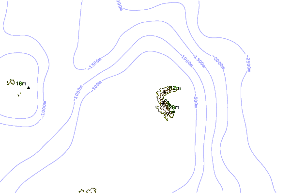

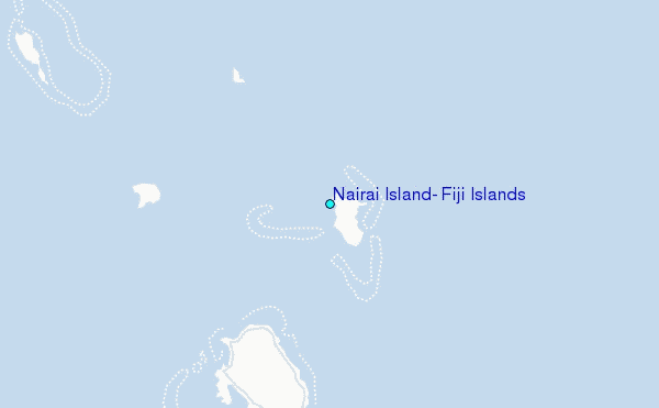
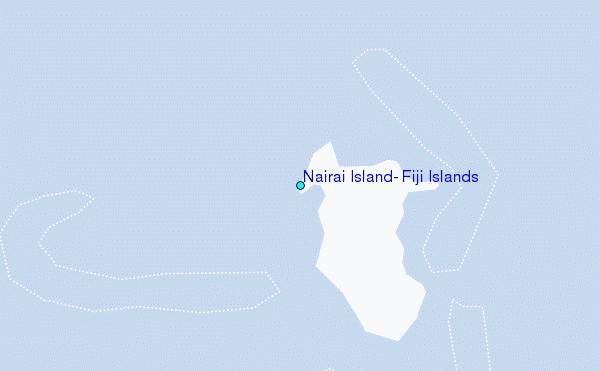
Use this relief map to navigate to tide stations, surf breaks and cities that are in the area of Nairai Island, Fiji Islands.
Other Nearby Locations' tide tables and tide charts to Nairai Island, Fiji Islands:
click location name for more details
 Surf breaks close to Nairai Island, Fiji Islands:
|
||
|---|---|---|
| Closest surf break | Lighthouse | 67 mi |
| Second closest surf break | Serua Rights | 100 mi |
| Third closest surf break | Frigates | 101 mi |
| Fourth closest surf break | Typhoon Alley | 101 mi |
| Fifth closest surf break | Waidroka | 101 mi |


 Nearest
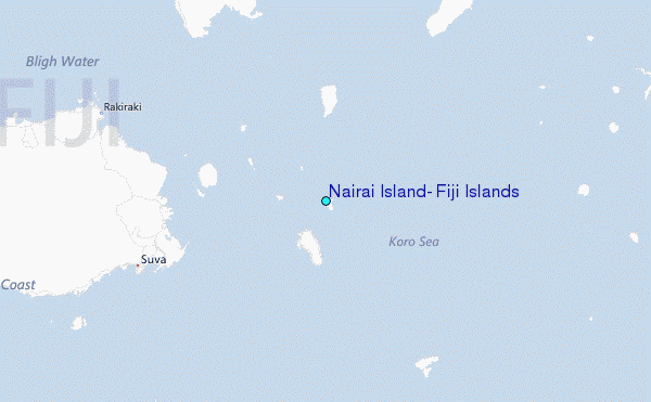