
| Distance / Altitude | Location | Report Date / Time | Live Weather | Wind | Gusts | Temp. | Visibility | Cloud |
|---|---|---|---|---|---|---|---|---|
| 224 km WNW / 211 m | Weno Island/Chuuk International Airport (Micronesia) | 2025-12-24 20:51 local (2025/12/24 10:51 GMT) | Dry and partly cloudy | light winds from the ENE (11 km/h at 60) | 28°C | 24 | few scattered | |
| 367 km E / 15 m | ASCATC156E6N (Marine) | 2025-12-24 20:29 local (2025/12/24 10:29 GMT) | fresh winds from the ENE (31 km/h at 64) | — | - km | |||
| 377 km ENE / 15 m | ASCATC156E7N (Marine) | 2025-12-24 20:29 local (2025/12/24 10:29 GMT) | fresh winds from the ENE (31 km/h at 61) | — | - km | |||
| 416 km E / 15 m | ASCATC157E6N (Marine) | 2025-12-24 20:29 local (2025/12/24 10:29 GMT) | fresh winds from the ENE (33 km/h at 74) | — | - km | |||
| 428 km E / 15 m | ASCATC157E5N (Marine) | 2025-12-24 20:29 local (2025/12/24 10:29 GMT) | moderate winds from the ENE (28 km/h at 63) | — | - km | |||
| 467 km ESE / 15 m | ASCATC157E4N (Marine) | 2025-12-24 20:29 local (2025/12/24 10:29 GMT) | light winds from the ENE (19 km/h at 64) | — | - km | |||
| 490 km ENE / 15 m | ASCATC157E7N (Marine) | 2025-12-24 20:29 local (2025/12/24 10:29 GMT) | fresh winds from the ENE (32 km/h at 63) | — | - km | |||
| 503 km ENE / 15 m | ASCATC158E7N (Marine) | 2025-12-24 20:29 local (2025/12/24 10:29 GMT) | fresh winds from the ENE (31 km/h at 61) | — | - km | |||
| 518 km E / 15 m | ASCATC158E6N (Marine) | 2025-12-24 20:29 local (2025/12/24 10:29 GMT) | moderate winds from the ENE (27 km/h at 59) | — | - km | |||
| 526 km ESE / 15 m | ASCATC158E4N (Marine) | 2025-12-24 20:29 local (2025/12/24 10:29 GMT) | light winds from the ENE (19 km/h at 71) | — | - km |
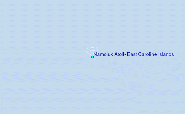
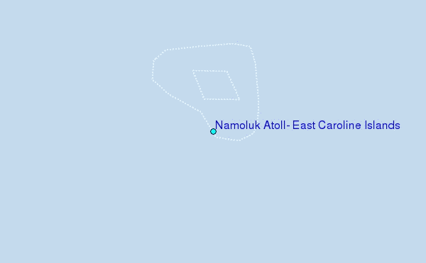
Choose Namoluk Atoll, East Caroline Islands Location Map Zoom:
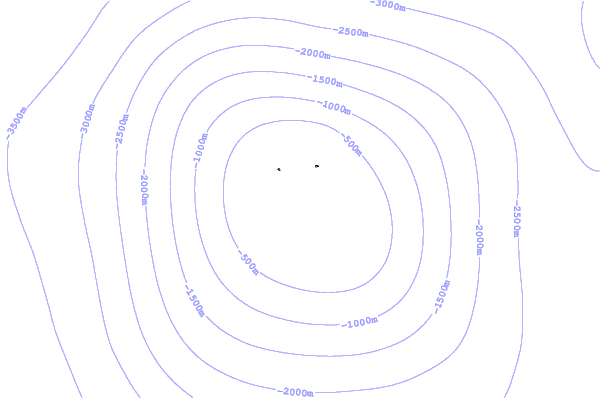
| Contours: | Roads & Rivers: | Select a
tide station / surf break / city |

Use this relief map to navigate to tide stations, surf breaks and cities that are in the area of Namoluk Atoll, East Caroline Islands.
Other Nearby Locations' tide tables and tide charts to Namoluk Atoll, East Caroline Islands:
click location name for more details
 Surf breaks close to Namoluk Atoll, East Caroline Islands:
|
||
|---|---|---|
| Closest surf break | Simberi Island | 592 mi |
| Second closest surf break | Kavieng Rights | 607 mi |
| Third closest surf break | Nusa | 608 mi |
| Fourth closest surf break | Piccinniny | 608 mi |
| Fifth closest surf break | Long Long | 609 mi |


 Nearest
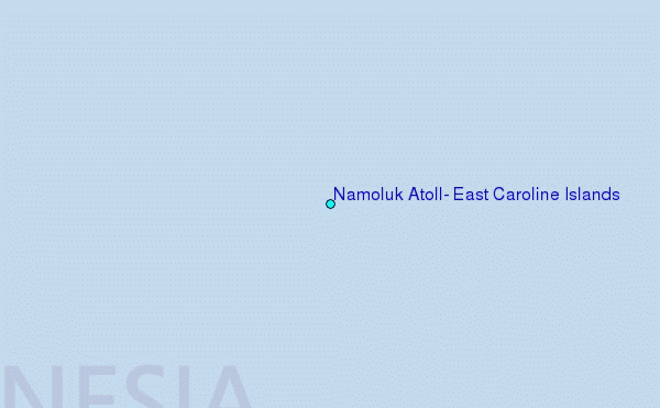