
| Distance / Altitude | Location | Report Date / Time | Live Weather | Wind | Gusts | Temp. | Visibility | Cloud |
|---|---|---|---|---|---|---|---|---|
| 225 km WNW / 211 m | Weno Island/Chuuk International Airport (Micronesia) | 2026-07-10 04:51 local (2026/07/09 18:51 GMT) | Dry and cloudy | light winds from the N (11 km/h at 10) | 29°C | 24 | few scattered overcast | |
| 335 km WNW / 330 m | LANDESOL (Spain) | 2026-07-10 06:00 local (2026/07/09 20:00 GMT) | - | wind obs. (0 kph from 354 degs) was rejected (- km/h at -) | — | - | - - 0 | |
| 574 km ENE / 192 m | Pohnpei Airport (Micronesia) | 2026-07-10 04:50 local (2026/07/09 18:50 GMT) | Dry and cloudy | calm (0 km/h at 0) | 25°C | 24 | broken overcast overcast | |
| 650 km SE / 7 m | Cassidy International Airport (Kiribati) | 2026-07-10 05:00 local (2026/07/09 19:00 GMT) | Dry and partly cloudy | wind obs. (7 kph from 90 degs) was rejected (- km/h at -) | 31°C | 10.0 | few scattered | |
| 932 km NW / 15 m | SHIP7199 (Marine) | 2026-07-10 04:00 local (2026/07/09 18:00 GMT) | moderate winds from the NE (24.12 km/h at 40) | 28°C | 17.7 km | |||
| 927 km NW / 15 m | SHIP5972 (Marine) | 2026-07-10 04:00 local (2026/07/09 18:00 GMT) | moderate winds from the NE (24.12 km/h at 40) | 28°C | 17.7 km | |||
| 927 km NW / 15 m | SHIP2105 (Marine) | 2026-07-10 04:00 local (2026/07/09 18:00 GMT) | moderate winds from the NE (24.12 km/h at 40) | 28°C | 17.7 km | |||
| 971 km S / 4 m | Kavieng W.o. (Papua New Guinea) | 2026-07-10 05:00 local (2026/07/09 19:00 GMT) | no report | moderate winds from the S (22 km/h at 180) | 30°C | 30 | - | |
| 1206 km S / 15 m | SHIP2103 (Marine) | 2026-07-10 04:00 local (2026/07/09 18:00 GMT) | light winds from the E (18.36 km/h at 80) | 30°C | 17.7 km | |||
| 1206 km S / 3 m | SHIP7188 (Marine) | 2026-07-10 04:00 local (2026/07/09 18:00 GMT) | light winds from the E (18 km/h at 80) | 28°C | 20.4 |
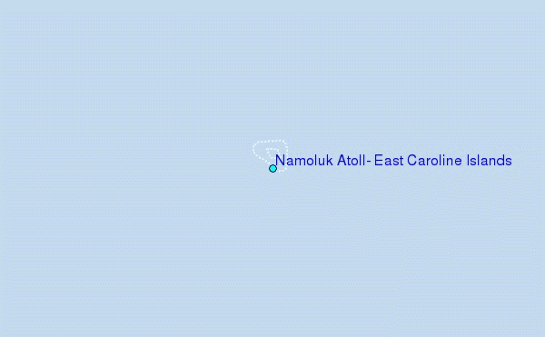
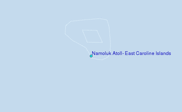
Choose Namoluk Atoll, East Caroline Islands Location Map Zoom:
| Contours: | Roads & Rivers: | Select a
tide station / surf break / city |
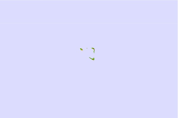

Use this relief map to navigate to tide stations, surf breaks and cities that are in the area of Namoluk Atoll, East Caroline Islands.
Other Nearby Locations' tide tables and tide charts to Namoluk Atoll, East Caroline Islands:
click location name for more details
 Surf breaks close to Namoluk Atoll, East Caroline Islands:
|
||
|---|---|---|
| Closest surf break | Simberi Island | 592 mi |
| Second closest surf break | Kavieng Rights | 607 mi |
| Third closest surf break | Nusa | 608 mi |
| Fourth closest surf break | Piccinniny | 608 mi |
| Fifth closest surf break | Long Long | 609 mi |


 Nearest