
| Distance / Altitude | Location | Report Date / Time | Live Weather | Wind | Gusts | Temp. | Visibility | Cloud |
|---|---|---|---|---|---|---|---|---|
| 4 km NNE / 15 m | SHIP3499 (Marine) | 2026-06-01 02:00 local (2026/06/01 09:00 GMT) | - (- km/h at -) | — | - km | |||
| 10 km NW / 5 m | Ballenas Island Automatic (British columbia) | 2026-06-01 03:00 local (2026/06/01 10:00 GMT) | - | strong winds from the W (39 km/h at 270) | 14°C | 0.0 | ||
| 10 km NW / 10 m | Ballenas Island- BC (Canada) | 2026-06-01 02:00 local (2026/06/01 09:00 GMT) | no report | wind obs. (22 kph from 240 degs) was rejected (- km/h at -) | 17°C | - | - | |
| 10 km NW / 5 m | Ballenas Island Automatic (British columbia) | 2026-06-01 02:00 local (2026/06/01 09:00 GMT) | - | fresh winds from the W (37 km/h at 270) | 15°C | 0.0 | ||
| 13 km SSE / 194 m | Nanaimo (British Columbia) | 2026-06-01 03:33 local (2026/06/01 10:33 GMT) | dry | wind obs. (10 kph from 326 degs) was rejected (- km/h at -) | 15°C | - | - - 0 | |
| 10 km NW / 5 m | Ballenas Island Automatic (British columbia) | 2026-06-01 03:00 local (2026/06/01 10:00 GMT) | - | strong winds from the W (39 km/h at 270) | 14°C | 0.0 | ||
| 10 km ENE / 15 m | SHIP6785 (Marine) | 2026-06-01 02:00 local (2026/06/01 09:00 GMT) | fresh winds from the W (37.080000000000005 km/h at 280) | 12°C | 17.7 km | |||
| 10 km NW / 10 m | Ballenas Island- BC (Canada) | 2026-06-01 02:00 local (2026/06/01 09:00 GMT) | no report | wind obs. (22 kph from 240 degs) was rejected (- km/h at -) | 17°C | - | - | |
| 10 km NW / 5 m | Ballenas Island Automatic (British columbia) | 2026-06-01 02:00 local (2026/06/01 09:00 GMT) | - | fresh winds from the W (37 km/h at 270) | 15°C | 0.0 | ||
| 10 km ENE / 15 m | SHIP3508 (Marine) | 2026-06-01 02:00 local (2026/06/01 09:00 GMT) | fresh winds from the W (37.080000000000005 km/h at 280) | 12°C | 17.7 km |
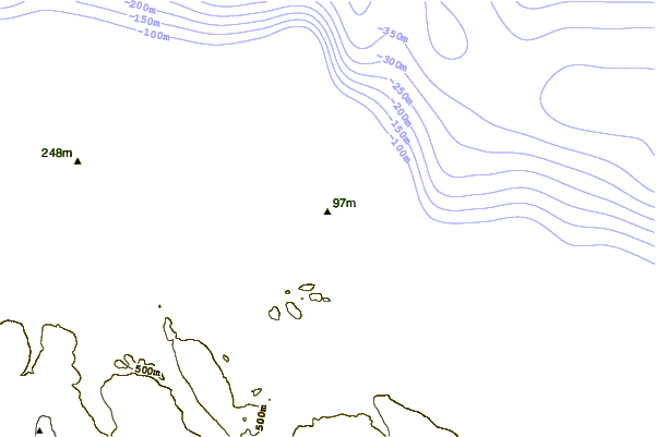
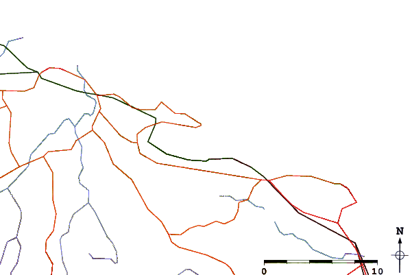
| Contours: | Roads & Rivers: | Select a
tide station / surf break / city |
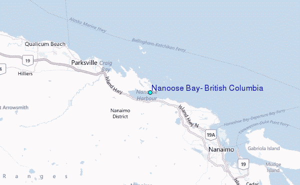
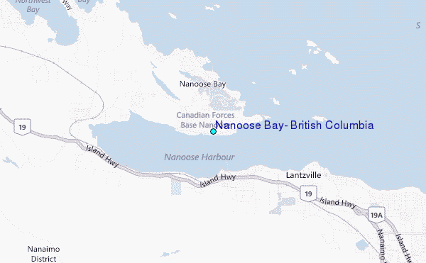
Use this relief map to navigate to tide stations, surf breaks and cities that are in the area of Nanoose Bay, British Columbia.
Other Nearby Locations' tide tables and tide charts to Nanoose Bay, British Columbia:
click location name for more details
 Surf breaks close to Nanoose Bay, British Columbia:
|
||
|---|---|---|
| Closest surf break | Ambleside Park | 45 mi |
| Second closest surf break | Port Renfrew | 53 mi |
| Third closest surf break | Sombrio Beach | 57 mi |
| Fourth closest surf break | China Beach | 58 mi |
| Fifth closest surf break | Jordan River | 61 mi |


 Nearest
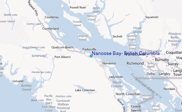