
| Distance / Altitude | Location | Report Date / Time | Live Weather | Wind | Gusts | Temp. | Visibility | Cloud |
|---|---|---|---|---|---|---|---|---|
| 15 km SSE / 16 m | Angissoq (Greenland) | 2025-12-25 18:00 local (2025/12/25 21:00 GMT) | no report | light winds from the NW (13 km/h at 310) | 3°C | - | - | |
| 116 km E / 75 m | Ikerasassuaq (Prins Christian Sund) (Greenland) | 2025-12-25 18:00 local (2025/12/25 21:00 GMT) | - | light winds from the NW (7 km/h at 310) | — | - | - - - | |
| 117 km N / 391 m | Narssarssuaq Airport (Greenland) | 2025-12-25 17:20 local (2025/12/25 20:20 GMT) | - | light winds from the ENE.(Wind varies from 040 to 100 degs) (11 km/h at 70) | — | 10.0 | no cloud clear - | |
| 191 km W / 33 m | Nunarssuit (Greenland) | 2025-12-25 18:00 local (2025/12/25 21:00 GMT) | no report | wind obs. (13 kph from 150 degs) was rejected (- km/h at -) | 2°C | - | - | |
| 266 km NE / 42 m | Ikermiuarssuk (Greenland) | 2025-12-25 18:00 local (2025/12/25 21:00 GMT) | - | calm (4 km/h at 280) | — | - | - | |
| 319 km WNW / 36 m | Mittarfik Paamiut (Frederikshaab Lufthavn) (Greenland) | 2025-12-25 18:00 local (2025/12/25 21:00 GMT) | - | light winds from the SE (13 km/h at 140) | — | 23 | - | |
| 320 km E / 3 m | BUOY-44078 (Marine) | 2025-12-25 16:00 local (2025/12/25 19:00 GMT) | fresh winds from the W (36 km/h at 270) | 2°C | - | |||
| 389 km WNW / 22 m | Ukiivit (Greenland) | 2025-12-25 18:00 local (2025/12/25 21:00 GMT) | - | wind obs. (9 kph from 180 degs) was rejected (- km/h at -) | — | - | - | |
| 564 km WNW / 213 m | Godthaabnuuk (Greenland) | 2025-12-25 18:00 local (2025/12/25 21:00 GMT) | continuous light rain | moderate winds from the SE (24 km/h at 140) | 1°C | 9 | few overcast - | |
| 579 km NNE / 80 m | Ikermiit (Greenland) | 2025-12-25 18:00 local (2025/12/25 21:00 GMT) | - | wind obs. (2 kph from 310 degs) was rejected (- km/h at -) | — | - | - - - |
| Contours: | Roads & Rivers: | Select a
tide station / surf break / city |
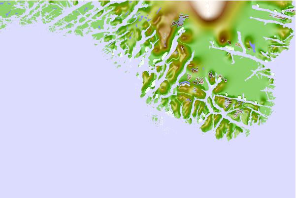
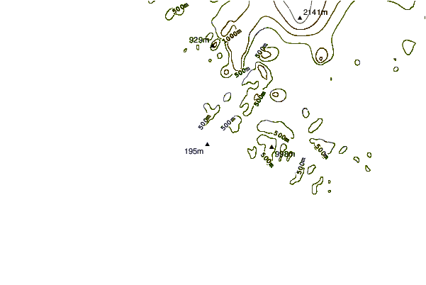
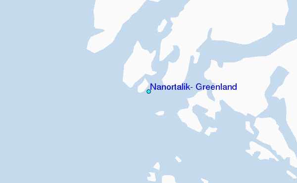
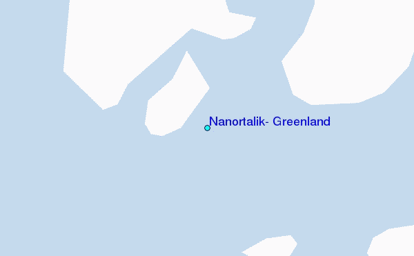
Use this relief map to navigate to tide stations, surf breaks and cities that are in the area of Nanortalik, Greenland.
Other Nearby Locations' tide tables and tide charts to Nanortalik, Greenland:
click location name for more details
 Surf breaks close to Nanortalik, Greenland:
|
||
|---|---|---|
| Closest surf break | Hafnir | 773 mi |
| Second closest surf break | Sandvik | 774 mi |
| Third closest surf break | Garur | 774 mi |
| Fourth closest surf break | Grindavik Antenas | 779 mi |
| Fifth closest surf break | Grindavik Lighthouse ( Hopsnesta) | 780 mi |


 Nearest
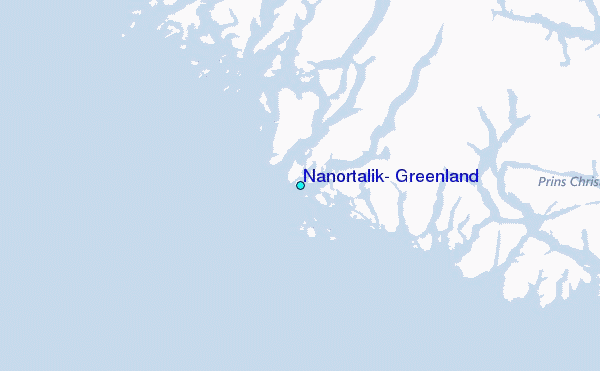