
| Distance / Altitude | Location | Report Date / Time | Live Weather | Wind | Gusts | Temp. | Visibility | Cloud |
|---|---|---|---|---|---|---|---|---|
| 12 km SW / 7 m | NassauAirportNew Providence (Bahamas) | 2026-05-29 11:00 local (2026/05/29 15:00 GMT) | Distant precipitation but not falling at station | light winds from the S (13 km/h at 190) | 28°C | 35 km | mostly cloudy | |
| 13 km SW / 204 m | Nassau International Airport (Bahamas) | 2026-05-29 11:00 local (2026/05/29 15:00 GMT) | Shower - in the vicinity | light winds from the S.(Wind varies from 150 to 240 degs) (13 km/h at 190) | 28°C | 10.0 | scattered broken | |
| 62 km SSW / 2 m | Andros Town (Bahamas) | 2026-05-29 11:00 local (2026/05/29 15:00 GMT) | - | light winds from the SE.(Wind varies from 100 to 190 degs) (15 km/h at 140) | 29°C | 10.0 | ||
| 103 km N / 3 m | SHIP5029 (Marine) | 2026-05-29 11:00 local (2026/05/29 15:00 GMT) | - (- km/h at -) | 27°C | - | |||
| 103 km N / 15 m | SHIP3673 (Marine) | 2026-05-29 11:00 local (2026/05/29 15:00 GMT) | - (- km/h at -) | — | - km | |||
| 103 km N / 15 m | SHIP2814 (Marine) | 2026-05-29 12:00 local (2026/05/29 16:00 GMT) | - (- km/h at -) | — | - km | |||
| 103 km N / 15 m | SHIP6138 (Marine) | 2026-05-29 10:00 local (2026/05/29 14:00 GMT) | - (- km/h at -) | — | - km | |||
| 103 km N / 3 m | SHIP3066 (Marine) | 2026-05-29 10:00 local (2026/05/29 14:00 GMT) | - (- km/h at -) | 27°C | - | |||
| 103 km N / 3 m | SHIP10239 (Marine) | 2026-05-29 11:00 local (2026/05/29 15:00 GMT) | - (- km/h at -) | 27°C | - | |||
| 103 km N / 3 m | SHIP2993 (Marine) | 2026-05-29 10:00 local (2026/05/29 14:00 GMT) | - (- km/h at -) | 27°C | - |
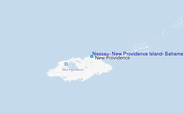
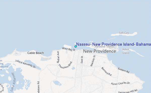
Choose Nassau, New Providence Island, Bahamas Location Map Zoom:
| Contours: | Roads & Rivers: | Select a
tide station / surf break / city |
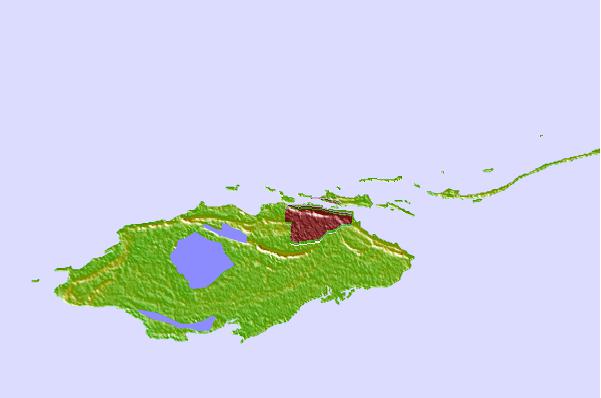
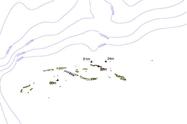
Use this relief map to navigate to tide stations, surf breaks and cities that are in the area of Nassau, New Providence Island, Bahamas.
Other Nearby Locations' tide tables and tide charts to Nassau, New Providence Island, Bahamas:
click location name for more details
 Surf breaks close to Nassau, New Providence Island, Bahamas:
|
||
|---|---|---|
| Closest surf break | Paradise Island | 1 mi |
| Second closest surf break | Egg Island | 46 mi |
| Third closest surf break | Whale Point Cut | 53 mi |
| Fourth closest surf break | Holiday Beach | 54 mi |
| Fifth closest surf break | Surfers Beach | 56 mi |


 Nearest
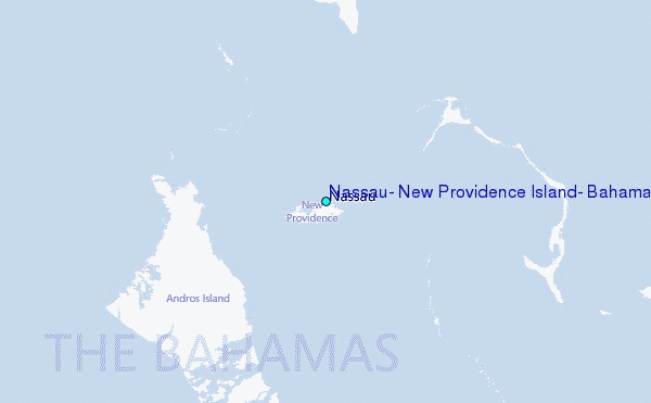