
| Distance / Altitude | Location | Report Date / Time | Live Weather | Wind | Gusts | Temp. | Visibility | Cloud |
|---|---|---|---|---|---|---|---|---|
| 34 km SE / 12 m | Mary s Harbour- Nfld (Canada) | 2025-12-25 17:30 local (2025/12/25 21:00 GMT) | - | wind obs. (22 kph from 250 degs) was rejected (- km/h at -) | — | - | - | |
| 35 km SSE / 217 m | Mary's Harbour Airport (Newfoundland) | 2025-12-25 18:30 local (2025/12/25 22:00 GMT) | Light snow | fresh winds from the NNW (33 km/h at 340) | — | 2 | ||
| 129 km S / 33 m | St.Anthony-Nfld (Canada) | 2025-12-25 17:30 local (2025/12/25 21:00 GMT) | - | wind obs. (40 kph from 230 degs) was rejected (- km/h at -) | — | 1.2 km | - overcast - | |
| 130 km S / 196 m | Saint Anthony Airport (Newfoundland) | 2025-12-25 18:39 local (2025/12/25 22:09 GMT) | Moderate snow | near gales from the N (61 km/h at 350) | — | 1 | ||
| 140 km NW / 12 m | Cartwright Airport (Newfoundland) | 2025-12-25 18:53 local (2025/12/25 22:23 GMT) | Dry and cloudy | light winds from the NNW (19 km/h at 330) | -13°C | 14 | broken overcast | |
| 142 km S / 216 m | Blanc Sablon Airport (Quebec) | 2025-12-25 18:30 local (2025/12/25 22:00 GMT) | Light snow | strong winds from the NNE (41 km/h at 20) | -8°C | 24 | overcast | |
| 143 km NW / 14 m | Cartwright (Canada) | 2025-12-25 17:30 local (2025/12/25 21:00 GMT) | - | wind obs. (7 kph from 230 degs) was rejected (- km/h at -) | — | 36 km | - mostly cloudy - | |
| 143 km S / 37 m | LourdesDEBlanc Sablon A- Que (Canada) | 2025-12-25 17:30 local (2025/12/25 21:00 GMT) | - | strong winds from the NNE (48 km/h at 30) | — | 44 km | - overcast - | |
| 184 km S / 6 m | FerollePoint(Aut)- Nfld (Canada) | 2025-12-25 18:30 local (2025/12/25 22:00 GMT) | - | wind obs. (50 kph from 200 degs) was rejected (- km/h at -) | — | - | - no observation - | |
| 184 km S / 216 m | Ferolle Point Airport (Newfoundland) | 2025-12-25 18:30 local (2025/12/25 22:00 GMT) | - | gales from the NNE (67 km/h at 30) | -5°C | 0.0 |
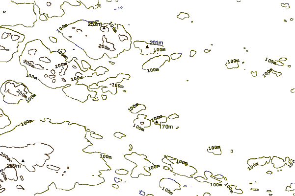
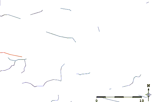
| Contours: | Roads & Rivers: | Select a
tide station / surf break / city |
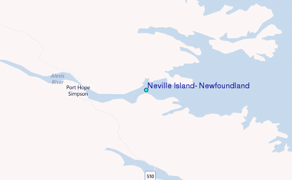
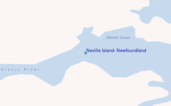
Use this relief map to navigate to tide stations, surf breaks and cities that are in the area of Neville Island, Newfoundland.
Other Nearby Locations' tide tables and tide charts to Neville Island, Newfoundland:
click location name for more details
 Surf breaks close to Neville Island, Newfoundland:
|
||
|---|---|---|
| Closest surf break | Ingonish Beach | 451 mi |
| Second closest surf break | Kennington Cove | 495 mi |
| Third closest surf break | Michaud Point | 525 mi |
| Fourth closest surf break | Martinique | 631 mi |
| Fifth closest surf break | Lawrencetown Left Point | 638 mi |


 Nearest
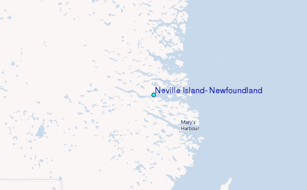