
| Distance / Altitude | Location | Report Date / Time | Live Weather | Wind | Gusts | Temp. | Visibility | Cloud |
|---|---|---|---|---|---|---|---|---|
| 27 km E / 339 m | Puvirnituq Airport (Quebec) | 2026-02-13 02:37 local (2026/02/13 07:37 GMT) | Light snow | light winds from the SSE (17 km/h at 160) | -11°C | 3 | overcast | |
| 267 km NE / 503 m | Parc National Des Pingualuit- Que (Canada) | 2026-02-13 03:00 local (2026/02/13 08:00 GMT) | - | wind obs. (22 kph from 240 degs) was rejected (- km/h at -) | — | - | - | |
| 360 km SE / 171 m | Riviere Aux Feuilles- Que (Canada) | 2026-02-13 02:00 local (2026/02/13 07:00 GMT) | - | wind obs. (40 kph from 260 degs) was rejected (- km/h at -) | — | - | - | |
| 396 km S / 34 m | Sanikiluaq (Canada) | 2026-02-13 01:00 local (2026/02/13 06:00 GMT) | - | wind obs. (40 kph from 260 degs) was rejected (- km/h at -) | — | - | - - - | |
| 461 km ENE / 264 m | Quaqtaq Airport (Quebec) | 2026-02-13 02:06 local (2026/02/13 07:06 GMT) | Mist - | light winds from the E (17 km/h at 100) | -8°C | 1 | overcast | |
| 474 km N / 217 m | Cape Dorset Airport (N.w. Territories) | 2026-02-13 02:11 local (2026/02/13 07:11 GMT) | Light snow | light winds from the NNE (13 km/h at 30) | -15°C | 5 | overcast | |
| 476 km N / 50 m | Cape Dorset Climate- NU (Canada) | 2026-02-13 01:00 local (2026/02/13 06:00 GMT) | - | moderate winds from the ENE (22 km/h at 70) | — | - | - - - | |
| 526 km S / 12 m | Kuujjuarapik Arpt (Canada) | 2026-02-13 03:00 local (2026/02/13 08:00 GMT) | - | calm (4 km/h at 310) | — | - | - | |
| 527 km S / 164 m | Kuujjuarapik Airport (Quebec) | 2026-02-13 02:00 local (2026/02/13 07:00 GMT) | Clear | light winds from the N (6 km/h at 1) | -24°C | 14 | ||
| 552 km NW / 215 m | Coral Harbour Airport (N.w. Territories) | 2026-02-13 02:00 local (2026/02/13 07:00 GMT) | - | light winds from the N (17 km/h at 360) | — | 24 |
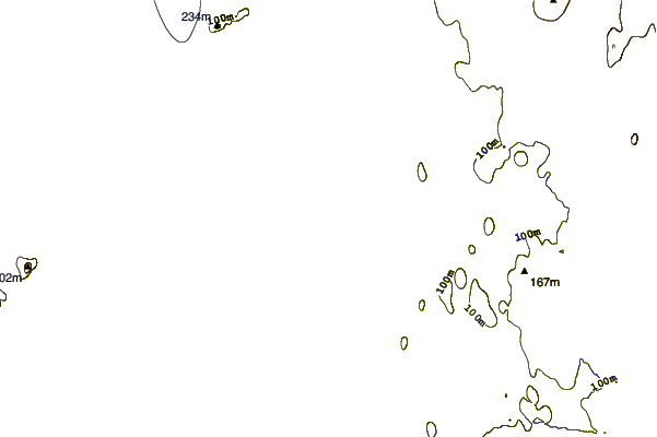
| Contours: | Roads & Rivers: | Select a
tide station / surf break / city |
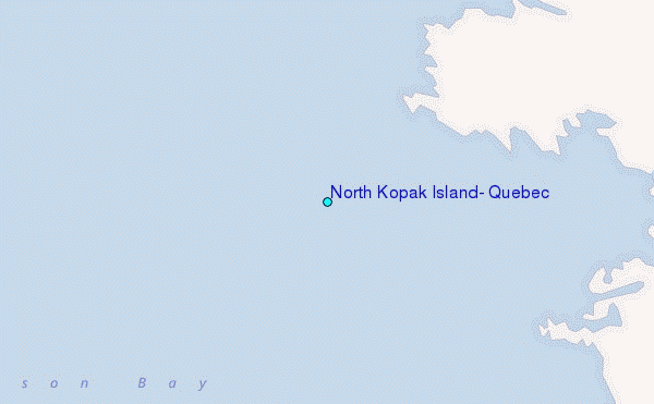
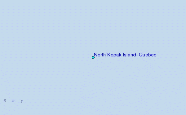
Use this relief map to navigate to tide stations, surf breaks and cities that are in the area of North Kopak Island, Quebec.
Other Nearby Locations' tide tables and tide charts to North Kopak Island, Quebec:
click location name for more details
 Surf breaks close to North Kopak Island, Quebec:
|
||
|---|---|---|
| Closest surf break | Marathon | 854 mi |
| Second closest surf break | Alona Bay | 931 mi |
| Third closest surf break | Keweenaw Peninsula | 963 mi |
| Fourth closest surf break | Au Sable Point | 982 mi |
| Fifth closest surf break | Grand Marias | 983 mi |


 Nearest
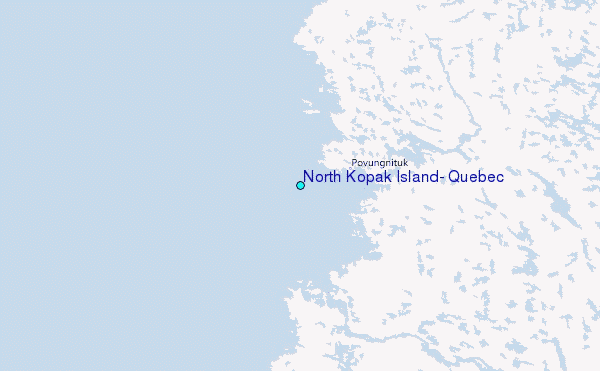