
| Distance / Altitude | Location | Report Date / Time | Live Weather | Wind | Gusts | Temp. | Visibility | Cloud |
|---|---|---|---|---|---|---|---|---|
| 245 km SSE / 216 m | Resolute Airport (N.w. Territories) | 2024-07-26 20:38 local (2024/07/27 00:38 GMT) | Mist - | light winds from the WNW (9 km/h at 290) | 0°C | 2 | overcast | |
| 245 km SSE / 30 m | Resolute CS Airport (Nunavut) | 2024-07-26 21:00 local (2024/07/27 01:00 GMT) | no report | light winds from the WNW (7 km/h at 290) | 1°C | 0.0 | - - - | |
| 245 km SSE / 139 m | Resolute (Canada) | 2024-07-26 20:00 local (2024/07/27 00:00 GMT) | - | light winds from the WNW (19 km/h at 290) | 0°C | - | no observation | |
| 246 km SSE / 30 m | Resolute (Canada) | 2024-07-26 21:00 local (2024/07/27 01:00 GMT) | no report | light winds from the W (7 km/h at 270) | 0°C | - | - - - | |
| 293 km SW / 15 m | ReaPoint-NU (Canada) | 2024-07-26 20:00 local (2024/07/27 00:00 GMT) | no report | light winds from the SSE (14 km/h at 160) | 0°C | - | - no observation - | |
| 293 km SW / 12 m | Rae Point (Nunavut) | 2024-07-26 20:00 local (2024/07/27 00:00 GMT) | - | light winds from the SSE (11 km/h at 160) | 0°C | 0.0 | ||
| 359 km E / 44 m | Grise Fiord Climate- NU (Canada) | 2024-07-26 20:00 local (2024/07/27 00:00 GMT) | no report | calm (4 km/h at 130) | 1°C | - | - | |
| 375 km SE / 15 m | ASCATB271E74N (Marine) | 2024-07-26 19:02 local (2024/07/26 23:02 GMT) | fresh winds from the WNW (33 km/h at 283) | — | - km | |||
| 385 km SE / 15 m | ASCATB272E74N (Marine) | 2024-07-26 19:02 local (2024/07/26 23:02 GMT) | fresh winds from the WNW (35 km/h at 285) | — | - km | |||
| 422 km SSW / 11 m | Stefansson Island- NU (Canada) | 2024-07-26 21:00 local (2024/07/27 01:00 GMT) | no report | light winds from the SW (18 km/h at 230) | — | - | - |
| Contours: | Roads & Rivers: | Select a
tide station / surf break / city |
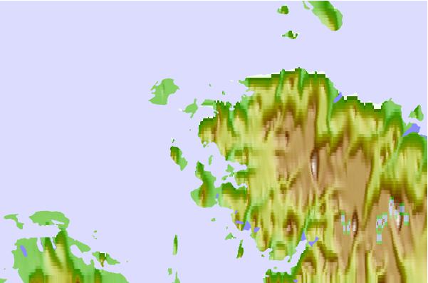
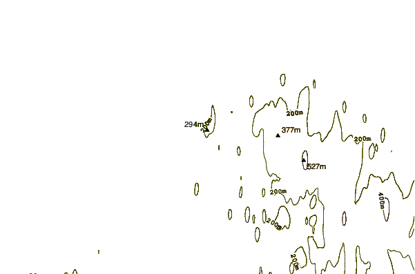
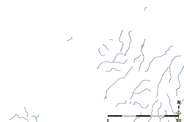
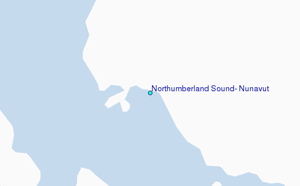
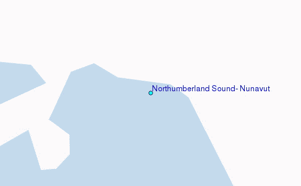
Use this relief map to navigate to tide stations, surf breaks and cities that are in the area of Northumberland Sound, Nunavut.
Other Nearby Locations' tide tables and tide charts to Northumberland Sound, Nunavut:
click location name for more details
 Surf breaks close to Northumberland Sound, Nunavut:
|
||
|---|---|---|
| Closest surf break | Graveyards | 1562 mi |
| Second closest surf break | Ocean Cape | 1564 mi |
| Third closest surf break | Cannon Beach | 1565 mi |
| Fourth closest surf break | Bird Point (Tidal Bore) | 1667 mi |
| Fifth closest surf break | Eyvik | 1737 mi |

 Nearest
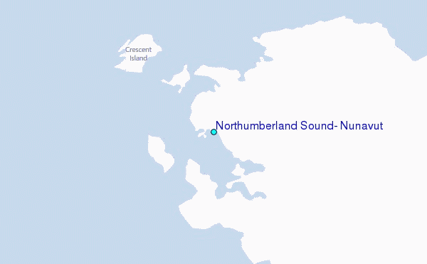