
| Distance / Altitude | Location | Report Date / Time | Live Weather | Wind | Gusts | Temp. | Visibility | Cloud |
|---|---|---|---|---|---|---|---|---|
| 28 km SSW / 216 m | Goose Bay Airport (Newfoundland) | 2025-12-25 08:30 local (2025/12/25 12:00 GMT) | Dry and partly cloudy | light winds from the W (13 km/h at 280) | -27°C | 24 | scattered scattered few | |
| 28 km S / 1 m | Goose Ua- Nfld (Canada) | 2025-12-25 09:30 local (2025/12/25 13:00 GMT) | - | - (- km/h at -) | — | - | - | |
| 184 km NNE / 345 m | Makkovik Airport (Newfoundland) | 2025-12-25 08:30 local (2025/12/25 12:00 GMT) | - | light winds from the SW.(Wind varies from 210 to 270 degs) (11 km/h at 220) | -19°C | 24 | few few | |
| 207 km E / 14 m | Cartwright (Canada) | 2025-12-25 09:30 local (2025/12/25 13:00 GMT) | - | light winds from the SW (7 km/h at 230) | — | 36 km | - clear - | |
| 207 km E / 12 m | Cartwright Airport (Newfoundland) | 2025-12-25 08:30 local (2025/12/25 12:00 GMT) | Dry and partly cloudy | light winds from the SSW (11 km/h at 200) | -20°C | 14 | broken broken | |
| 215 km N / 212 m | Hopedale Airport (Newfoundland) | 2025-12-25 08:30 local (2025/12/25 12:00 GMT) | - | strong winds from the S (44 km/h at 180) | -19°C | 0.0 | ||
| 215 km N / 10 m | Hopedale (Aut)- Nfld (Canada) | 2025-12-25 08:30 local (2025/12/25 12:00 GMT) | - | - (- km/h at 320) | — | - | - | |
| 261 km WSW / 711 m | Churchill Falls Airport (Newfoundland) | 2025-12-25 08:30 local (2025/12/25 12:00 GMT) | Dry and cloudy | calm (4 km/h at 1) | -27°C | 14 | overcast | |
| 262 km WSW / 440 m | ChurchillFallsA- Nfld (Canada) | 2025-12-25 09:30 local (2025/12/25 13:00 GMT) | - | wind obs. (7 kph from 250 degs) was rejected (- km/h at -) | — | 36 km | - clear - | |
| 280 km SSW / 589 m | Lake Eon (Canada) | 2025-12-25 09:30 local (2025/12/25 13:00 GMT) | - | wind obs. (7 kph from 150 degs) was rejected (- km/h at -) | — | - | - - - |
| Contours: | Roads & Rivers: | Select a
tide station / surf break / city |
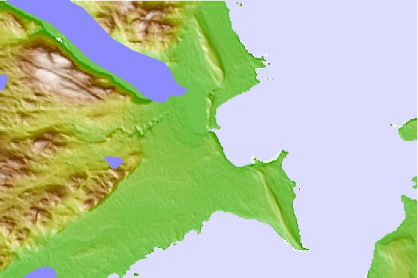
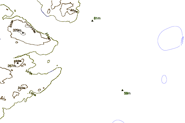
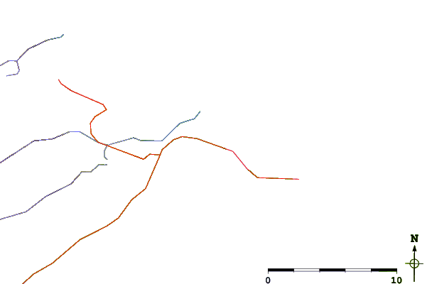
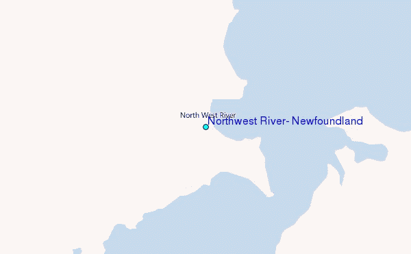
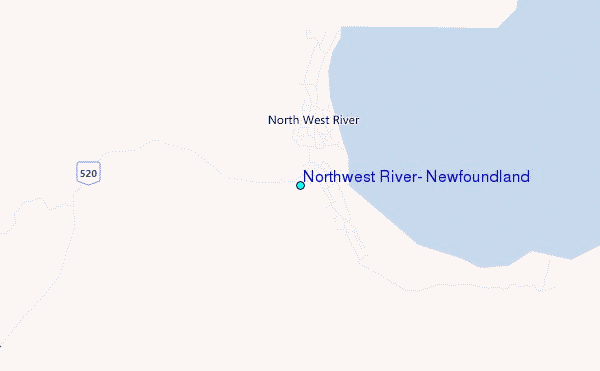
Use this relief map to navigate to tide stations, surf breaks and cities that are in the area of Northwest River, Newfoundland.
Other Nearby Locations' tide tables and tide charts to Northwest River, Newfoundland:
click location name for more details
 Surf breaks close to Northwest River, Newfoundland:
|
||
|---|---|---|
| Closest surf break | Ingonish Beach | 475 mi |
| Second closest surf break | Kennington Cove | 528 mi |
| Third closest surf break | Michaud Point | 550 mi |
| Fourth closest surf break | Martinique | 625 mi |
| Fifth closest surf break | Lawrencetown Left Point | 630 mi |


 Nearest
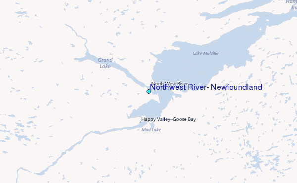