
| Distance / Altitude | Location | Report Date / Time | Live Weather | Wind | Gusts | Temp. | Visibility | Cloud |
|---|---|---|---|---|---|---|---|---|
| 49 km NW / 86 m | Kaitaia Airport (New Zealand) | 2026-05-25 03:00 local (2026/05/24 15:00 GMT) | Clear skies | light winds from the ESE (19 km/h at 110) | 15°C | 10 km | - no observation - | |
| 53 km ENE / 151 m | Kerikeri Aero Automatic Weather Station (New Zealand) | 2026-05-25 03:00 local (2026/05/24 15:00 GMT) | Clear skies | light winds from the ESE (17 km/h at 120) | 14°C | 20 km | no observation | |
| 68 km N / 18 m | Tokerau Beach wx (New Zealand) | 2026-05-25 03:27 local (2026/05/24 15:27 GMT) | dry | moderate winds from the ESE (27 km/h at 120) | 17°C | - | - - 0 | |
| 92 km ESE / 38 m | Whangarei Aero Automatic Weather Station (New Zealand) | 2026-05-25 03:00 local (2026/05/24 15:00 GMT) | Clear skies | moderate winds from the E (24 km/h at 90) | 15°C | 10 km | no observation | |
| 92 km ESE / 38 m | Whangarei Aerodrome (New Zealand) | 2026-05-25 03:00 local (2026/05/24 15:00 GMT) | Clear skies | moderate winds from the E (24 km/h at 90) | 15°C | 10 km | - no observation - | |
| 136 km NW / 212 m | CapeReingaAws (New Zealand) | 2026-05-25 03:00 local (2026/05/24 15:00 GMT) | - | strong winds from the E (39 km/h at 90) | 15°C | - | - no observation - | |
| 162 km ESE / 70 m | MokohinauIslandAws (New Zealand) | 2026-05-25 03:00 local (2026/05/24 15:00 GMT) | Continuous light rain | gales from the ESE (63 km/h at 110) | 16°C | - | - no observation - | |
| 171 km SE / 75 m | Albany (New Zealand) | 2026-05-25 03:45 local (2026/05/24 15:45 GMT) | dry | calm (5 km/h at 146) | 13°C | - | - - 0 | |
| 173 km SE / 64 m | Auckland (New Zealand) | 2026-05-25 02:39 local (2026/05/24 14:39 GMT) | dry | light winds from the ESE (8 km/h at 121) | 13°C | - | - - 0 | |
| 175 km SSE / 85 m | Maori Bay- Muriwai (New Zealand) | 2026-05-25 03:00 local (2026/05/24 15:00 GMT) | - | light winds from the ESE (15 km/h at 104) | — | - | - - 0 |
| Contours: | Roads & Rivers: | Select a
tide station / surf break / city |
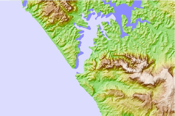
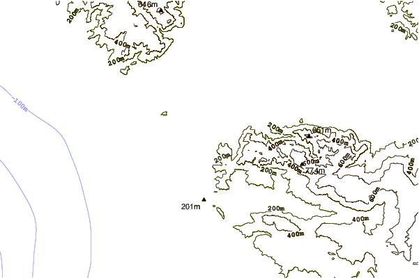
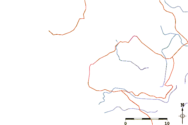
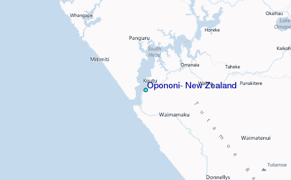
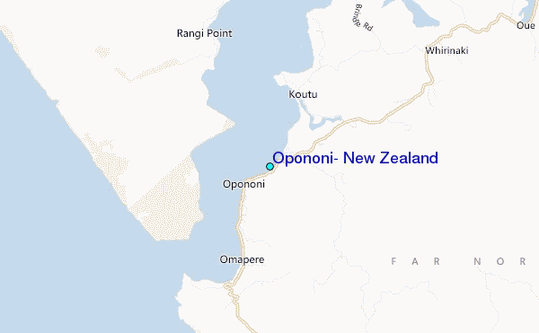
Use this relief map to navigate to tide stations, surf breaks and cities that are in the area of Opononi, New Zealand.
Other Nearby Locations' tide tables and tide charts to Opononi, New Zealand:
click location name for more details
 Surf breaks close to Opononi, New Zealand:
|
||
|---|---|---|
| Closest surf break | Mukerau Beach | 27 mi |
| Second closest surf break | Shipwrecks Bay-Peaks | 27 mi |
| Third closest surf break | Ninety Mile Beach | 27 mi |
| Fourth closest surf break | Shipwreck Bay-Supertubes | 28 mi |
| Fifth closest surf break | Shipwreck Bay-Pines | 29 mi |


 Nearest
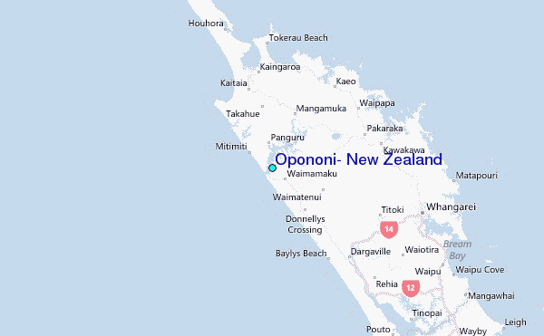