
| Distance / Altitude | Location | Report Date / Time | Live Weather | Wind | Gusts | Temp. | Visibility | Cloud |
|---|---|---|---|---|---|---|---|---|
| 4 km WSW / 3 m | SHIP5594 (Marine) | 2025-12-23 15:00 local (2025/12/23 19:00 GMT) | - (- km/h at -) | 30°C | - | |||
| 4 km WSW / 169 m | Queen Beatrix Airport (Lesser Antilles) | 2025-12-23 14:00 local (2025/12/23 18:00 GMT) | Dry and partly cloudy | fresh winds from the E (31 km/h at 80) | 30°C | 10.0 | scattered | |
| 114 km ESE / 187 m | Hato Air Curacao Airport (Virgin Islands) | 2025-12-23 14:00 local (2025/12/23 18:00 GMT) | - | light winds from the E (19 km/h at 80) | 31°C | 10.0 | few | |
| 114 km ESE / 0 m | HatoAirport-Curacao (78988 -1) (Curacao) | 2025-12-23 15:00 local (2025/12/23 19:00 GMT) | Distant precipitation but not falling at station | moderate winds from the ENE (24 km/h at 70) | 30°C | 35 km | few | |
| 120 km ESE / 1 m | Willemstad wx (Curacao) | 2025-12-23 14:45 local (2025/12/23 18:45 GMT) | dry | light winds from the E (10 km/h at 87) | 31°C | - | - - 0 | |
| 187 km ESE / 175 m | Bonaire/Flamingo Airport (Lesser Antilles) | 2025-12-23 13:55 local (2025/12/23 17:55 GMT) | Dry and partly cloudy | moderate winds from the E.(Wind varies from 040 to 120 degs) (26 km/h at 80) | 29°C | 10.0 | scattered | |
| 188 km ESE / 3 m | Flamingo Airport- Bonaire (Netherlands) | 2025-12-23 14:00 local (2025/12/23 18:00 GMT) | no report | fresh winds from the E (29 km/h at 100) | 28°C | 23 | - | |
| 197 km ESE / 15 m | SHIP4264 (Marine) | 2025-12-23 13:00 local (2025/12/23 17:00 GMT) | - (- km/h at -) | — | - km | |||
| 197 km ESE / 3 m | SHIP4559 (Marine) | 2025-12-23 13:00 local (2025/12/23 17:00 GMT) | - (- km/h at -) | 32°C | - | |||
| 197 km ESE / 3 m | SHIP2568 (Marine) | 2025-12-23 13:00 local (2025/12/23 17:00 GMT) | - (- km/h at -) | 32°C | - |
| Contours: | Roads & Rivers: | Select a
tide station / surf break / city |
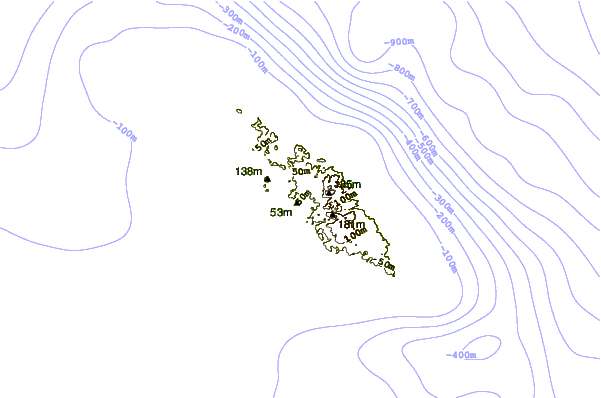
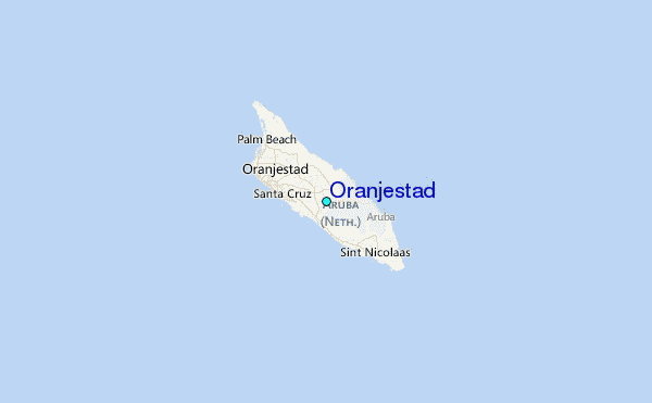
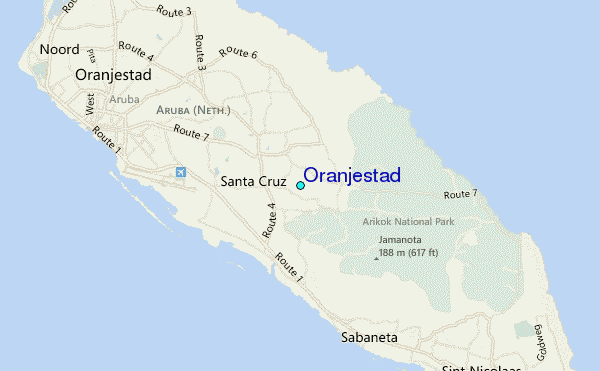
Use this relief map to navigate to tide stations, surf breaks and cities that are in the area of Oranjestad.
Other Nearby Locations' tide tables and tide charts to Oranjestad:
click location name for more details
 Surf breaks close to Oranjestad:
|
||
|---|---|---|
| Closest surf break | Andicuri | 2 mi |
| Second closest surf break | Shark Bay | 2 mi |
| Third closest surf break | Dos Playa | 3 mi |
| Fourth closest surf break | Wariruri | 4 mi |
| Fifth closest surf break | Manchebo Beach | 7 mi |


 Nearest
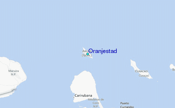