
| Distance / Altitude | Location | Report Date / Time | Live Weather | Wind | Gusts | Temp. | Visibility | Cloud |
|---|---|---|---|---|---|---|---|---|
| 315 km NNE / 3 m | BUOY-46070 (Marine) | 2026-07-23 19:30 local (2026/07/24 04:30 GMT) | light winds from the E (14 km/h at 100) | 8°C | - | |||
| 352 km SSE / 15 m | SHIP4999 (Marine) | 2026-07-23 18:00 local (2026/07/24 03:00 GMT) | strong winds from the S (40.68000000000001 km/h at 180) | 11°C | 1.6 km | |||
| 451 km ESE / 3 m | Western Aleutians Buoy (Marine) | 2026-07-23 19:30 local (2026/07/24 04:30 GMT) | moderate winds from the SSE (25 km/h at 160) | 9°C | - | |||
| 592 km WNW / 18 m | Ostrov Beringa (Russia) | 2026-07-23 19:00 local (2026/07/24 04:00 GMT) | no report | wind obs. (25 kph from 200 degs) was rejected (- km/h at -) | 6°C | 20 | - - - | |
| 665 km E / 506 m | Adak Naval Air Station Airport (Alaska) | 2026-07-23 17:56 local (2026/07/24 02:56 GMT) | Dry and cloudy | light winds from the SW (7 km/h at 230) | 16°C | 16 | broken broken overcast | |
| 554 km SSE / 3 m | SHIP3213 (Marine) | 2026-07-23 18:00 local (2026/07/24 03:00 GMT) | near gales from the SSE (52 km/h at 160) | 14°C | 0.5 | |||
| 554 km SSE / 15 m | SHIP5231 (Marine) | 2026-07-23 18:00 local (2026/07/24 03:00 GMT) | near gales from the SSE (51.84 km/h at 160) | 15°C | 0.4 km | |||
| 554 km SSE / 15 m | SHIP2074 (Marine) | 2026-07-23 18:00 local (2026/07/24 03:00 GMT) | near gales from the SSE (51.84 km/h at 160) | 15°C | 0.4 km | |||
| 593 km WNW / 18 m | Ostrov Beringa (Russia) | 2026-07-23 19:00 local (2026/07/24 04:00 GMT) | no report | wind obs. (25 kph from 200 degs) was rejected (- km/h at -) | 6°C | 20 | - - - | |
| 622 km ENE / 15 m | SHIP49 (Marine) | 2026-07-23 19:00 local (2026/07/24 04:00 GMT) | strong winds from the S (42.480000000000004 km/h at 180) | — | 3.2 km |
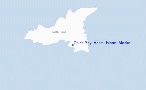
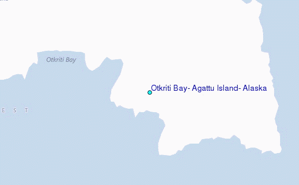
Choose Otkriti Bay, Agattu Island, Alaska Location Map Zoom:
| Contours: | Roads & Rivers: | Select a
tide station / surf break / city |
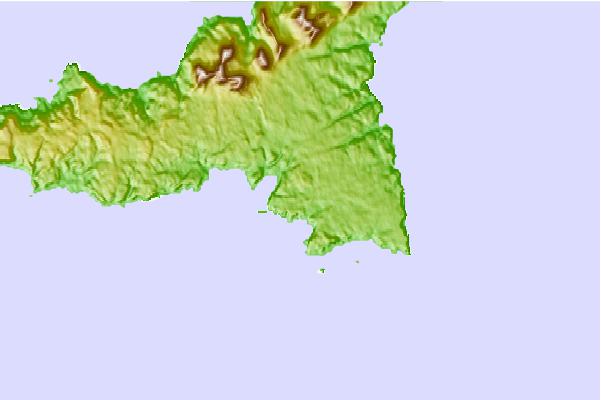
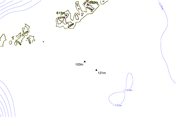
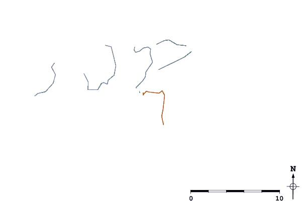
Use this relief map to navigate to tide stations, surf breaks and cities that are in the area of Otkriti Bay, Agattu Island, Alaska.
Other Nearby Locations' tide tables and tide charts to Otkriti Bay, Agattu Island, Alaska:
click location name for more details
 Surf breaks close to Otkriti Bay, Agattu Island, Alaska:
|
||
|---|---|---|
| Closest surf break | Khalaktyrsky Beach | 619 mi |
| Second closest surf break | Monashka Bay | 1378 mi |
| Third closest surf break | Termination Point | 1379 mi |
| Fourth closest surf break | Fossil Beach Kodiak | 1380 mi |
| Fifth closest surf break | Mill Bay | 1381 mi |


 Nearest
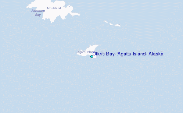